world.wikisort.org - Espagne
Guareña est une commune d’Espagne, dans la province de Badajoz, communauté autonome d'Estrémadure.
Pour les articles homonymes, voir Guareña (homonymie).
| Guareña | |||
 Héraldique |
|||
| Administration | |||
|---|---|---|---|
| Pays | |||
| Communauté autonome | Estrémadure | ||
| Province | Badajoz | ||
| Code postal | 06470 | ||
| Démographie | |||
| Population | 6 812 hab. () | ||
| Densité | 24 hab./km2 | ||
| Géographie | |||
| Coordonnées | 38° 51′ 00″ nord, 6° 05′ 00″ ouest | ||
| Altitude | 285 m |
||
| Superficie | 28 330 ha = 283,3 km2 | ||
| Localisation | |||
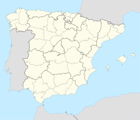
| Géolocalisation sur la carte : Espagne
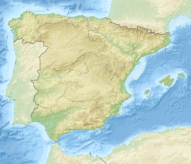
Géolocalisation sur la carte : Espagne
| |||
| modifier |
|||
Liens externes
- Portail de l’Estrémadure
На других языках
[de] Guareña
Guareña ist eine spanische Gemeinde (municipio), die zur Provinz Badajoz in der Autonomen Gemeinschaft Extremadura gehört. Die Stadt mit 6964 Einwohnern (Stand: 2019) liegt im zentralen nördlichen Teil der Provinz Badajoz.[en] Guareña
Guareña is a Spanish municipality in the province of Badajoz, Extremadura. It has a population of 7,326 (2007) and an area of 283.3 km².[es] Guareña (Badajoz)
Guareña es un municipio español, perteneciente a la provincia de Badajoz, en la Comunidad Autónoma de Extremadura. La localidad, de 7097 habitantes (INE 2016), se sitúa en el tercio central de la Comunidad, en la zona norte de la provincia de Badajoz. El municipio de Guareña pertenece a la comarca de Vegas Altas y al partido judicial de Don Benito. Eclesiásticamente depende de la diócesis de Plasencia. En su municipio se incluye la entidad menor local de Torrefresneda.- [fr] Guareña
[ru] Гуаренья
Гуаренья (исп. Guareña) — населённый пункт и муниципалитет в Испании, входит в провинцию Бадахос в составе автономного сообщества Эстремадура. Муниципалитет находится в составе района (комарки) Лас-Вегас-Альтас. Занимает площадь 238 км². Население — 7300 человек (на 2010 год). Расстояние до административного центра провинции — 83 км.Текст в блоке "Читать" взят с сайта "Википедия" и доступен по лицензии Creative Commons Attribution-ShareAlike; в отдельных случаях могут действовать дополнительные условия.
Другой контент может иметь иную лицензию. Перед использованием материалов сайта WikiSort.org внимательно изучите правила лицензирования конкретных элементов наполнения сайта.
Другой контент может иметь иную лицензию. Перед использованием материалов сайта WikiSort.org внимательно изучите правила лицензирования конкретных элементов наполнения сайта.
2019-2025
WikiSort.org - проект по пересортировке и дополнению контента Википедии
WikiSort.org - проект по пересортировке и дополнению контента Википедии

