world.wikisort.org - Espagne
Cadalso est une commune de la province de Cáceres dans la communauté autonome d'Estrémadure en Espagne.
| Cadalso | |||
 Héraldique |
 Drapeau |
||
| Administration | |||
|---|---|---|---|
| Pays | |||
| Communauté autonome | Estrémadure | ||
| Province | Cáceres | ||
| Code postal | 10865 | ||
| Démographie | |||
| Population | 417 hab. () | ||
| Densité | 60 hab./km2 | ||
| Géographie | |||
| Coordonnées | 40° 14′ 00″ nord, 6° 32′ 00″ ouest | ||
| Altitude | 780 m |
||
| Superficie | 700 ha = 7 km2 | ||
| Localisation | |||
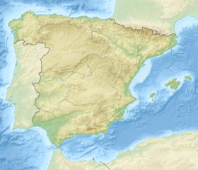
| Géolocalisation sur la carte : Espagne
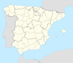
Géolocalisation sur la carte : Espagne
| |||
| modifier |
|||
Géographie
Histoire
Administration
Économie
Culture et patrimoine
- Portail de l’Estrémadure
На других языках
[en] Cadalso
Cadalso is a small village in the west of Spain, near Portugal. It is situated on the Sierra de Gata in Northwest of province of Cáceres, autonomous community of Extremadura. Its population in 2003 was 581. The major livelihoods of the area consist of agriculture, olive oil, goats and pines.[es] Cadalso (Cáceres)
Cadalso de Gata es un municipio español de la provincia de Cáceres, Extremadura.- [fr] Cadalso
[ru] Кадальсо
Кадальсо (исп. Cadalso) — муниципалитет в Испании, входит в провинцию Касерес в составе автономного сообщества Эстремадура. Муниципалитет находится в составе района (комарки) Сьерра-де-Гата. Занимает площадь 7 км². Население — 508 человек (на 2010 год). Расстояние до административного центра провинции — 108 км.Текст в блоке "Читать" взят с сайта "Википедия" и доступен по лицензии Creative Commons Attribution-ShareAlike; в отдельных случаях могут действовать дополнительные условия.
Другой контент может иметь иную лицензию. Перед использованием материалов сайта WikiSort.org внимательно изучите правила лицензирования конкретных элементов наполнения сайта.
Другой контент может иметь иную лицензию. Перед использованием материалов сайта WikiSort.org внимательно изучите правила лицензирования конкретных элементов наполнения сайта.
2019-2025
WikiSort.org - проект по пересортировке и дополнению контента Википедии
WikiSort.org - проект по пересортировке и дополнению контента Википедии

