world.wikisort.org - Spain
Bétera (Valencian pronunciation: [ˈbeteɾa]) is a municipality in the comarca of Camp de Túria in the Valencian Community, Spain. With 23.647 inhabitants, it is the second most populous town in the Camp de Túria shire (INE 2018), in the second zone of the Valencia metropolitan area.
This article does not cite any sources. (February 2008) |
Bétera | |
|---|---|
Municipality | |
 Flag  Coat of arms | |
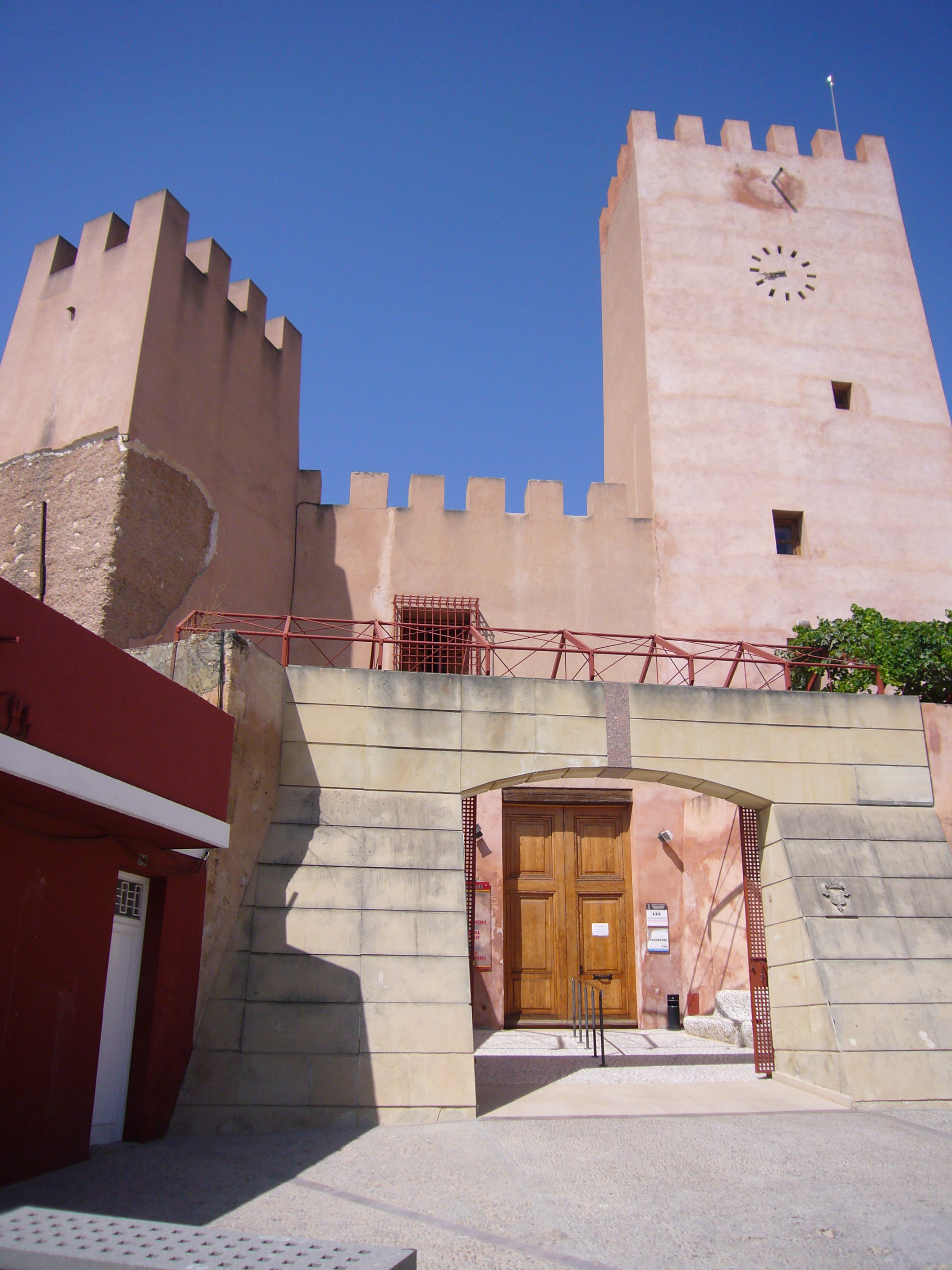
 Bétera Location in Spain | |
| Coordinates: 39°35′36″N 0°27′46″W | |
| Country | |
| Autonomous community | |
| Province | Valencia |
| Comarca | Camp de Túria |
| Judicial district | Llíria |
| Government | |
| • Mayoress | Mª Elia Verdevío Escribá (PP) |
| Area | |
| • Total | 75.70 km2 (29.23 sq mi) |
| Elevation | 125 m (410 ft) |
| Population (2018)[1] | |
| • Total | 23,647 |
| • Density | 310/km2 (810/sq mi) |
| Demonym(s) | Beterà, beterana |
| Time zone | UTC+1 (CET) |
| • Summer (DST) | UTC+2 (CEST) |
| Postal code | 46117 |
| Official language(s) | Valencian |
| Website | Official website |
Geography
Bétera is situated on the southern slopes of the Serra Calderona, 15 km from Valencia and 23 km from the Mediterranean Sea on the border with the Valencian "market garden", L'Horta. It has a slightly undulating surface, reaching 156 meters at its highest point.
Its geographical location between the sea and mountains provides a microclimate, which is the mildest of the region, where the prevailing winds are Levant and Ponente. The rains occur mainly in autumn and spring.
As it is in the metropolitan area of Valencia, there are several road links, such as the Burjassot-Torres Torres road, the Bétera-Olocau road, the San Antonio de Benagéber road which links to the motorway Valencia Turia-Ademuz (CV-35) and the Mediterranean motorway (A-7), as well as others leading to the parishes and neighbourhoods of the city and surrounding towns.
Public transport is accessible via one of the northern terminal stations of Metro Line 1 of Valencia. This railway line (which, though given the title "Metro", is more a commuter rail) is heir to the former Valencia Trenet, ranging from Bétera to the Pont de Fusta station in Valencia. The Sanatori Psiquiàtric stop also serves the town.
Districts and Parishes
Surrounding Bétera are also the following districts:
- El Baró:. Urbanisation Vall de Flors.
- La Malla:. Urbanisation La Masia and the military base "Jaime I", under NATO high command.
- Mallaetes:. La Cornada and Montesano.
- Masia Arnal:. Les Almudes.
- Mas Camarena:. La Esmeralda, Las Fuentes, Oasis, Sector A, Soto de Camarena and Jardines de Camarena.
- Providencia:. Camí de Paterna, Urbanisations Cumbres de San Antonio, Torre En Conill and la Virgen de la Estrella.
The southern part of town has grown rapidly in recent years, and there are several developments planned and under construction, contiguous to the urban area.
Bordering towns
- Godella
- Montcada
- Nàquera
- Paterna
- Pobla de Vallbona
- Serra
- Valencia
- San Antonio de Benagéber
Twinning
Bétera is twinned with:
 Italy Pont-Saint-Martin (Val d'Aosta, Italy)
| Wikimedia Commons has media related to Bétera. |
References
- Municipal Register of Spain 2018. National Statistics Institute.
Municipalities of Camp de Túria | ||
|---|---|---|
| ||
Municipalities of the province of Valencia | ||
|---|---|---|
|  | |
Authority control | |
|---|---|
| General |
|
| Other |
|
На других языках
- [en] Bétera
[es] Bétera
Bétera es un municipio de la Comunidad Valenciana (España) perteneciente a la provincia de Valencia, situado al este de la comarca del Campo de Turia, siendo su segundo municipio más poblado con 24 604 (INE 2020).[1] Pertenece a la segunda corona metropolitana de Valencia y es la cabecera de servicios de la subcomarca del Alto Carraixet, que la engloba junto a Náquera, Serra, Olocau, Marines y Gátova.Другой контент может иметь иную лицензию. Перед использованием материалов сайта WikiSort.org внимательно изучите правила лицензирования конкретных элементов наполнения сайта.
WikiSort.org - проект по пересортировке и дополнению контента Википедии