world.wikisort.org - South_Africa
Alma is a small town situated south of Vaalwater in the Limpopo province of South Africa. The area is surrounded by green-gray bushveld vegetation and a few private game reserves are located in the malaria free area.
Alma | |
|---|---|
 Alma  Alma | |
| Coordinates: 24.489°S 28.071°E | |
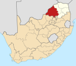
| Country | South Africa |
| Province | Limpopo |
| District | Waterberg |
| Municipality | Modimolle–Mookgophong |
| Area | |
| • Total | 0.82 km2 (0.32 sq mi) |
| Population (2011)[1] | |
| • Total | 1,553 |
| • Density | 1,900/km2 (4,900/sq mi) |
| Racial makeup (2011) | |
| • Black African | 99.8% |
| • Coloured | 0.1% |
| • Indian/Asian | 0.1% |
| • White | 0.1% |
| First languages (2011) | |
| • Northern Sotho | 65.7% |
| • Tsonga | 21.5% |
| • Tswana | 3.2% |
| • Sotho | 2.3% |
| • Other | 7.3% |
| Time zone | UTC+2 (SAST) |
| PO box | 0512 |
| Area code | 014 |
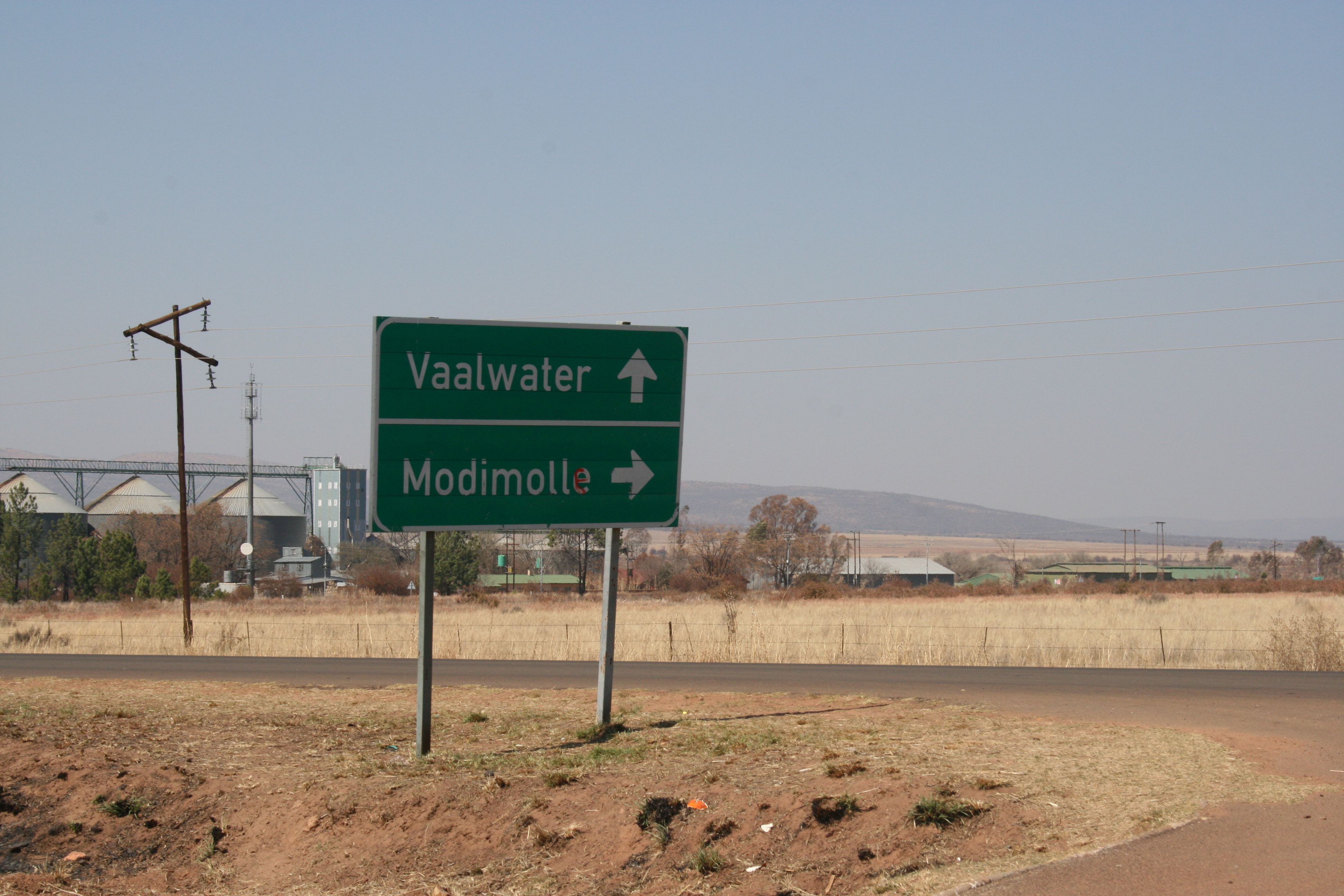
The Mokolo River originates near Alma at the confluence of the Sand River with the Grootspruit River in a flattish, open area with numerous koppies, before it flows through a steep gorge emerging above the town of Vaalwater. The town is served by Laerskool Alma, a primary and early secondary school situated 24 kilometres (15 mi) from Vaalwater.
Nearby towns
- Warmbaths (now known as Bela Bela)
- Lephalale/Ellisras
- Modimolle/Nylstroom
- Naboomspruit
- Thabazimbi
- Vaalwater
References
- "Main Place Alma". Census 2011.
Municipalities and communities of Waterberg District Municipality, Limpopo | ||
|---|---|---|
District seat: Nylstroom (Modimolle) | ||
| Thabazimbi |
|  |
| Lephalale |
| |
| Modimolle–Mookgophong | ||
| Bela-Bela |
| |
| Mogalakwena |
| |
Текст в блоке "Читать" взят с сайта "Википедия" и доступен по лицензии Creative Commons Attribution-ShareAlike; в отдельных случаях могут действовать дополнительные условия.
Другой контент может иметь иную лицензию. Перед использованием материалов сайта WikiSort.org внимательно изучите правила лицензирования конкретных элементов наполнения сайта.
Другой контент может иметь иную лицензию. Перед использованием материалов сайта WikiSort.org внимательно изучите правила лицензирования конкретных элементов наполнения сайта.
2019-2025
WikiSort.org - проект по пересортировке и дополнению контента Википедии
WikiSort.org - проект по пересортировке и дополнению контента Википедии