world.wikisort.org - Poland
Kęty [ˈkɛntɨ] is a town in Oświęcim County, Lesser Poland Voivodeship, Poland with 18,955 inhabitants (2012). The town located in Silesian Foothills dates its earliest document from 1277 when Polish prince of Opole Władysław confirmed sale of the settlement and adoption of Lviv city rights.[1] The town's name comes from the word kąt (Polish for corner). The greatest development of the town came under the rule of Jagiellons, when the town became royal property.[2]
This article may be expanded with text translated from the corresponding article in Polish. (July 2016) Click [show] for important translation instructions.
|
Kęty | |
|---|---|
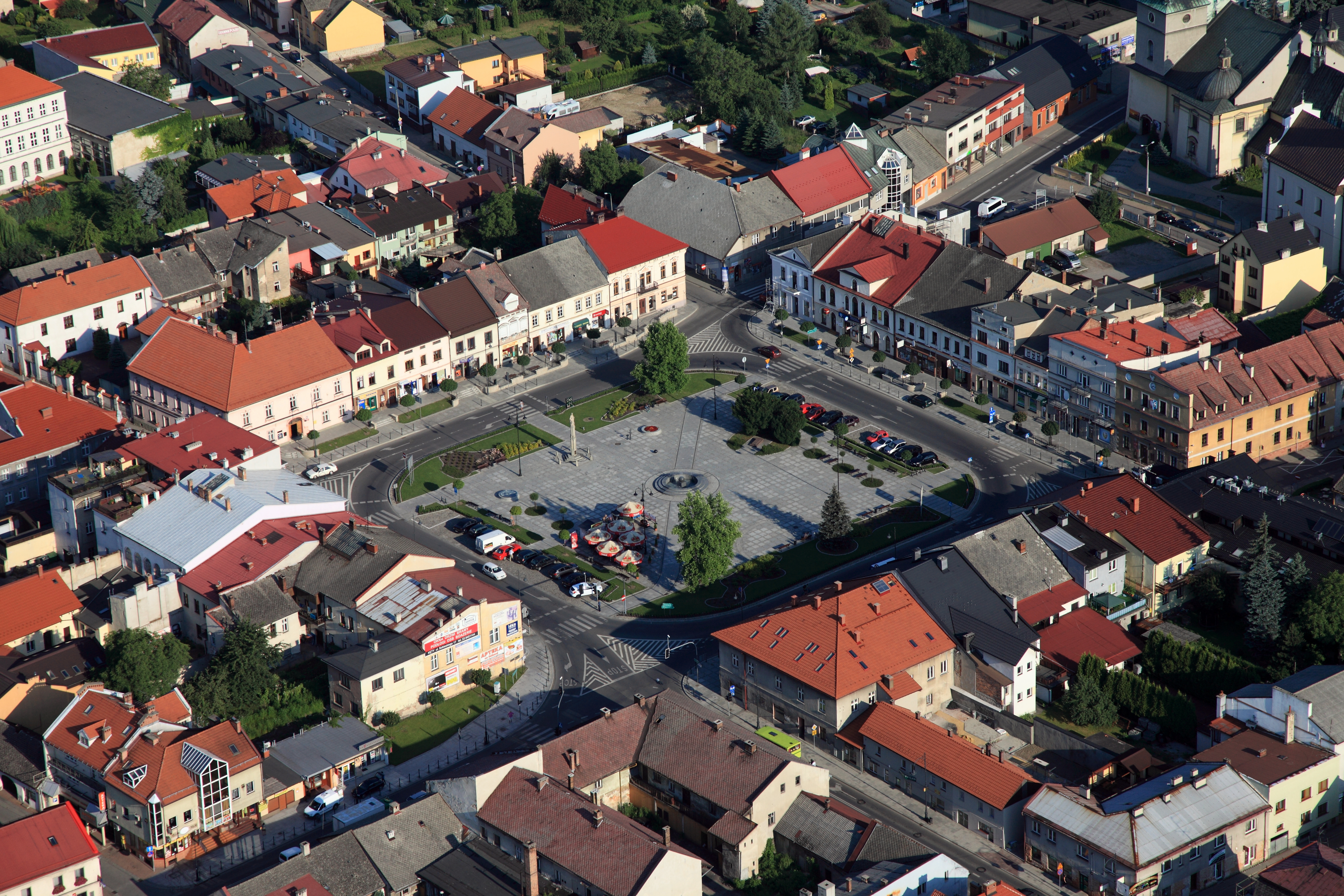 Central Kęty | |
 Coat of arms | |
 Kęty | |
| Coordinates: 49°54′N 19°13′E | |
| Country | |
| Voivodeship | Lesser Poland |
| County | Oświęcim |
| Gmina | Kęty |
| Government | |
| • Mayor | Krzysztof Jan Klęczar |
| Area | |
| • Total | 23.14 km2 (8.93 sq mi) |
| Elevation | 315 m (1,033 ft) |
| Population (2006) | |
| • Total | 19,252 |
| • Density | 830/km2 (2,200/sq mi) |
| Time zone | UTC+1 (CET) |
| • Summer (DST) | UTC+2 (CEST) |
| Postal code | 32-650 |
| Car plates | KOS |
| Website | http://www.kety.pl |
The son of the mayor of the town of Kenty, Stanislaus Bacenga and his wife Anna became the Saint John Cantius, also known as John (Johann) of Kraków.
- Publiczne Przedszkole Sióstr Zmartwychwstanek im. bł. Matki Celiny Borzęckiej
- Zespół Szkolno-Gimnazjalny Nr 1 w Kętach
- Zespół Szkolno-Gimnazjalny Nr 2 w Kętach
- Zespół Szkół Podstawowo-Gimnazjalnych nr 3 w Kętach-Podlesiu im. Bohaterów Westerplatte
- Powiatowy Zespół nr 9 Szkół im. Marii Dąbrowskiej w Kętach
- Powiatowy Zespół nr 10 Szkół Mechaniczno-Elektrycznych im. M. Kopernika
- Powiatowy Zespół nr 11 Szkół Ogólnokształcących im. St. Wyspiańskiego
- Centrum Kształcenia Dorosłych w Kętach
International relations
Twin towns — Sister cities
Kęty is twinned with:
 Turzovka[3]
References
- Archived 2009-02-08 at the Wayback Machine Settlement document
- http://www.kety.pl/index.php?option=com_content&task=view&id=22&Itemid=37 Official Page of the city
- Uchwała Nr XII/100/2003 Rady Miejskiej w Kętach z dnia 31 października 2003 r. w sprawie zawarcia umowy o Wzajemnej Współpracy między Gminą Kęty a miastem Turzovka.
External links
- Official town webpage
- Jewish Community in Kęty on Virtual Shtetl
Gmina Kęty | ||
|---|---|---|
| Town and seat |  | |
| Villages |
| |
This Lesser Poland Voivodeship location article is a stub. You can help Wikipedia by expanding it. |
Текст в блоке "Читать" взят с сайта "Википедия" и доступен по лицензии Creative Commons Attribution-ShareAlike; в отдельных случаях могут действовать дополнительные условия.
Другой контент может иметь иную лицензию. Перед использованием материалов сайта WikiSort.org внимательно изучите правила лицензирования конкретных элементов наполнения сайта.
Другой контент может иметь иную лицензию. Перед использованием материалов сайта WikiSort.org внимательно изучите правила лицензирования конкретных элементов наполнения сайта.
2019-2026
WikiSort.org - проект по пересортировке и дополнению контента Википедии
WikiSort.org - проект по пересортировке и дополнению контента Википедии