world.wikisort.org - Pakistan
Chappargram or Chapargram (Urdu: چھپرگرام, Pashto: چھپرګراﻣ) is a village of Battagram District in Khyber-Pakhtunkhwa province of Pakistan.[1] It is part of Ajmera Union Council and lies within Battagram Tehsil and is located about four kilometres from the district headquarters Battagram along the Shahrah-e-Resham (Karakoram Highway) or silk route.[2]
Chappargram
Urdu: چھپرگرام Pashto: چھپرګراﻣ | |
|---|---|
Town and Village | |
 | |
 Chappargram Location in Pakistan | |
| Coordinates: 34°39′45″N 73°2′59″E | |
| Country | |
| Region | |
| District | Battagram District |
| Tehsil | Battagram Tehsil |
| Union Council | Ajmera |
| Village | Chappargram |
| Elevation | 1,073 m (3,520 ft) |
| Population | |
| • Total | 7,500 (approx) |
| Time zone | UTC+5 (PST) |
Chappargram was one of the villages affected by the 2005 Kashmir earthquake of October 8, 2005 when more than 100 people were killed and approximately 500 were injured. Many residents of the village were rendered homeless and without shelter
Gallery
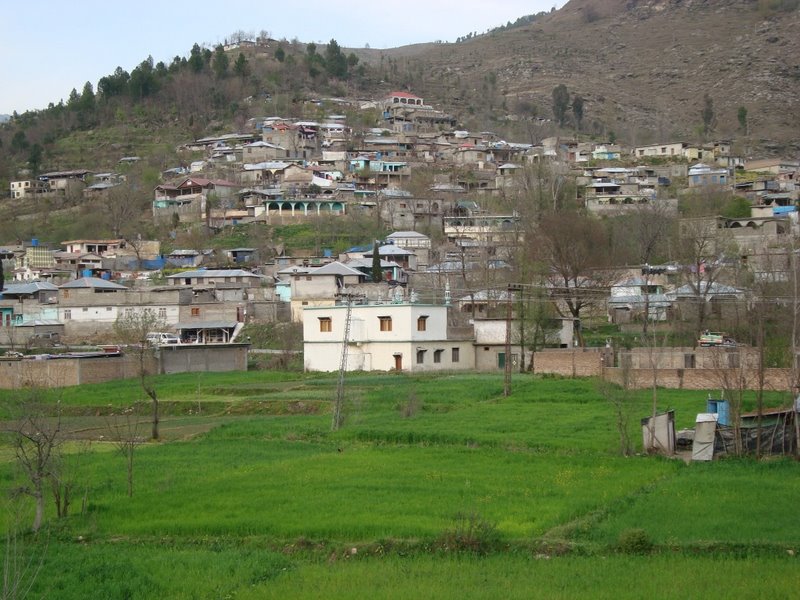
 Chappargram, a village in the Battagram District.
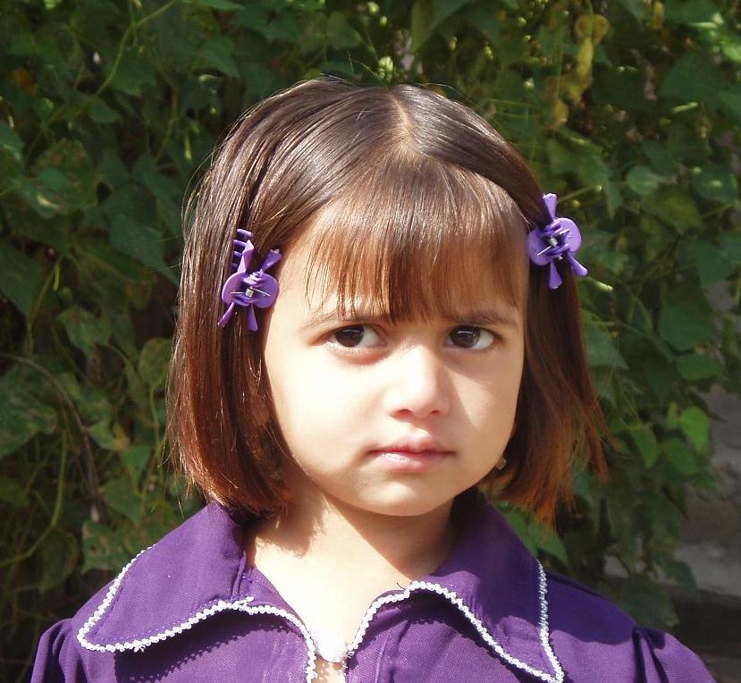
 A child from Chappargram.
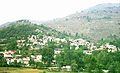
 View of Chappargram from Kandar.

See also
- Ajmera
- Battagram District
- Battagram Tehsil
- Yusafzai
- Khyber-Pakhtunkhwa
References
- List of polling stations in NA-22 – ELECTION COMMISSION OF PAKISTAN (PDF), ECP, 10 February 2008, retrieved 19 March 2012
- Explore Pakistan – Battagram District, FindPakistan, 10 February 2008, retrieved 19 March 2012
External links
- BATTAGRAM-District Profile ERRA
- "List of polling stations" – The Gazette of Pakistan
- "NRC PAKISTAN EARTHQUAKE SITUATION REPORT – WEEK ENDING 5TH FEB 2006" – Norwegian Refugee Council
- World Bank Document
Administrative divisions of Battagram District | ||
|---|---|---|
| Capital |
| |
| Tehsils |
| |
| Union councils |
| |
| Village Councils |
| |
This Battagram District location article is a stub. You can help Wikipedia by expanding it. |
Текст в блоке "Читать" взят с сайта "Википедия" и доступен по лицензии Creative Commons Attribution-ShareAlike; в отдельных случаях могут действовать дополнительные условия.
Другой контент может иметь иную лицензию. Перед использованием материалов сайта WikiSort.org внимательно изучите правила лицензирования конкретных элементов наполнения сайта.
Другой контент может иметь иную лицензию. Перед использованием материалов сайта WikiSort.org внимательно изучите правила лицензирования конкретных элементов наполнения сайта.
2019-2026
WikiSort.org - проект по пересортировке и дополнению контента Википедии
WikiSort.org - проект по пересортировке и дополнению контента Википедии