world.wikisort.org - Norway
Lødingen is the administrative centre of Lødingen Municipality in Nordland county, Norway. The village is located on the southwestern shore of the island of Hinnøya. The village is also located where the southern mouth of the Tjeldsundet strait meets the Vestfjorden. The Norwegian National Road 85 runs through the village and continues on the Bognes–Lødingen ferry route.
Lødingen | |
|---|---|
Village | |
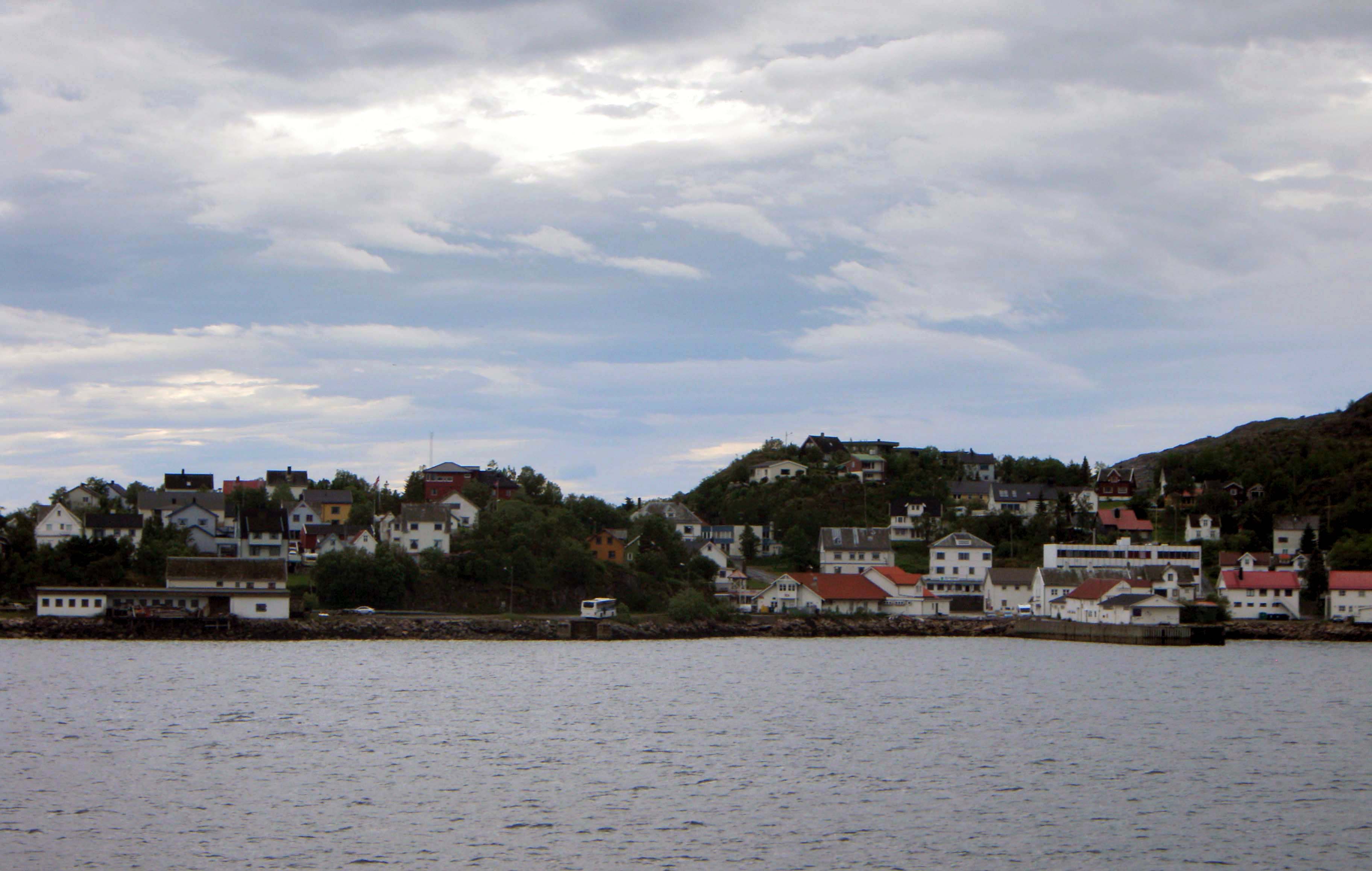 View of the village | |
 Lødingen Location of the village  Lødingen Lødingen (Norway) | |
| Coordinates: 68.4137°N 15.9963°E | |
| Country | Norway |
| Region | Northern Norway |
| County | Nordland |
| District | Ofoten |
| Municipality | Lødingen Municipality |
| Area | |
| • Total | 1.51 km2 (0.58 sq mi) |
| Elevation | 5 m (16 ft) |
| Population (2018)[1] | |
| • Total | 1,696 |
| • Density | 1,123/km2 (2,910/sq mi) |
| Time zone | UTC+01:00 (CET) |
| • Summer (DST) | UTC+02:00 (CEST) |
| Post Code | 8410 Lødingen |
The village is the business and transportation centre for the municipality. It has the municipal government offices, school, Lødingen Church, as well as a museum.[3]
The 1.51-square-kilometre (370-acre) village has a population (2018) of 1,696 which gives the village a population density of 1,123 inhabitants per square kilometre (2,910/sq mi).[1]
Etymology
The village (and municipality) is named after the old Lødingen farm (Old Norse: Lǫðueng), since the first Lødingen Church was built there. The first element is the genitive case of laða which means "grain/hay barn" and the last element is eng which means "meadow".[4]
References
- Statistisk sentralbyrå (1 January 2018). "Urban settlements. Population and area, by municipality".
- "Lødingen (Nordland)". yr.no. Retrieved 2019-01-01.
- Thorsnæs, Geir, ed. (2016-07-14). "Lødingen – tettstedet". Store norske leksikon (in Norwegian). Kunnskapsforlaget. Retrieved 2019-01-01.
- Rygh, Oluf (1905). Norske gaardnavne: Nordlands amt (in Norwegian) (16 ed.). Kristiania, Norge: W. C. Fabritius & sønners bogtrikkeri. p. 297.
This Nordland location article is a stub. You can help Wikipedia by expanding it. |
Другой контент может иметь иную лицензию. Перед использованием материалов сайта WikiSort.org внимательно изучите правила лицензирования конкретных элементов наполнения сайта.
WikiSort.org - проект по пересортировке и дополнению контента Википедии