world.wikisort.org - Norway
Lauvsnes is the administrative centre of the municipality of Flatanger in Trøndelag county, Norway. The village is located along the shore, about 15 kilometres (9.3 mi) northeast of the village of Vik. Lauvsnes has some small industry as well as fish farming. The island of Løvøya lies just north of the village.[3]
Lauvsnes | |
|---|---|
Village | |
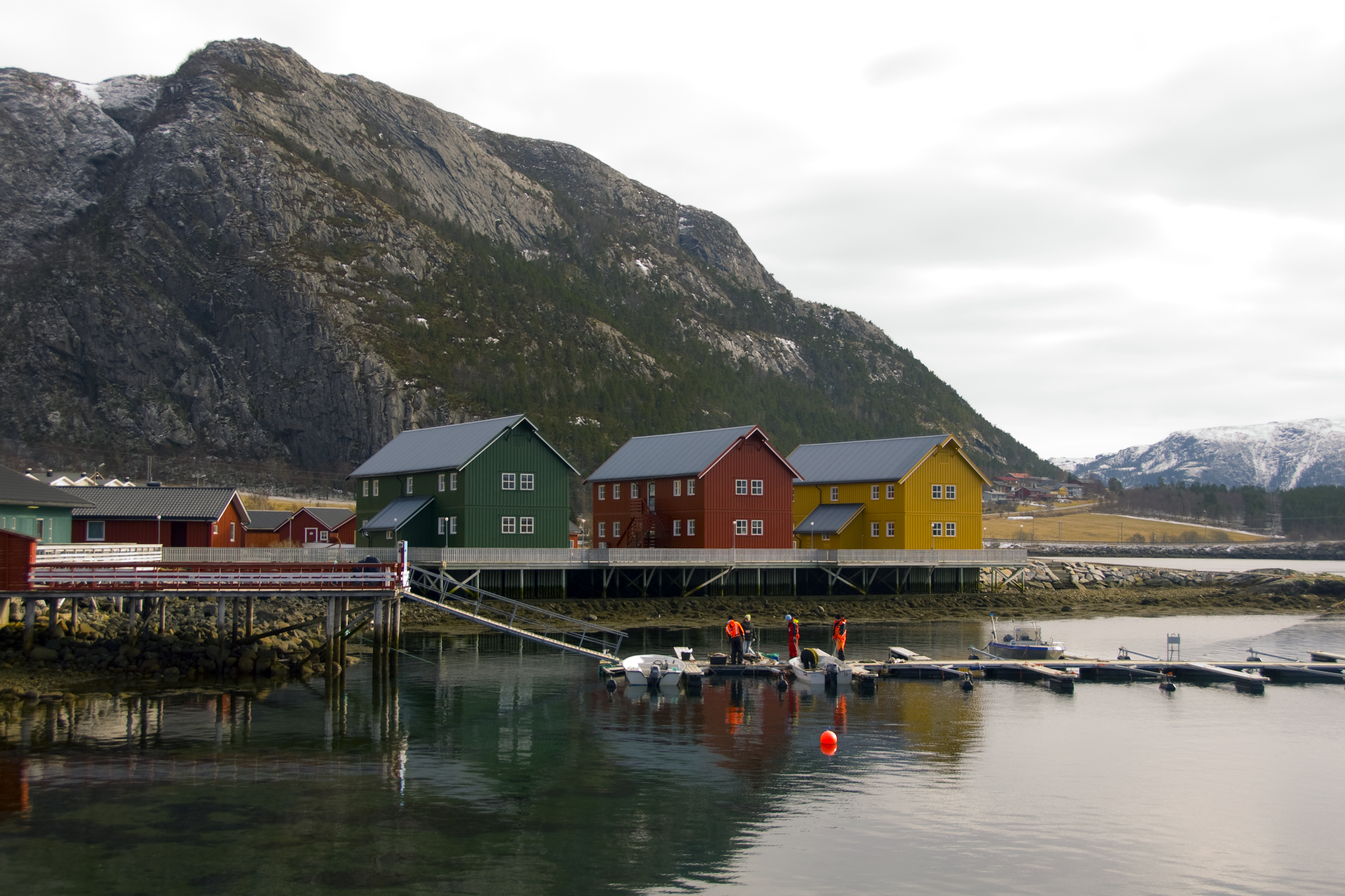 View of the harbor area of Lauvsnes | |
 Lauvsnes Location of the village  Lauvsnes Lauvsnes (Norway) | |
| Coordinates: 64.5006°N 10.8940°E | |
| Country | Norway |
| Region | Central Norway |
| County | Trøndelag |
| District | Namdalen |
| Municipality | Flatanger |
| Area | |
| • Total | 0.54 km2 (0.21 sq mi) |
| Elevation | 12 m (39 ft) |
| Population (2018)[1] | |
| • Total | 467 |
| • Density | 865/km2 (2,240/sq mi) |
| Time zone | UTC+01:00 (CET) |
| • Summer (DST) | UTC+02:00 (CEST) |
| Post Code | 7770 Flatanger |
The 0.54-square-kilometre (130-acre) village has a population (2018) of 467 and a population density of 865 inhabitants per square kilometre (2,240/sq mi).[1]
2006 flood
In January 2006, parts of Lauvsnes were hit by a flood on the river Lauvsneselva, which passes through a dam on its way to the village. The water flowed over the dam from the Lauvsnes lake and rushed down river. A house was carried by the flood and swept into the sea. Two bridges in the village were destroyed. The water and sewer system was damaged, as was the community center. Some people were evacuated from their homes and television footage from the crisis was seen all over Norway.[4]
References
- Statistisk sentralbyrå (1 January 2018). "Urban settlements. Population and area, by municipality".
- "Lauvsnes, Flatanger (Trøndelag)". yr.no. Retrieved 2018-04-16.
- Rosvold, Knut A., ed. (2018-02-20). "Lauvsnes". Store norske leksikon (in Norwegian). Kunnskapsforlaget. Retrieved 2018-04-15.
- Ryste, Camilla (2006-01-31). "Huset seilet ned elven". VG (in Norwegian). Retrieved 2018-04-16.
This Trøndelag location article is a stub. You can help Wikipedia by expanding it. |
Другой контент может иметь иную лицензию. Перед использованием материалов сайта WikiSort.org внимательно изучите правила лицензирования конкретных элементов наполнения сайта.
WikiSort.org - проект по пересортировке и дополнению контента Википедии