world.wikisort.org - Norway
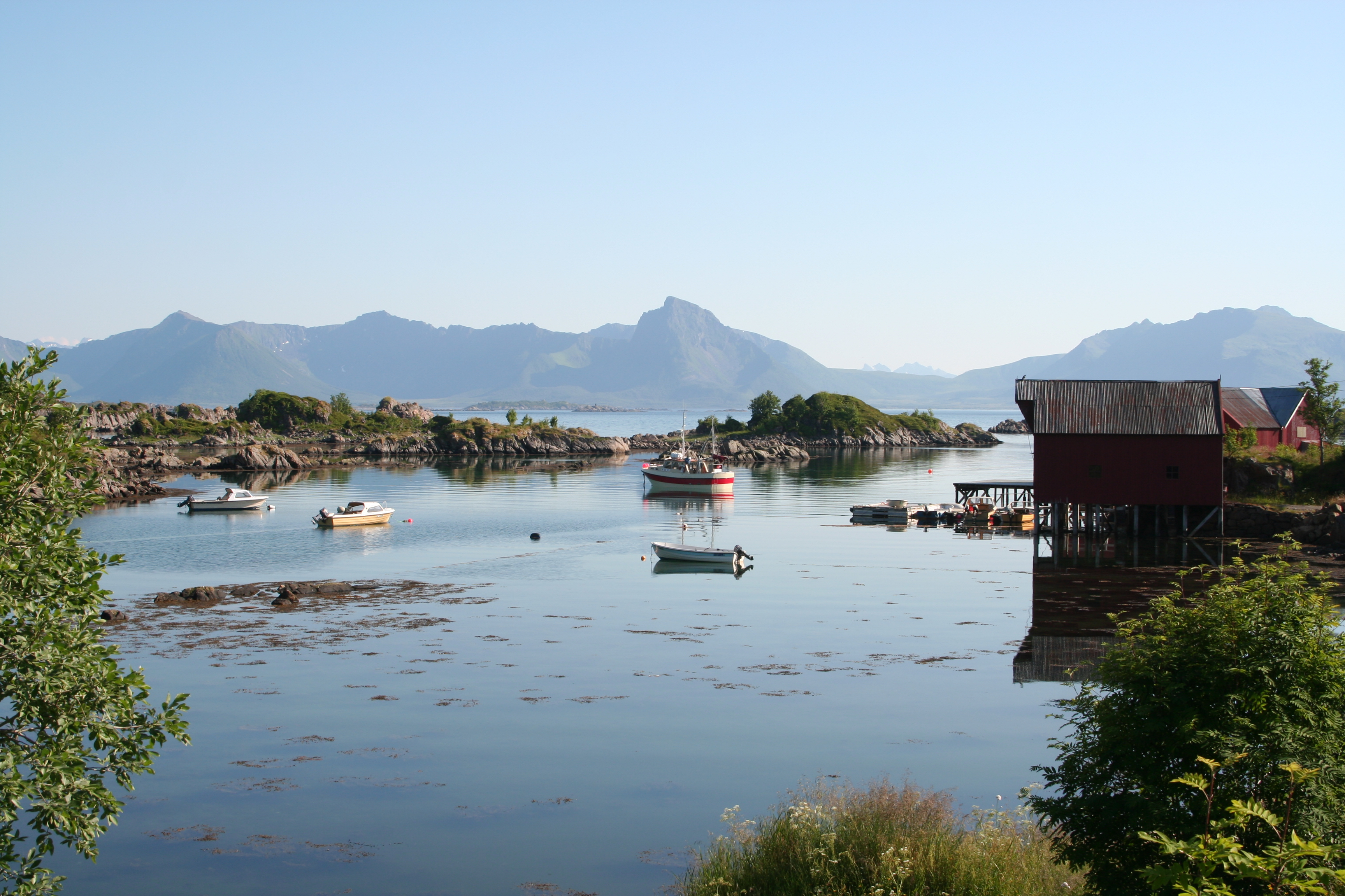
Guvåg is a village in Bø Municipality in Nordland county, Norway. The village is located on the shore of Eidsfjord between the mouth of Jørnfjorden to the east and Hellfjorden to the west. Many skerries lie in the sea near Guvåg. Ørntuva Hill (247 meters or 810 feet) rises immediately north of Guvåg, with the Breitinden Plateau (598 meters or 1,962 feet) rising beyond that.[2][3]
Guvåg | |
|---|---|
Village | |
 | |
 Guvåg Location in Nordland  Guvåg Guvåg (Norway) | |
| Coordinates: 68.6643°N 14.7585°E | |
| Country | Norway |
| Region | Northern Norway |
| County | Nordland |
| District | Vesterålen |
| Municipality | Bø |
| Elevation | 6 m (20 ft) |
| Time zone | UTC+01:00 (CET) |
| • Summer (DST) | UTC+02:00 (CEST) |
| Post Code | 8475 Straumsjøen |
Norwegian County Road 913, which terminates in Guvåg, runs north from the village, connecting it to other settlements on the island of Langøya.[4]
References
- "Guvåg, Bø (Nordland)". yr.no. Retrieved 2018-12-29.
- Kostial, Andrea; Kostial, Tobias (2016). Lofoten und Vesteralen. 50 Touren im Reich der Mitternachtssonne (in German). Munich: Bergverlag Rother. pp. 156–157.
- "Norgeskart" (in Norwegian). Retrieved 2017-02-06.
- "Vegliste 2016: Fylkes- og kommunale veger. Nordland" (PDF) (in Norwegian). Bodø: Statens vegvesen Region nord. 2016. p. 30. Archived from the original (PDF) on 2017-03-08.
Текст в блоке "Читать" взят с сайта "Википедия" и доступен по лицензии Creative Commons Attribution-ShareAlike; в отдельных случаях могут действовать дополнительные условия.
Другой контент может иметь иную лицензию. Перед использованием материалов сайта WikiSort.org внимательно изучите правила лицензирования конкретных элементов наполнения сайта.
Другой контент может иметь иную лицензию. Перед использованием материалов сайта WikiSort.org внимательно изучите правила лицензирования конкретных элементов наполнения сайта.
2019-2026
WikiSort.org - проект по пересортировке и дополнению контента Википедии
WikiSort.org - проект по пересортировке и дополнению контента Википедии