world.wikisort.org - Norway
Gudvangen is a village in Aurland Municipality in Vestland county, Norway. It is a popular tourist destination and is located at the end of the Nærøyfjord where the Nærøydalselvi river empties into the fjord. The European route E16 highway passes by the village. Heading southwest on the highway leads to Voss municipality while heading northeast the E16 enters the Gudvanga Tunnel on its way to the villages of Flåm, Undredal, and Aurlandsvangen. The nearby village of Bakka lies about 5 kilometres (3.1 mi) to the north. The Kjelfossen waterfall is located just to the southeast of the village.[2]
Gudvangen | |
|---|---|
Village | |
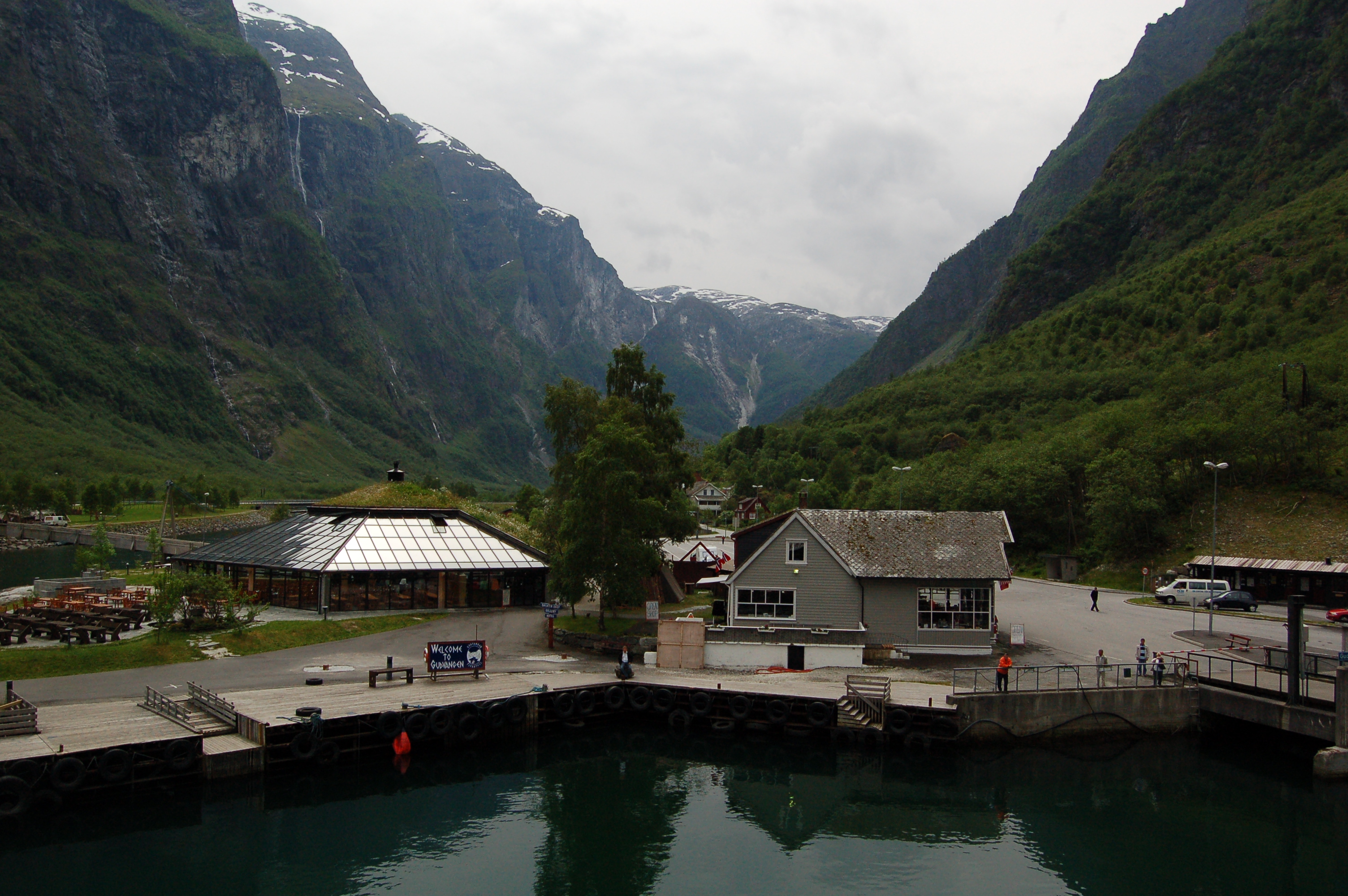 Looking towards Gudvangen from the fjord | |
 Gudvangen Location of the village  Gudvangen Gudvangen (Norway) | |
| Coordinates: 60.8777°N 6.8379°E | |
| Country | Norway |
| Region | Western Norway |
| County | Vestland |
| District | Sogn |
| Municipality | Aurland Municipality |
| Elevation | 6 m (20 ft) |
| Time zone | UTC+01:00 (CET) |
| • Summer (DST) | UTC+02:00 (CEST) |
| Post Code | 5747 Gundvangen |
Name
The name Gudvangen (Old Norse: Guðvangir) comes from the old farm name. The first element is gud meaning "god". The vang(en) refers to the open space in front of a place of worship like Aurlandsvangen and Vossevangen. In Gudvangen, there have been several places of worship since pre-Christian times.[3][4]
Media gallery
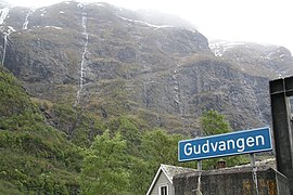 Gudvangen
 Cruise ship in Gudvangen
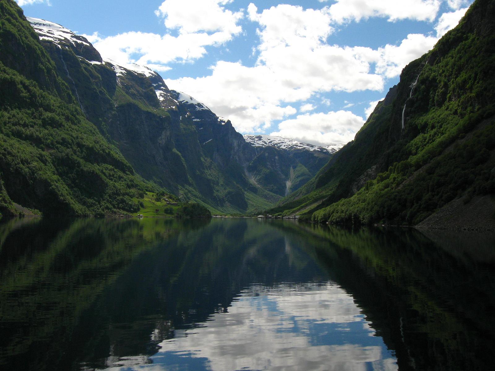
 Looking to Gudvangen from the fjord
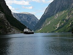 Ferry arriving at Gudvangen


References
- "Gudvangen, Aurland (Vestland)". yr.no. Retrieved 2020-01-25.
- Store norske leksikon. "Gudvangen" (in Norwegian). Retrieved 2010-09-05.
- Brekke, Arne. "Farms in Nærøy". Archived from the original on 13 February 2012. Retrieved 29 June 2008.
- Rygh, Oluf (1919). Norske gaardnavne: Nordre Bergenhus amt (in Norwegian) (12 ed.). Kristiania, Norge: W. C. Fabritius & sønners bogtrikkeri. p. 121.
This Vestland location article is a stub. You can help Wikipedia by expanding it. |
На других языках
- [en] Gudvangen
[ru] Гудванген
Гудванген — деревня в муниципалитете Эурланн в фюльке Согн-ог-Фьюране, Норвегия. Гудванген расположен в одном из норвежских внутренних фьордов — Нерёйфьорде и является популярным туристическим местом. Деревня расположена в узком ущелье и окружена крутыми скалами, поросшими лесом.Другой контент может иметь иную лицензию. Перед использованием материалов сайта WikiSort.org внимательно изучите правила лицензирования конкретных элементов наполнения сайта.
WikiSort.org - проект по пересортировке и дополнению контента Википедии