world.wikisort.org - Norway
Båtsfjord is the administrative centre of Båtsfjord Municipality in Troms og Finnmark county, Norway. The fishing village is located along the 13-kilometre (8.1 mi) long Båtsfjorden, an inlet from the Barents Sea, along the northern coast of the Varanger Peninsula. The village sits at the northern end of Norwegian County Road 891. The Båtsfjord Airport lies just south of the village. The Hurtigruten coastal express has regular stops at Båtsfjord.[3]

Båtsfjord | |
|---|---|
Village | |
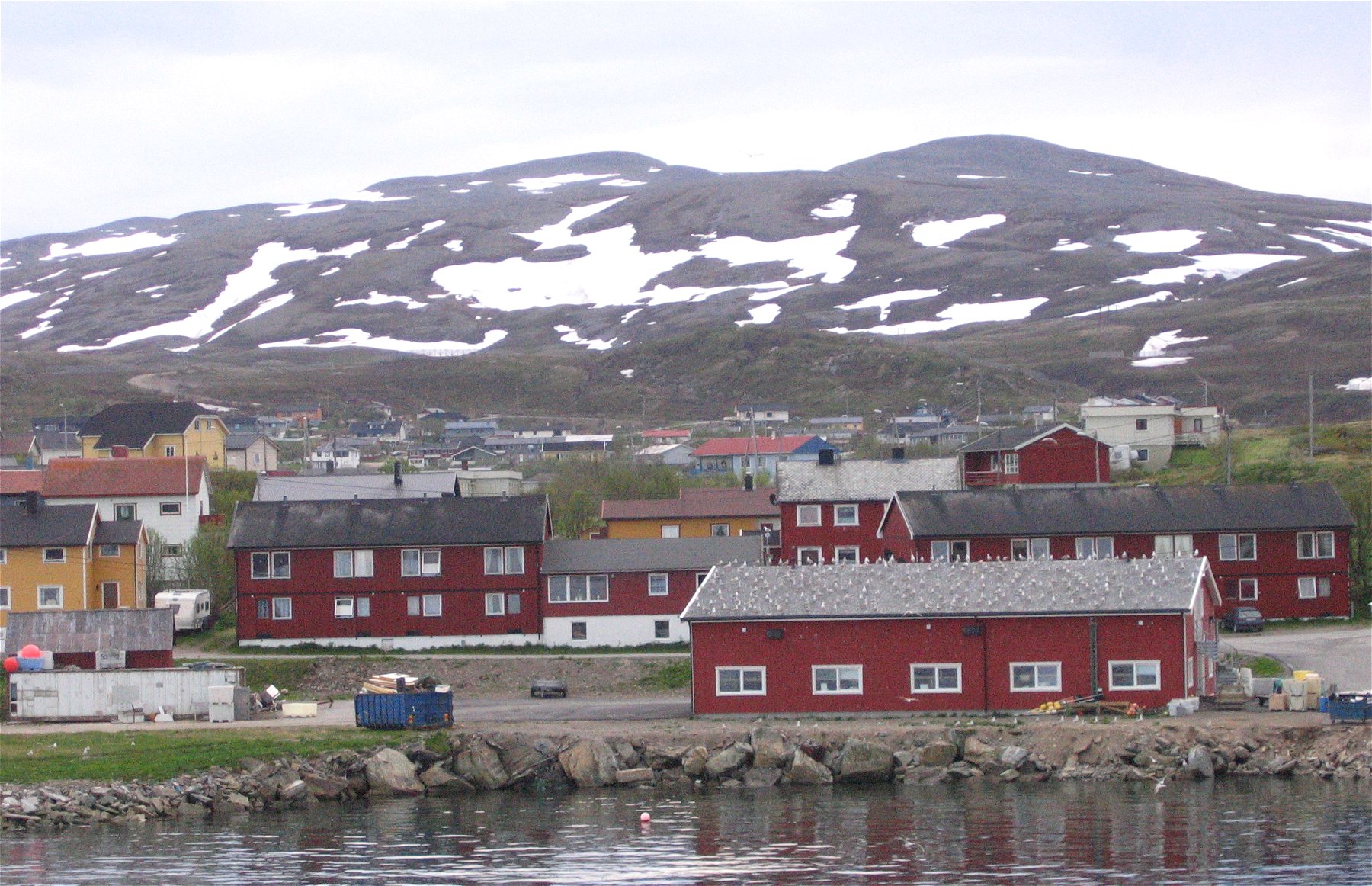 View of the village | |
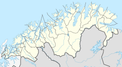 Båtsfjord Location in Finnmark  Båtsfjord Båtsfjord (Norway) | |
| Coordinates: 70°38′04″N 29°43′06″E | |
| Country | Norway |
| Region | Northern Norway |
| County | Troms og Finnmark |
| District | Øst-Finnmark |
| Municipality | Båtsfjord |
| Area | |
| • Total | 1.44 km2 (0.56 sq mi) |
| Elevation | 13 m (43 ft) |
| Population (2017)[1] | |
| • Total | 2,212 |
| • Density | 1,536/km2 (3,980/sq mi) |
| Time zone | UTC+01:00 (CET) |
| • Summer (DST) | UTC+02:00 (CEST) |
| Post Code | 9990 Båtsfjord |
The 1.44-square-kilometre (360-acre) village has a population (2017) of 2,212 which gives the village a population density of 1,536 inhabitants per square kilometre (3,980/sq mi).[1] The village is home to about 98% of all the residents in the entire municipality (there are 2,267 residents in Båtsfjord Municipality in 2017).[4]
Båtsfjord is one of the biggest fishing ports in Finnmark county with around 10,000 boat arrivals each year. The village also has a number of facilities for fish processing.
Båtsfjord has shopping facilities, a post office, a school, and Båtsfjord Church.
History
Historically, there were three whaling stations in Båtsfjord, but they are no longer in operation.[5][6]
References
- Statistisk sentralbyrå (1 January 2017). "Urban settlements. Population and area, by municipality".
- "Båtsfjord" (in Norwegian). yr.no. Retrieved 2013-02-27.
- Store norske leksikon. "Båtsfjord tettsted" (in Norwegian). Retrieved 2013-02-27.
- Statistisk sentralbyrå (2017). "Table: 06913: Population 1 January and population changes during the calendar year (M)" (in Norwegian). Retrieved 2017-11-01.
- https://digitaltmuseum.no/021016872886/bildet-er-tatt-fra-storholmen-av-haabet-hvalfangststasjon-i-batsfjord-bygget. "Bildet er tatt fra Storholmen, av Haabet hvalfangststasjon i Båtsfjord"
- https://digitaltmuseum.no/021016872882/svend-foyns-annlegg-i-batsfjord-bildet-er-tatt-pa-storholmen-i-batsfjord. "Svend Foyns annlegg i Båtsfjord. Bildet er tatt på Storholmen i Båtsfjord"
Authority control | |
|---|---|
| General |
|
| National libraries | |
This article about a location in Troms og Finnmark is a stub. You can help Wikipedia by expanding it. |
Другой контент может иметь иную лицензию. Перед использованием материалов сайта WikiSort.org внимательно изучите правила лицензирования конкретных элементов наполнения сайта.
WikiSort.org - проект по пересортировке и дополнению контента Википедии