world.wikisort.org - New_Zealand
Ōtāne is a town in the Central Hawke's Bay District and the Hawke's Bay region, on the east coast of New Zealand's North Island.[1] The small village, has a school, general store, cafe and pub, and is located just off State Highway 2.[2] The community had a population of 537 as of 2013[3] and 516 in 2018.[4]
Ōtāne | |
|---|---|
 Ōtāne | |
| Coordinates: 39°53′S 176°38′E | |
| Country | New Zealand |
| Region | Hawke's Bay |
| Territorial authority | Central Hawke's Bay District |
| Elevation | 95 m (312 ft) |
| Population | |
| • Total | 516 |
History
The town was founded in 1874, during a subdivision of Henry Tiffen's 5140-hectare Homewood farming estate. The first sales of Kaikora township sections were on 26 March 1874.[5] It became the centre of the Pātangata County from 1885 to 1977. The county took its name from a nearby Māori pā.[3]
Name
On 1 April 1910 the Post Department changed the name from Kaikora North to Otane,[6] to avoid confusion with Kaikōura.[7] The name of the railway station was changed a month later.[8] An 1869 advert mentioned Otane bush, Kaikora.[9]
In July 2020, the name of the locality was officially gazetted as Ōtāne by the New Zealand Geographic Board,[10] having previously often been written as Otane. The New Zealand Ministry for Culture and Heritage gives a translation of "place of a man" for Ōtāne.[11]

Library
Tenders for a new public library were invited in 1883[12] and it was open by 1884.[13] It was replaced in 1929 by a building which also contained council and medical offices.[14] It is now occupied by McCaulay's cafe and store.[15] A war memorial is next to the former library.[16]
Railway station
Initially the township was served by mail coaches running between Napier and Waipukurau.[17] Ōtāne (at that time Kaikora) railway station opened on Monday 28 August 1876, when the railway was extended from Te Aute to Waipawa.[18] as part of the Palmerston North–Gisborne Line. It was part of the Paki Paki to Waipukurau contract, tendered on 15 July 1874 for £19,532 by Charles McKirdy, of Wellington, who built the Rimutaka Incline and several other lines.[4] A local contractor tendered £29,173.[13] There were allegations of mismanagement[12] and disputes about the contracts.[14] However, in 1876, the Minister for Public Works, Edward Richardson, attributed delays only to unexpectedly heavy land claims and floods. S Tracey and Allen, of Napier, tendered £7,989 for track for the Paki Paki-Waipawa length in September 1875.[16] Ōtāne started with 2 trains a day in each direction,[15] increased to 3 in 1883[19] and 4 in 1896.[20]
By March 1876 Justin McSweeney had built a platform and station, McLeod & Co a 5th class stationmaster's house and Joseph Sowry a goods shed and water tank. In 1884 the station was enlarged and a loading ramp, cattle and sheep yards added. That station burnt down on 1 February 1894. By 1896 Kaikora had a 5th class station, platform (154 ft (47 m) long in 1926), cart approach, 40 ft (12 m) x 30 ft (9.1 m) goods shed, loading bank, cattle yards, stationmaster's house, urinals and a passing loop for 26 wagons. In 1940 the loop was extended for 80 wagons. There was a Post Office at the station from 1883 to 1912. In 1912 an automatic tablet exchanger was added. Railway houses were built in 1927, 1945 and 1953. In 1966 a new 500 sq ft (46 m2) station was built of concrete blocks, with an aluminium roof[8] on the same site.[21] On 9 October 1967 Ōtāne closed as an officered station and on 8 June 1985 it closed to all traffic.[8] Only a short platform remains.[22]
Education
Ōtāne School is a Year 1–8 co-educational state primary school.[24] It is a decile 3 school with a roll of 75 as of March 2022.[25][26]
Argyll East School is a Year 1–8 co-educational state primary school.[27] It is a decile 4 school with a roll of 72 as of March 2022.[25][28]
References
- Hariss, Gavin. "Otane, Hawke's Bay". topomap.co.nz. NZ Topo Map.
- "Otane official website". centralhawkesbay.co.nz. Central Hawke's Bay District Council.
- Pollock, Kerryn. "Otane". Te Ara - the Encyclopedia of New Zealand. Ministry for Culture and Heritage.
- "Census | 2018 | SA1 Dataset". datafinder.stats.govt.nz. Retrieved 31 July 2021.
{{cite web}}: CS1 maint: url-status (link) - "TELEGRAMS. NEW ZEALAND MAIL". paperspast.natlib.govt.nz. 28 March 1874. Retrieved 20 July 2021.
{{cite web}}: CS1 maint: url-status (link) - "Local and General. HASTINGS STANDARD". paperspast.natlib.govt.nz. 18 March 1910. Retrieved 20 July 2021.
{{cite web}}: CS1 maint: url-status (link) - "Re-naming Kaikora North. WAIPAWA MAIL". paperspast.natlib.govt.nz. 11 December 1909. Retrieved 19 July 2021.
{{cite web}}: CS1 maint: url-status (link) - "Station Archive". NZR Rolling Stock Lists. Retrieved 10 August 2020.
{{cite web}}: CS1 maint: url-status (link) - "HAWKE'S BAY HERALD". paperspast.natlib.govt.nz. 21 May 1869. Retrieved 20 July 2021.
{{cite web}}: CS1 maint: url-status (link) - "Notice of approved official geographic names" (PDF). New Zealand Gazette. 16 July 2020. Retrieved 25 July 2020.
- "1000 Māori place names". New Zealand Ministry for Culture and Heritage. 6 August 2019.
- "WAIPAWA MAIL". paperspast.natlib.govt.nz. 26 October 1883. Retrieved 31 July 2021.
{{cite web}}: CS1 maint: url-status (link) - "WAIPAWA MAIL". paperspast.natlib.govt.nz. 9 May 1884. Retrieved 31 July 2021.
{{cite web}}: CS1 maint: url-status (link) - "Otane's Day. WAIPAWA MAIL". paperspast.natlib.govt.nz. 20 May 1929. Retrieved 31 July 2021.
{{cite web}}: CS1 maint: url-status (link) - "Otane Country Fair". www.pressreader.com. 6 February 2021. Retrieved 31 July 2021.
{{cite web}}: CS1 maint: url-status (link) - "Otane war memorial". nzhistory.govt.nz. Retrieved 31 July 2021.
- "HAWKE'S BAY TIMES". paperspast.natlib.govt.nz. 23 January 1874. Retrieved 20 July 2021.
{{cite web}}: CS1 maint: url-status (link) - "Station Archive". NZR Rolling Stock Lists. Retrieved 10 August 2020.
{{cite web}}: CS1 maint: url-status (link) - "DAILY TELEGRAPH". paperspast.natlib.govt.nz. 9 January 1883. Retrieved 17 July 2021.
{{cite web}}: CS1 maint: url-status (link) - "RAILWAY TIME-TABLE. HASTINGS STANDARD". paperspast.natlib.govt.nz. 28 April 1896. Retrieved 16 July 2021.
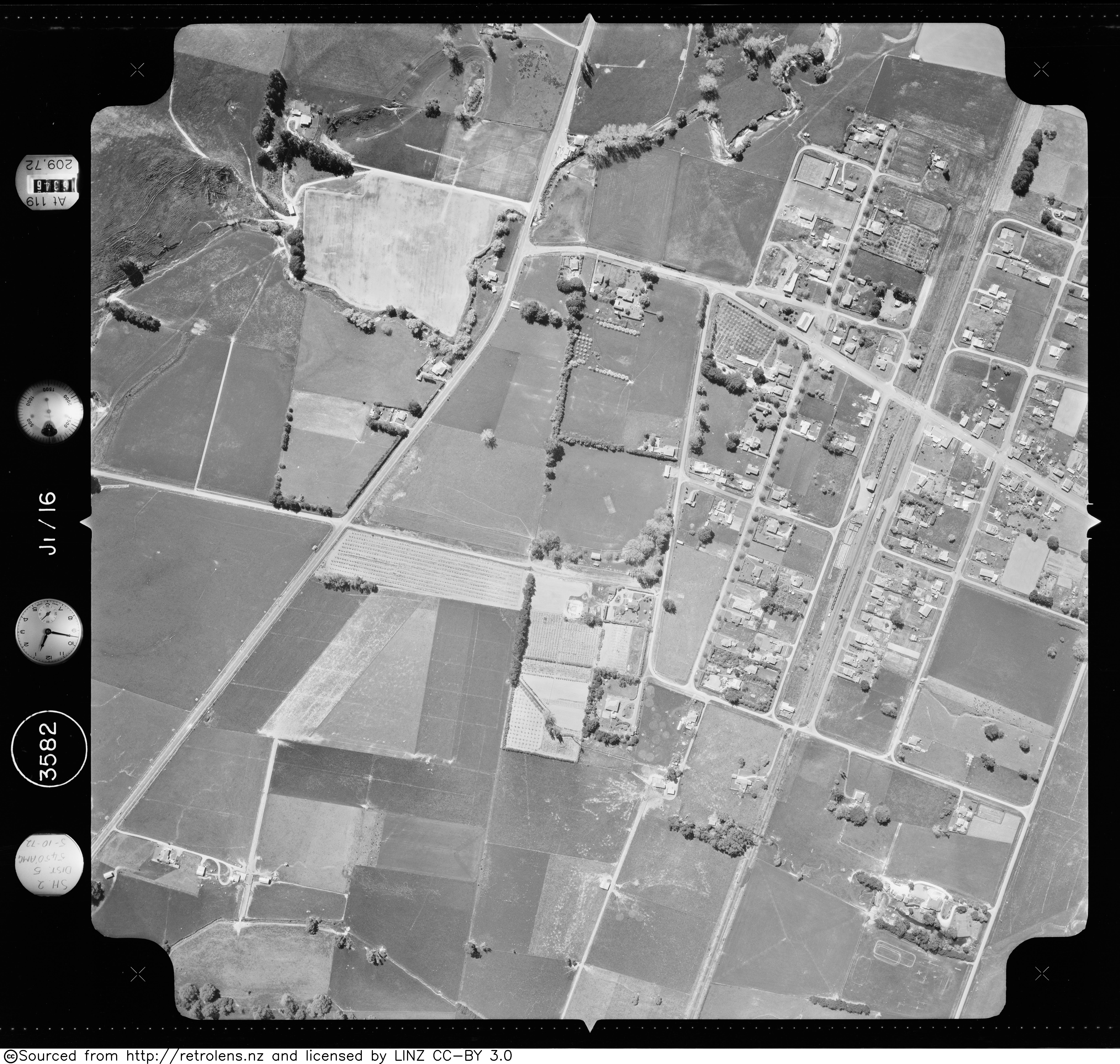
{{cite web}}: CS1 maint: url-status (link) - "Survey: SN3582 Run: J1 Photo: 16". Retrolens. 5 October 1972.
{{cite web}}: CS1 maint: url-status (link) - "Carruthers St". Google Maps. August 2013. Retrieved 20 July 2021.
{{cite web}}: CS1 maint: url-status (link) - Yonge, John Roger; Company, Quail Map (1993). New Zealand Railway and Tramway Atlas. Quail Map Company. ISBN 9780900609923.
- "Ministry of Education School Profile". educationcounts.govt.nz. Ministry of Education.
- "New Zealand Schools Directory". New Zealand Ministry of Education. Retrieved 23 April 2022.
- "Education Review Office Report". ero.govt.nz. Education Review Office.
- "Ministry of Education School Profile". educationcounts.govt.nz. Ministry of Education.
- "Education Review Office Report". ero.govt.nz. Education Review Office.
This Hawke's Bay Region geography article is a stub. You can help Wikipedia by expanding it. |
Другой контент может иметь иную лицензию. Перед использованием материалов сайта WikiSort.org внимательно изучите правила лицензирования конкретных элементов наполнения сайта.
WikiSort.org - проект по пересортировке и дополнению контента Википедии