world.wikisort.org - Pays-Bas
Wieringerwaard est un polder et un village situé dans la commune néerlandaise de Hollands Kroon, dans la province de la Hollande-Septentrionale. Le , le village comptait 2 316 habitants.
Cet article est une ébauche concernant une localité néerlandaise.
Vous pouvez partager vos connaissances en l’améliorant (comment ?) selon les recommandations des projets correspondants.
| Wieringerwaard | ||||
 Héraldique |
||||
| Administration | ||||
|---|---|---|---|---|
| Pays | ||||
| Commune | Hollands Kroon | |||
| Province | Hollande-Septentrionale | |||
| Code postal | 1766 | |||
| Indicatif téléphonique international | +(31) | |||
| Géographie | ||||
| Coordonnées | 52° 50′ 24″ nord, 4° 52′ 04″ est | |||
| Localisation | ||||
 Localisation de Wieringerwaard dans l'ancienne commune de Anna Paulowna | ||||
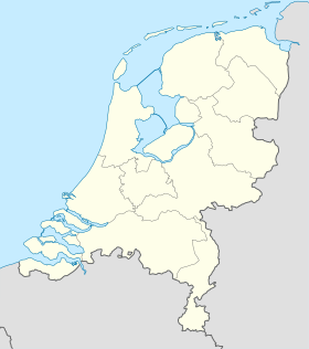
| Géolocalisation sur la carte : Pays-Bas
Géolocalisation sur la carte : Pays-Bas
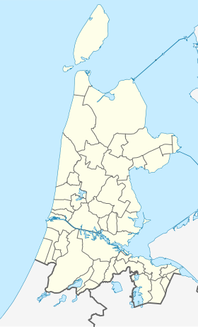
Géolocalisation sur la carte : Hollande-Septentrionale
| ||||
| modifier |
||||

Le , la commune de Wieringerwaard est rattachée à Barsingerhorn. Depuis 1990, le village fait partie de la commune d'Anna Paulowna.

 Portail des Pays-Bas
На других языках
[en] Wieringerwaard
Wieringerwaard is a polder and a village in the municipality of Hollands Kroon in the Dutch province of North Holland. Wieringerwaard was formerly a separate municipality, until it merged with Barsingerhorn in 1970.[3]- [fr] Wieringerwaard
Текст в блоке "Читать" взят с сайта "Википедия" и доступен по лицензии Creative Commons Attribution-ShareAlike; в отдельных случаях могут действовать дополнительные условия.
Другой контент может иметь иную лицензию. Перед использованием материалов сайта WikiSort.org внимательно изучите правила лицензирования конкретных элементов наполнения сайта.
Другой контент может иметь иную лицензию. Перед использованием материалов сайта WikiSort.org внимательно изучите правила лицензирования конкретных элементов наполнения сайта.
2019-2026
WikiSort.org - проект по пересортировке и дополнению контента Википедии
WikiSort.org - проект по пересортировке и дополнению контента Википедии