world.wikisort.org - Pays-Bas
Kruisstraat est un village situé dans la commune néerlandaise de Bois-le-Duc, dans la province du Brabant-Septentrional. En 2009, le village comptait 560 habitants.
 Portail des Pays-Bas
Cet article est une ébauche concernant une localité néerlandaise.
Vous pouvez partager vos connaissances en l’améliorant (comment ?) selon les recommandations des projets correspondants.
Pour les articles homonymes, voir Kruisstraat.
| Kruisstraat | ||||
 Héraldique |
||||
| Administration | ||||
|---|---|---|---|---|
| Pays | ||||
| Commune | Bois-le-Duc | |||
| Province | Brabant-Septentrional | |||
| Indicatif téléphonique international | +(31) | |||
| Démographie | ||||
| Population | 560 hab. (2009) | |||
| Géographie | ||||
| Coordonnées | 51° 43′ 54″ nord, 5° 23′ 40″ est | |||
| Localisation | ||||
| Géolocalisation sur la carte : Brabant-Septentrional
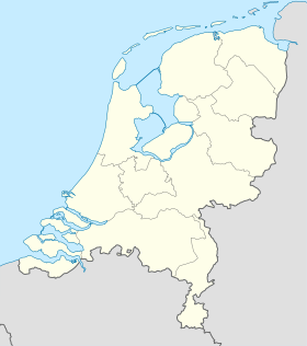
Géolocalisation sur la carte : Pays-Bas
Géolocalisation sur la carte : Pays-Bas
| ||||
| modifier |
||||


На других языках
[de] Kruisstraat
Kruisstraat ist ein landwirtschaftlich geprägtes Dorf im Osten der Gemeinde ’s-Hertogenbosch in der Provinz Noord-Brabant. Bis 1938 hatte Kruisstraat einen eigenen Bahnhof, den Bahnhof Kruisstraat. Das Dorf zählt 615 Einwohner (Stand: 1. Januar 2020).[1] Bis 1996 gehörte Kruisstraat zur ehemaligen Gemeinde Rosmalen.[en] Kruisstraat, 's-Hertogenbosch
Kruisstraat (Dutch pronunciation: [ˈkrœy̯straːt]) is a small Dutch settlement. It is located east of Rosmalen, in the municipality of 's-Hertogenbosch, and province of North Brabant.- [fr] Kruisstraat (Bois-le-Duc)
Текст в блоке "Читать" взят с сайта "Википедия" и доступен по лицензии Creative Commons Attribution-ShareAlike; в отдельных случаях могут действовать дополнительные условия.
Другой контент может иметь иную лицензию. Перед использованием материалов сайта WikiSort.org внимательно изучите правила лицензирования конкретных элементов наполнения сайта.
Другой контент может иметь иную лицензию. Перед использованием материалов сайта WikiSort.org внимательно изучите правила лицензирования конкретных элементов наполнения сайта.
2019-2025
WikiSort.org - проект по пересортировке и дополнению контента Википедии
WikiSort.org - проект по пересортировке и дополнению контента Википедии