world.wikisort.org - Pays-Bas
Kaatsheuvel (prononcé en néerlandais : [ˈkaːtsˌɦøːvəl]) est un village néerlandais situé dans la commune de Loon op Zand, dans la province du Brabant-Septentrional. En 2020, il compte 16 605 habitants.
| Kaatsheuvel | ||||
 Johannes de Doperkerk. | ||||
| Administration | ||||
|---|---|---|---|---|
| Pays | ||||
| Province | ||||
| Commune | ||||
| Code postal | 5170-5172 | |||
| Indicatif téléphonique international | +(31) | |||
| Démographie | ||||
| Population | 16 605 hab. (2020) | |||
| Géographie | ||||
| Coordonnées | 51° 39′ 23″ nord, 5° 01′ 49″ est | |||
| Localisation | ||||
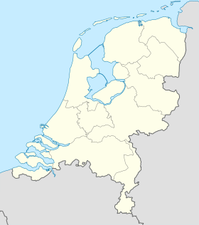
| Géolocalisation sur la carte : Pays-Bas
Géolocalisation sur la carte : Pays-Bas
Géolocalisation sur la carte : Brabant-Septentrional
| ||||
| modifier |
||||


Lieux et monuments
Le parc d'attractions Efteling, desservi par la route nationale 261, se trouve à Kaatsheuvel, tout comme l'hôtel de ville de Loon op Zand. Le village couvre une superficie de 22,3 km2, dont 0,13 km2 d'eau.
Articles connexes
- Efteling
- Loon op Zand
 Portail des Pays-Bas
На других языках
[en] Kaatsheuvel
Kaatsheuvel (Dutch pronunciation: [ˈkaːtsˌɦøːvəl]) is a village in the province of North Brabant, Netherlands situated along highways N261 and N628. With a population of roughly 16,600, it is the largest village in and the capital of the municipality of Loon op Zand, which also consists of the villages of De Moer and Loon op Zand.- [fr] Kaatsheuvel
Текст в блоке "Читать" взят с сайта "Википедия" и доступен по лицензии Creative Commons Attribution-ShareAlike; в отдельных случаях могут действовать дополнительные условия.
Другой контент может иметь иную лицензию. Перед использованием материалов сайта WikiSort.org внимательно изучите правила лицензирования конкретных элементов наполнения сайта.
Другой контент может иметь иную лицензию. Перед использованием материалов сайта WikiSort.org внимательно изучите правила лицензирования конкретных элементов наполнения сайта.
2019-2026
WikiSort.org - проект по пересортировке и дополнению контента Википедии
WikiSort.org - проект по пересортировке и дополнению контента Википедии