world.wikisort.org - Pays-Bas
Espel est un village dans l'ouest de la commune de Noordoostpolder, situé le long de la route provinciale qui mène d'Urk à Lemmer. Le village a été créé en 1956. Le , Espel comptait 1 374 habitants.
Cet article est une ébauche concernant une localité néerlandaise.
Vous pouvez partager vos connaissances en l’améliorant (comment ?) selon les recommandations des projets correspondants.
| Espel | ||||
 Héraldique |
||||
| Administration | ||||
|---|---|---|---|---|
| Pays | ||||
| Commune | Noordoostpolder | |||
| Province | Flevoland | |||
| Code postal | 8310-8311 | |||
| Indicatif téléphonique international | +(31) | |||
| Démographie | ||||
| Population | 1 374 hab. (2006) | |||
| Géographie | ||||
| Coordonnées | 52° 43′ 27″ nord, 5° 38′ 39″ est | |||
| Localisation | ||||
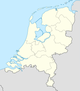
| Géolocalisation sur la carte : Pays-Bas
Géolocalisation sur la carte : Pays-Bas
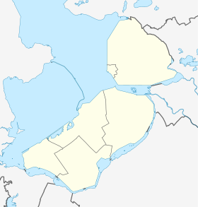
Géolocalisation sur la carte : Flevoland
| ||||
| modifier |
||||

Le village a quelques commerces, une église et un stade. Il existe un projet de création d'un musée des Tracteurs miniatures.
Notes et références
 Portail des Pays-Bas
На других языках
[en] Espel
Espel is one of the so-called green villages (Dutch: groendorpen) in the Dutch province of Flevoland. It lies in the municipality of Noordoostpolder next to a crossroads where provincial road N712 from Urk to Lemmer intersects with road N714 to Emmeloord, roughly 6 km to the east.- [fr] Espel
Текст в блоке "Читать" взят с сайта "Википедия" и доступен по лицензии Creative Commons Attribution-ShareAlike; в отдельных случаях могут действовать дополнительные условия.
Другой контент может иметь иную лицензию. Перед использованием материалов сайта WikiSort.org внимательно изучите правила лицензирования конкретных элементов наполнения сайта.
Другой контент может иметь иную лицензию. Перед использованием материалов сайта WikiSort.org внимательно изучите правила лицензирования конкретных элементов наполнения сайта.
2019-2026
WikiSort.org - проект по пересортировке и дополнению контента Википедии
WikiSort.org - проект по пересортировке и дополнению контента Википедии