world.wikisort.org - Pays-Bas
Dinxperlo est un village appartenant à la commune néerlandaise d'Aalten. En 2008, le village comptait 7 430 habitants.
Cet article est une ébauche concernant une localité néerlandaise.
Vous pouvez partager vos connaissances en l’améliorant (comment ?) selon les recommandations des projets correspondants.
| Dinxperlo | ||||
 Héraldique |
||||

| ||||
| Administration | ||||
|---|---|---|---|---|
| Pays | ||||
| Commune | Aalten | |||
| Province | Gueldre | |||
| Code postal | 7090-7091 | |||
| Indicatif téléphonique international | +(31) | |||
| Démographie | ||||
| Population | 7 430 hab. (2008) | |||
| Géographie | ||||
| Coordonnées | 51° 51′ 45″ nord, 6° 29′ 14″ est | |||
| Localisation | ||||
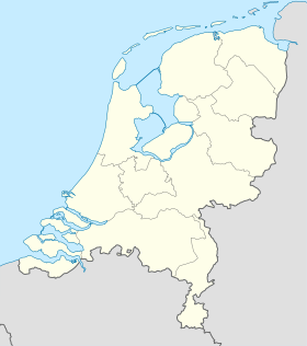
| Géolocalisation sur la carte : Gueldre
Géolocalisation sur la carte : Pays-Bas
Géolocalisation sur la carte : Pays-Bas
| ||||
| modifier |
||||


Jusqu'au , Dinxperlo était une commune indépendante. À cette date, la commune a été rattachée à la commune d'Aalten.
 Portail des Pays-Bas
На других языках
[de] Dinxperlo
Dinxperlo ist ein Ort im Osten der Niederlande. Er gehört zur Gemeinde Aalten in der Provinz Gelderland und liegt an der Grenze zum deutschen Bundesland Nordrhein-Westfalen.[en] Dinxperlo
Dinxperlo (Dutch: [ˈdɪŋkspərloː] (listen); Dutch Low Saxon: Dinsper) is a town and former municipality in the eastern Netherlands (Achterhoek region), situated directly at the Germany-Netherlands border.- [fr] Dinxperlo
Текст в блоке "Читать" взят с сайта "Википедия" и доступен по лицензии Creative Commons Attribution-ShareAlike; в отдельных случаях могут действовать дополнительные условия.
Другой контент может иметь иную лицензию. Перед использованием материалов сайта WikiSort.org внимательно изучите правила лицензирования конкретных элементов наполнения сайта.
Другой контент может иметь иную лицензию. Перед использованием материалов сайта WikiSort.org внимательно изучите правила лицензирования конкретных элементов наполнения сайта.
2019-2026
WikiSort.org - проект по пересортировке и дополнению контента Википедии
WikiSort.org - проект по пересортировке и дополнению контента Википедии