world.wikisort.org - Pays-Bas
Battenoord est un hameau dans la commune néerlandaise de Goeree-Overflakkee, dans la province de la Hollande-Méridionale.
Cet article est une ébauche concernant une localité néerlandaise.
Vous pouvez partager vos connaissances en l’améliorant (comment ?) selon les recommandations des projets correspondants.
| Battenoord | ||||
| Administration | ||||
|---|---|---|---|---|
| Pays | ||||
| Commune | Goeree-Overflakkee | |||
| Province | Hollande-Méridionale | |||
| Code postal | 3244 (Nieuwe-Tonge) | |||
| Indicatif téléphonique international | +(31) | |||
| Géographie | ||||
| Coordonnées | 51° 42′ 53″ nord, 4° 07′ 46″ est | |||
| Localisation | ||||
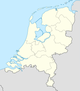
| Géolocalisation sur la carte : Hollande-Méridionale
Géolocalisation sur la carte : Pays-Bas
Géolocalisation sur la carte : Pays-Bas
| ||||
| modifier |
||||


Sommelsdijk est situé sur l'île de Goeree-Overflakkee, sur le Grevelingenmeer.
 Portail des Pays-Bas
На других языках
[en] Battenoord
Battenoord is a hamlet in the Dutch province of South Holland. It is a part of the municipality of Goeree-Overflakkee. It lies near the village of Herkingen, and on the northside of the Grevelingenmeer.- [fr] Battenoord
Текст в блоке "Читать" взят с сайта "Википедия" и доступен по лицензии Creative Commons Attribution-ShareAlike; в отдельных случаях могут действовать дополнительные условия.
Другой контент может иметь иную лицензию. Перед использованием материалов сайта WikiSort.org внимательно изучите правила лицензирования конкретных элементов наполнения сайта.
Другой контент может иметь иную лицензию. Перед использованием материалов сайта WikiSort.org внимательно изучите правила лицензирования конкретных элементов наполнения сайта.
2019-2025
WikiSort.org - проект по пересортировке и дополнению контента Википедии
WikiSort.org - проект по пересортировке и дополнению контента Википедии