world.wikisort.org - Netherlands
Velp is a Dutch village located east of Arnhem within the municipality of Rheden, between Arnhem, Rozendaal, and the town of Rheden.
Velp | |
|---|---|
Town | |
 360° Panorama, Main Street, Velp, The Netherlands. | |
 Velp Location in the province of Gelderland in the Netherlands  Velp Velp (Netherlands) | |
| Coordinates: 51°59′41″N 5°58′33″E | |
| Country | Netherlands |
| Province | Gelderland |
| Municipality | Rheden |
| Area | |
| • Total | 11.02 km2 (4.25 sq mi) |
| Elevation | 18 m (59 ft) |
| Population (2021)[1] | |
| • Total | 18,100 |
| • Density | 1,600/km2 (4,300/sq mi) |
| Time zone | UTC+1 (CET) |
| • Summer (DST) | UTC+2 (CEST) |
| Postal code | 6881-6883[1] |
| Dialing code | 026 |
| Major roads | A12 |
Velp was a separate municipality from 1812 to 1818, when it was merged with Rheden. The municipality also included the village of Rozendaal.[3]
Gallery
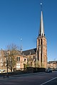 Church: Onze Lieve Vrouw Visitatiekerk
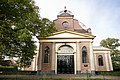 New Church, built 1841
 Palace "het Biljoen"
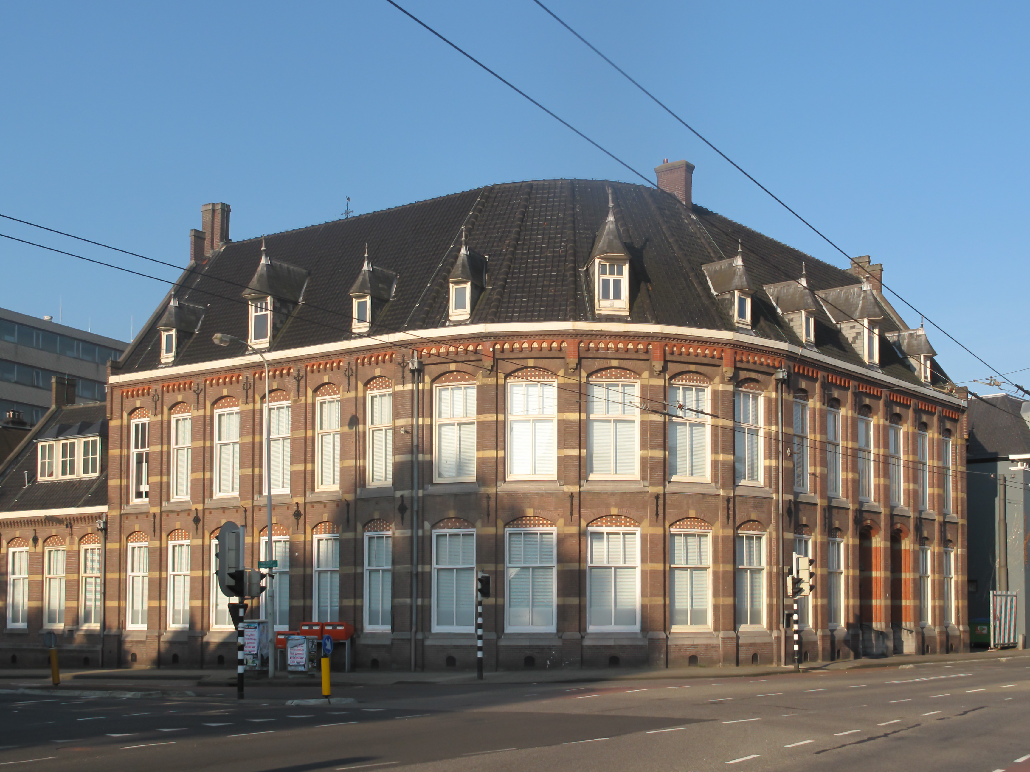
 Monumental office building on the Hoofdstraat
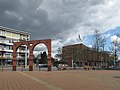 Street view (de Hoofdstraat)
 River IJssel near Velp
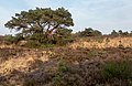 Veluwe near Velp, tree in the field at the Driesprong


Notable residents
- Jan Goossens, former American indoor soccer player.
- Ho-Pin Tung, Chinese-Dutch auto-racing driver
- René Klaassen, former field hockey defender
- Mina Kruseman, 19th-century feminist and author
- Ella van Heemstra, aristocrat and mother of Audrey Hepburn
- Audrey Hepburn, 20th-century actress and humanitarian
References
- "Kerncijfers wijken en buurten 2021". Central Bureau of Statistics. Retrieved 14 April 2022.
- "Postcodetool for 6881AA". Actueel Hoogtebestand Nederland (in Dutch). Het Waterschapshuis. Retrieved 14 April 2022.
- Ad van der Meer and Onno Boonstra, Repertorium van Nederlandse gemeenten, KNAW, 2011.
External links
 Media related to Velp, Gelderland at Wikimedia Commons
Authority control | |
|---|---|
| General |
|
| National libraries | |
| Other |
|
This Gelderland location article is a stub. You can help Wikipedia by expanding it. |
На других языках
- [en] Velp, Gelderland
[ru] Велп
Велп (нидерл. Velp) — город в общине Реден провинции Гелдерланд в восточных Нидерландах.Текст в блоке "Читать" взят с сайта "Википедия" и доступен по лицензии Creative Commons Attribution-ShareAlike; в отдельных случаях могут действовать дополнительные условия.
Другой контент может иметь иную лицензию. Перед использованием материалов сайта WikiSort.org внимательно изучите правила лицензирования конкретных элементов наполнения сайта.
Другой контент может иметь иную лицензию. Перед использованием материалов сайта WikiSort.org внимательно изучите правила лицензирования конкретных элементов наполнения сайта.
2019-2026
WikiSort.org - проект по пересортировке и дополнению контента Википедии
WikiSort.org - проект по пересортировке и дополнению контента Википедии