world.wikisort.org - Netherlands
Mill en Sint Hubert (Dutch pronunciation: [ˈmɪl ɛn sɪnt ˈɦybɛrt] (![]() listen)) is a former municipality in the province of North Brabant, the Netherlands.
listen)) is a former municipality in the province of North Brabant, the Netherlands.
Mill en Sint Hubert | |
|---|---|
Former municipality | |
 Church in Mill | |
 Flag  Coat of arms | |
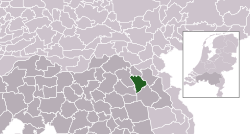 Location of the former municipality of Mill en Sint Hubert in North Brabant | |
| Coordinates: 51°41′N 5°47′E | |
| Country | Netherlands |
| Province | North Brabant |
| Municipality | Land van Cuijk |
| Area | |
| • Total | 53.17 km2 (20.53 sq mi) |
| • Land | 52.23 km2 (20.17 sq mi) |
| • Water | 0.94 km2 (0.36 sq mi) |
| Elevation | 17 m (56 ft) |
| Population (January 2019)[3] | |
| • Total | 10,891 |
| • Density | 209/km2 (540/sq mi) |
| Time zone | UTC+1 (CET) |
| • Summer (DST) | UTC+2 (CEST) |
| Postcode | 5450–5455 |
| Area code | 0485, 0486 |
| Website | www |
Mill en Sint Hubert, Boxmeer, Cuijk, Grave, and Sint Anthonis merged into the new municipality of Land van Cuijk on 1 January 2022.
Population centres
- Langenboom
- Mill
- Sint Hubert
- Wilbertoord
Topography

Map of the former municipality of Mill en Sint Hubert, 2015
Notable people
- Kees Bastiaans (1909 in Mill - 1986 in Mill) a Dutch Expressionist painter
- Reinout Oerlemans (born 1971 in Mill) a Dutch soap opera actor, film director, TV presenter and producer [4]
- Jochen Miller (born 1979 in Langenboom) a trance musician and progressive house DJ
- Janneke van Tienen (born 1979 in Mill) a volleyball player
Image gallery
 Aldendriel Castle
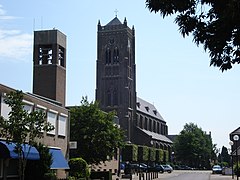 Church of Mill
 Heilmolen (mill)
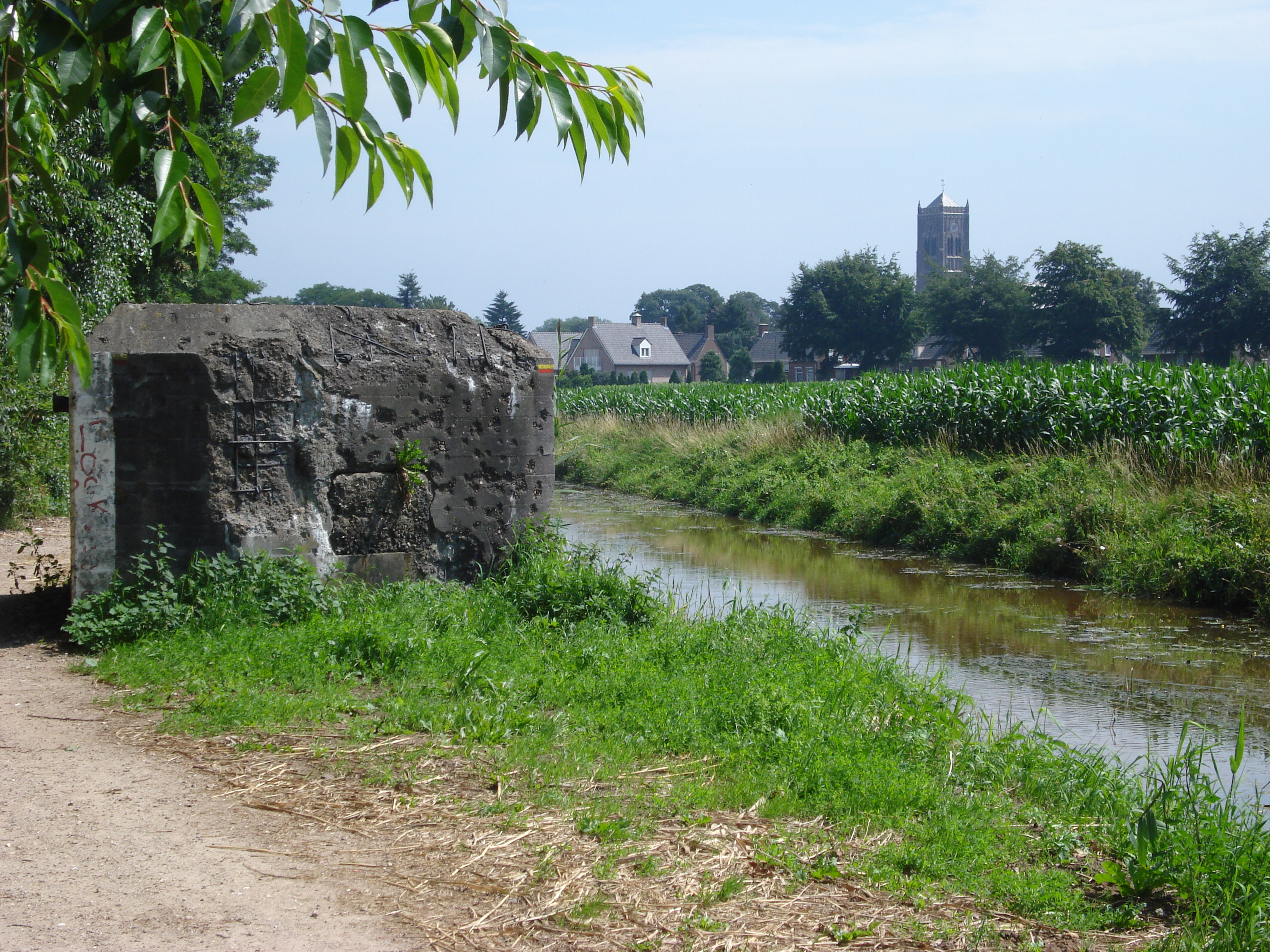
 Defence canal and bunker Peel-Raam Line


References
- "Kerncijfers wijken en buurten 2020" [Key figures for neighbourhoods 2020]. StatLine (in Dutch). CBS. 24 July 2020. Retrieved 19 September 2020.
- "Postcodetool for 5451BM". Actueel Hoogtebestand Nederland (in Dutch). Het Waterschapshuis. Archived from the original on 21 September 2013. Retrieved 21 April 2014.
- "Bevolkingsontwikkeling; regio per maand" [Population growth; regions per month]. CBS Statline (in Dutch). CBS. 1 January 2019. Retrieved 1 January 2019.
- IMDb Database retrieved 23 November 2019
External links
 Media related to Mill en Sint Hubert at Wikimedia Commons
- Official website
| Authority control |
|
|---|
This North Brabant location article is a stub. You can help Wikipedia by expanding it. |
На других языках
[de] Mill en Sint Hubert
Vorlage:Infobox Ort in den Niederlanden/Wartung/Typ falsch gesetzt- [en] Mill en Sint Hubert
Текст в блоке "Читать" взят с сайта "Википедия" и доступен по лицензии Creative Commons Attribution-ShareAlike; в отдельных случаях могут действовать дополнительные условия.
Другой контент может иметь иную лицензию. Перед использованием материалов сайта WikiSort.org внимательно изучите правила лицензирования конкретных элементов наполнения сайта.
Другой контент может иметь иную лицензию. Перед использованием материалов сайта WikiSort.org внимательно изучите правила лицензирования конкретных элементов наполнения сайта.
2019-2026
WikiSort.org - проект по пересортировке и дополнению контента Википедии
WikiSort.org - проект по пересортировке и дополнению контента Википедии