world.wikisort.org - Netherlands
Lemsterland (Dutch: [ˈlɛmstərˌlɑnt] (![]() listen); West Frisian: Lemsterlân) is a former municipality in the northern Netherlands. In 2014 it merged with the municipalities of Skarsterlân and Gaasterlân-Sleat to form the new municipality De Fryske Marren.
listen); West Frisian: Lemsterlân) is a former municipality in the northern Netherlands. In 2014 it merged with the municipalities of Skarsterlân and Gaasterlân-Sleat to form the new municipality De Fryske Marren.
Lemsterland
Lemsterlân | |
|---|---|
Former municipality | |
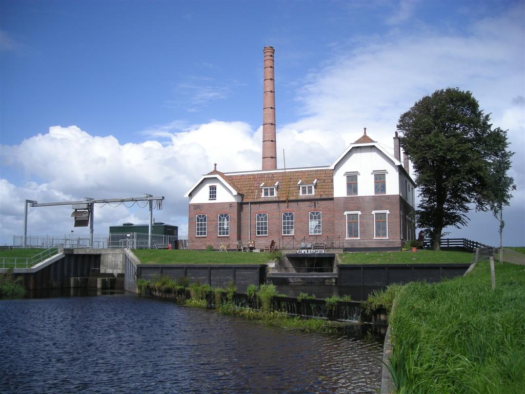 Pumping station in Echten | |
 Flag Coat of arms | |
 Location in Friesland | |
| Coordinates: 52°51′N 5°43′E | |
| Country | Netherlands |
| Province | Friesland |
| Dissolved | 1 January 2014[1] |
| Area | |
| • Total | 124.34 km2 (48.01 sq mi) |
| • Land | 75.93 km2 (29.32 sq mi) |
| • Water | 48.41 km2 (18.69 sq mi) |
| Elevation | 0 m (0 ft) |
| Population (November 2013)[4] | |
| • Total | 13,544 |
| • Density | 178/km2 (460/sq mi) |
| Time zone | UTC+1 (CET) |
| • Summer (DST) | UTC+2 (CEST) |
| Postcode | 8508, 8530–8539 |
| Area code | 0514 |
Population centres
- Bantega
- Delfstrahuizen
- Echten
- Echtenerbrug
- Eesterga
- Follega
- Lemmer
- Oosterzee
- Oosterzee-Buren
References
- "Gemeentelijke indeling op 1 januari 2014" [Municipal divisions on 1 January 2014]. cbs.nl (in Dutch). CBS. Retrieved 10 January 2014.
- "Kerncijfers wijken en buurten" [Key figures for neighbourhoods]. CBS Statline (in Dutch). CBS. 2 July 2013. Retrieved 11 July 2013.
- "Postcodetool for 8531ED". Actueel Hoogtebestand Nederland (in Dutch). Het Waterschapshuis. Archived from the original on 21 September 2013. Retrieved 21 September 2013.
- "Bevolkingsontwikkeling; regio per maand" [Population growth; regions per month]. CBS Statline (in Dutch). CBS. 23 December 2013. Retrieved 20 January 2014.
External links
 Media related to Lemsterland at Wikimedia Commons
Neighbouring municipalities at time of dissolution | ||||||||||||||||
|---|---|---|---|---|---|---|---|---|---|---|---|---|---|---|---|---|
| ||||||||||||||||
This Friesland location article is a stub. You can help Wikipedia by expanding it. |
Текст в блоке "Читать" взят с сайта "Википедия" и доступен по лицензии Creative Commons Attribution-ShareAlike; в отдельных случаях могут действовать дополнительные условия.
Другой контент может иметь иную лицензию. Перед использованием материалов сайта WikiSort.org внимательно изучите правила лицензирования конкретных элементов наполнения сайта.
Другой контент может иметь иную лицензию. Перед использованием материалов сайта WikiSort.org внимательно изучите правила лицензирования конкретных элементов наполнения сайта.
2019-2026
WikiSort.org - проект по пересортировке и дополнению контента Википедии
WikiSort.org - проект по пересортировке и дополнению контента Википедии