world.wikisort.org - Netherlands
Hierden is a farming village in the centre-east of Netherlands. It is located in the municipality of Harderwijk, Gelderland.
Hierden | |
|---|---|
Village | |
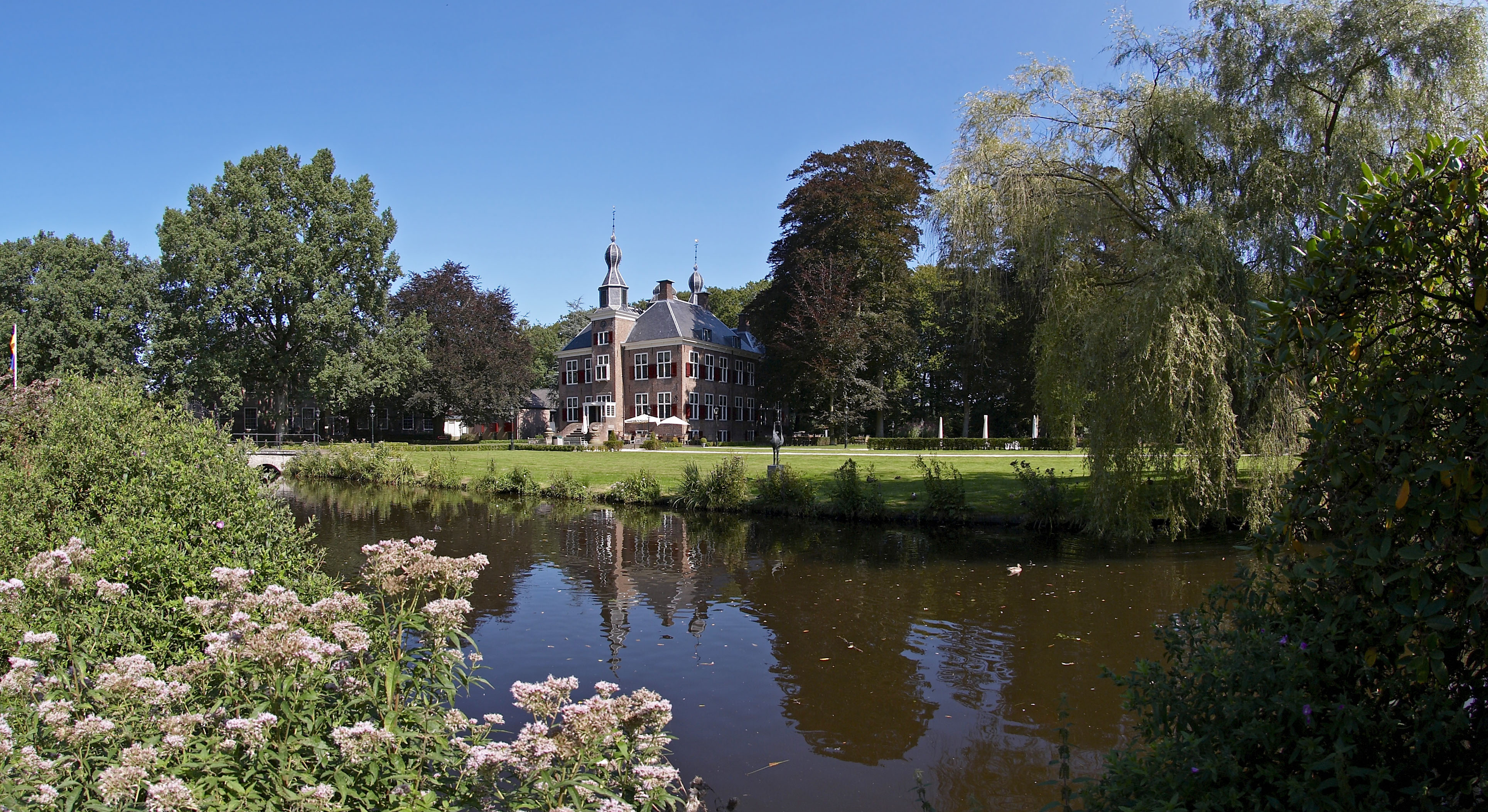 Estate Essenburgh | |
 Hierden Location in the Netherlands  Hierden Hierden (Netherlands) | |
| Coordinates: 52°21′N 5°40′E | |
| Country | Netherlands |
| Province | Gelderland |
| Municipality | Harderwijk |
| Area | |
| • Total | 9.36 km2 (3.61 sq mi) |
| Elevation | 4 m (13 ft) |
| Population (2021)[1] | |
| • Total | 3,240 |
| • Density | 350/km2 (900/sq mi) |
| Time zone | UTC+1 (CET) |
| • Summer (DST) | UTC+2 (CEST) |
| Postal code | 3849[1] |
| Dialing code | 0341 |
It was first mentioned 1331 as Heyrde and means "solid underground".[3] The first church was built in the 17th century. The current church dates from 1880. Groot Essenburg is a manor house which was built in 1652 and modified in 1767 and 1929.[4] In 1840, it was home to 957 people.[5]
Gallery
 Farm in Hierden
 Farm in Hierden


References
- "Kerncijfers wijken en buurten 2021". Central Bureau of Statistics. Retrieved 22 March 2022.
Stats are for Duiven only
- "Postcodetool for 3849AA". Actueel Hoogtebestand Nederland (in Dutch). Het Waterschapshuis. Retrieved 22 March 2022.
- "Hierden - (geografische naam)". Etymologiebank (in Dutch). Retrieved 22 March 2022.
- Ronald Stenvert & Sabine Broekhoven (2000). "Hierden" (in Dutch). Zwolle: Waanders. p. 204. ISBN 90 400 9406 3. Retrieved 22 March 2022.
- "Hierden". Plaatsengids (in Dutch). Retrieved 22 March 2022.
Authority control | |
|---|---|
| General |
|
| National libraries | |
This Gelderland location article is a stub. You can help Wikipedia by expanding it. |
Текст в блоке "Читать" взят с сайта "Википедия" и доступен по лицензии Creative Commons Attribution-ShareAlike; в отдельных случаях могут действовать дополнительные условия.
Другой контент может иметь иную лицензию. Перед использованием материалов сайта WikiSort.org внимательно изучите правила лицензирования конкретных элементов наполнения сайта.
Другой контент может иметь иную лицензию. Перед использованием материалов сайта WikiSort.org внимательно изучите правила лицензирования конкретных элементов наполнения сайта.
2019-2026
WikiSort.org - проект по пересортировке и дополнению контента Википедии
WikiSort.org - проект по пересортировке и дополнению контента Википедии