world.wikisort.org - Netherlands
Franekeradeel (Dutch pronunciation: [ˈfraːnəkəraːˌdeːl] (![]() listen); West Frisian: Frentsjerteradiel) is a former municipality in the northern Netherlands. It was created in 1984 by combining an earlier Franekeradeel municipality with the city of Franeker and parts of the former municipality of Barradeel. On 1 January 2018 it merged with the municipalities of het Bildt, Menameradiel and parts of Littenseradiel to form the new municipality Waadhoeke.
listen); West Frisian: Frentsjerteradiel) is a former municipality in the northern Netherlands. It was created in 1984 by combining an earlier Franekeradeel municipality with the city of Franeker and parts of the former municipality of Barradeel. On 1 January 2018 it merged with the municipalities of het Bildt, Menameradiel and parts of Littenseradiel to form the new municipality Waadhoeke.
Franekeradeel
Frentsjerteradiel | |
|---|---|
Former municipality | |
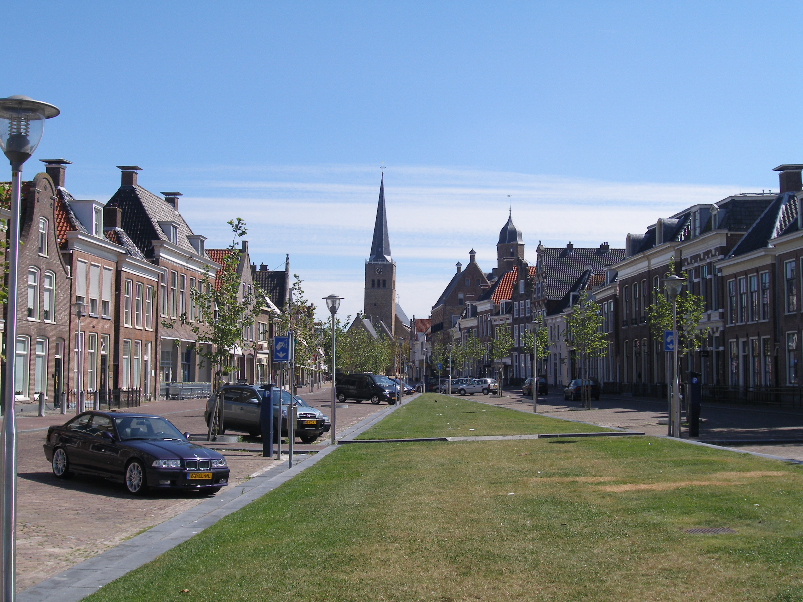 City of Franeker | |
 Flag  Coat of arms | |
 Location in Friesland | |
| Coordinates: 53°11′N 5°32′E | |
| Country | Netherlands |
| Province | Friesland |
| Municipality | Waadhoeke |
| Area | |
| • Total | 109.17 km2 (42.15 sq mi) |
| • Land | 102.73 km2 (39.66 sq mi) |
| • Water | 6.44 km2 (2.49 sq mi) |
| Elevation | 1 m (3 ft) |
| Time zone | UTC+1 (CET) |
| • Summer (DST) | UTC+2 (CEST) |
| Postcode | 8800–8814, 8850–8859 |
| Area code | 0517, 0518 |
| Website | www |
Population centres
Achlum, Boer, Dongjum, Firdgum, Franeker, Herbaijum, Hitzum, Klooster-Lidlum, Oosterbierum, Peins, Pietersbierum, Ried, Schalsum, Sexbierum, Tzum, Tzummarum, Zweins.
Topography

Dutch Topographic map of the former municipality of Franekeradeel, June 2015
References
- "Kerncijfers wijken en buurten 2020" [Key figures for neighbourhoods 2020]. StatLine (in Dutch). CBS. 24 July 2020. Retrieved 19 September 2020.
- "Postcodetool for 8801PA". Actueel Hoogtebestand Nederland (in Dutch). Het Waterschapshuis. Archived from the original on 21 September 2013. Retrieved 9 September 2013.
External links
![]() Media related to Franekeradeel at Wikimedia Commons
Media related to Franekeradeel at Wikimedia Commons
Neighbouring municipalities at time of dissolution | ||||||||||||||||
|---|---|---|---|---|---|---|---|---|---|---|---|---|---|---|---|---|
| ||||||||||||||||
Authority control | |
|---|---|
| General | |
| National libraries | |
| Other |
|
This Friesland location article is a stub. You can help Wikipedia by expanding it. |
Другой контент может иметь иную лицензию. Перед использованием материалов сайта WikiSort.org внимательно изучите правила лицензирования конкретных элементов наполнения сайта.
WikiSort.org - проект по пересортировке и дополнению контента Википедии