world.wikisort.org - Netherlands
Brakel is a village in the Dutch province of Gelderland. It is a part of the municipality of Zaltbommel, and lies about 8 km east of Gorinchem.
Brakel | |
|---|---|
Village | |
 't Huis te Brakel | |
 Flag  Coat of arms | |
 Brakel Location in the Netherlands  Brakel Brakel (Netherlands) | |
| Coordinates: 51°49′N 5°5′E | |
| Country | Netherlands |
| Province | Gelderland |
| Municipality | Zaltbommel |
| Area | |
| • Total | 10.40 km2 (4.02 sq mi) |
| Elevation | 5 m (16 ft) |
| Population (2021)[1] | |
| • Total | 3,050 |
| • Density | 290/km2 (760/sq mi) |
| Time zone | UTC+1 (CET) |
| • Summer (DST) | UTC+2 (CEST) |
| Postal code | 5306 |
| Dialing code | 0418 |
Brakel was a separate municipality until 1999, when it became a part of Zaltbommel.[3]
History
It was first mentioned in 1212 as Brakel. The etymology is unclear.[4] Brakel developed into an irregular esdorp. Later it became a linear dike village. The Protestant Church dates from the 15th century and has 14th century elements. The tower was severely damaged in 1944, and restored in 1950.[5]
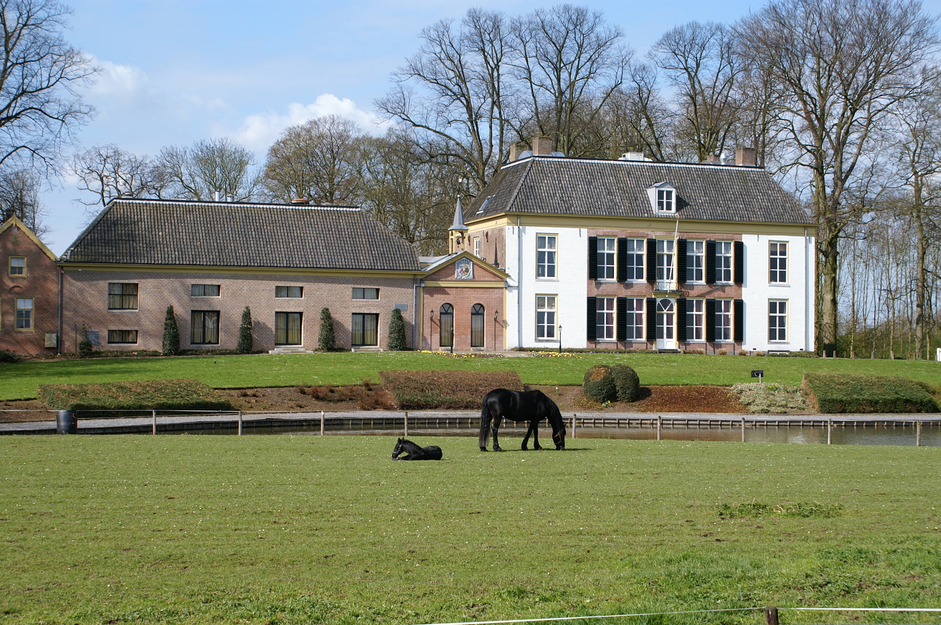
Slot Brakel was a castle from the 13th century. It was destroyed in 1672 by the French. In 1768, Huis te Brakel was built on the grounds of the former castle, and the centre still contains the ruins of the medieval castle as part of a garden.[6][5] In 1840, it was home to 1,096 people.[6]
Gallery
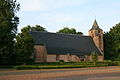 Protestant church
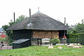 Haystack
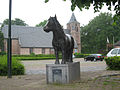 Pony statue
 Former artillery battery


References
- "Kerncijfers wijken en buurten 2021". Central Bureau of Statistics. Retrieved 25 March 2022.
two entries
- "Postcodetool for 5306AA". Actueel Hoogtebestand Nederland (in Dutch). Het Waterschapshuis. Retrieved 25 March 2022.
- Ad van der Meer and Onno Boonstra, Repertorium van Nederlandse gemeenten, KNAW, 2011.
- "Brakel - (geografische naam)". Etymologiebank (in Dutch). Retrieved 25 March 2022.
- Ronald Stenvert & Sabine Broekhoven (2000). "Brakel" (in Dutch). Zwolle: Waanders. ISBN 90 400 9406 3. Retrieved 25 March 2022.
- "Brakel". Plaatsengids (in Dutch). Retrieved 25 March 2022.
This Gelderland location article is a stub. You can help Wikipedia by expanding it. |
Другой контент может иметь иную лицензию. Перед использованием материалов сайта WikiSort.org внимательно изучите правила лицензирования конкретных элементов наполнения сайта.
WikiSort.org - проект по пересортировке и дополнению контента Википедии