 Kali Gandaki River at Kagbeni, Mustang
 Nilgri North from Kagbeni, Mustang
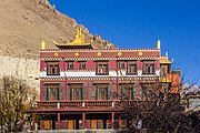 Kag chode, new Buddhist Temple at Kagbeni, Mustang
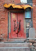 Door of old temple
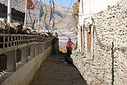 Alleyway
 Bulls in Kagbeni
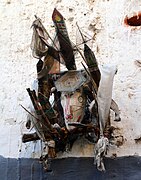 Ghost trap
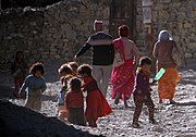 People of Kagbeni
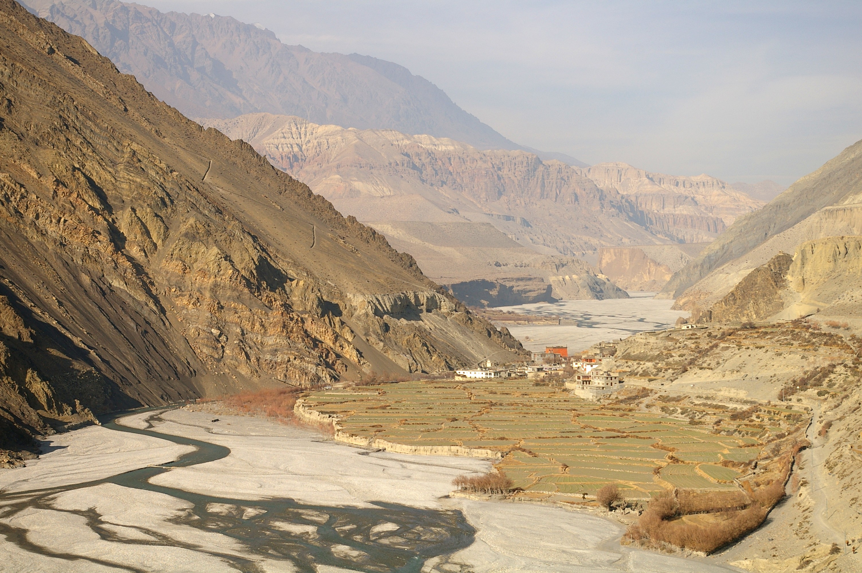
 Rice fields
world.wikisort.org - Nepal
Kagbeni is a village in the Baragubg Muktikshetra rural municipality of Mustang District (Upper Mustang) of the Himalayas, in Nepal, located in the valley of the Kali Gandaki River. At the time of the 2011 Nepal census it had a population of 555 people.[1] It lies on the trail from Jomsom to the royal capital Lo Manthang, near the junction with the trail to Muktinath. Kagbeni is also regarded as one of the oldest villages in the Himalayas.
Kagbeni
कागबेनी | |
|---|---|
Incorporated village | |
 Panoramic view of Kagbeni village | |
 Kagbeni Location in the province  Kagbeni Kagbeni (Nepal) | |
| Coordinates: 28°50′12″N 83°46′59″E | |
| Country | |
| District | Mustang |
| Rural municipality | Baragung Muktichhetra |
| Part of (wards) | ward no. 4 |
| Established | 2017 |
| Government | |
| • Type | Ward council |
| • ward councillor | Mr. Tenzing Nagyal Gurung |
| Area | |
| • Total | 58.3 km2 (22.5 sq mi) |
| Elevation | 2,804 m (9,199 ft) |
| Population (2011) | |
| • Total | 555 |
| • Density | 9.5/km2 (25/sq mi) |
| Time zone | UTC+5:45 (Nepal Time) |
| Website | varagungmuktichhetramun |
Gallery
Kagbeni, Mustang scenes


See also
- Jomsom Airport
- Kali Gandaki River
- Mustang District
- Upper Mustang
References
- वडा नम्बर ४ कागबेनी | वारागुङ मुक्तिक्षेत्र गाउँपालिका, गाउँ कार्यपालिकाको कार्यालय, Baragung Muktichhetra, retrieved 16 October 2020
External links
Mustang District | ||
|---|---|---|
Headquarters: Jomsom (today part of Gharpajhong Rural Municipality) | ||
| Rural municipalities |
|  |
Wikimedia Commons has media related to Kagbeni.
This article about a location in the Mustang District of Nepal is a stub. You can help Wikipedia by expanding it. |
На других языках
- [en] Kagbeni, Mustang
[ru] Кагбени
Кагбени (непальск. कागबेनी) — деревня и община в Непале в административном районе Мустанг.Текст в блоке "Читать" взят с сайта "Википедия" и доступен по лицензии Creative Commons Attribution-ShareAlike; в отдельных случаях могут действовать дополнительные условия.
Другой контент может иметь иную лицензию. Перед использованием материалов сайта WikiSort.org внимательно изучите правила лицензирования конкретных элементов наполнения сайта.
Другой контент может иметь иную лицензию. Перед использованием материалов сайта WikiSort.org внимательно изучите правила лицензирования конкретных элементов наполнения сайта.
2019-2025
WikiSort.org - проект по пересортировке и дополнению контента Википедии
WikiSort.org - проект по пересортировке и дополнению контента Википедии