world.wikisort.org - Nepal
Change is a village development committee in the Himalayas of Taplejung District in the Province No. 1 of north-eastern Nepal. At the time of the 2011 Nepal census it had a population of 4034 people living in 861 individual households.[1]
Change
चाँगे गाविस | |
|---|---|
Village development committee | |
| Country | |
| Province | Province No. 1 |
| District | Taplejung District |
| Population (1991) | |
| • Total | 4,487 |
| Time zone | UTC+5:45 (Nepal Time) |
| Postal code | 57511 |
| Area code(s) | 024 |
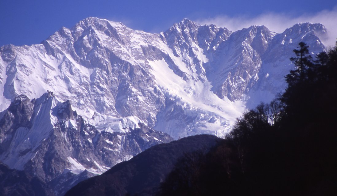
This Village Development Committee (now changed to Gaun Palika, गाँऊ पालिका)[citation needed] is mainly inhabited by Limbu and Mongolian ethnic groups, more specifically Angbuhang, an indigenous tribe.[citation needed] This VDC produces cash crops like oranges, cardamom and tobacco.[citation needed] West/south to North/east orientation of land and south facing slope has provided opportunity to get more sunny hours.[citation needed] Change has the hiking route (now being introduced as a rhododendron hiking trail) Taplejung-Gorja-Basantapur, which passes from the middle along its length.[citation needed]
References
- "Nepal Census 2011". Nepal's Village Development Committees. Digital Himalaya. Archived from the original on 12 October 2008. Retrieved 19 November 2008.
External links
Taplejung District | |||
|---|---|---|---|
Headquarters: Phungling Municipality | |||
 | Rural Municipalities |
|  |
| Municipalities |
| ||
This article about a location in the Taplejung District of Nepal is a stub. You can help Wikipedia by expanding it. |
Другой контент может иметь иную лицензию. Перед использованием материалов сайта WikiSort.org внимательно изучите правила лицензирования конкретных элементов наполнения сайта.
WikiSort.org - проект по пересортировке и дополнению контента Википедии