world.wikisort.org - Mexico
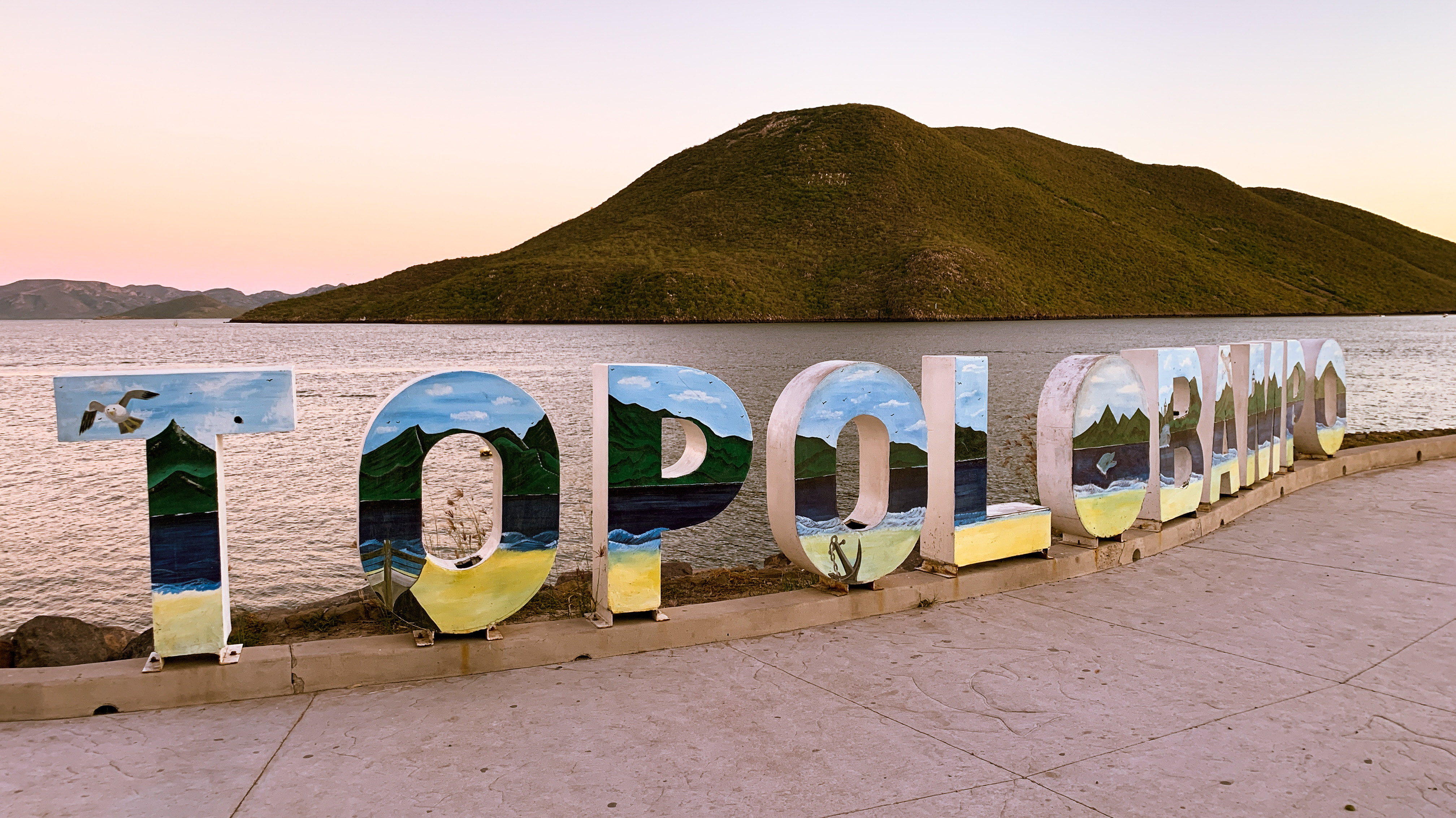
Topolobampo (Spanish pronunciation: [topoloˈβampo]) is a port on the Gulf of California in northwestern Sinaloa, Mexico. It is the fourth-largest town in the municipality of Ahome (after Los Mochis, Ahome, and Higuera de Zaragoza), reporting a 2010 census population of 6,361 inhabitants.
Topolobampo | |
|---|---|
 | |
 Seal | |
| Nickname(s): Topo | |
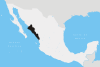
 Topolobampo Location in Mexico Topolobampo Topolobampo (Mexico) | |
| Coordinates: 25°36′20″N 109°03′0″W | |
| Country | |
| State | Sinaloa |
| Municipality | Ahome |
| Founded in | 1884 |
| Founded by | Albert K. Owen |
| Elevation | 10 m (30 ft) |
| Population (2010) | |
| • Total | 6,361 |
| [1] | |
| Time zone | UTC-7 (Pacific Time zone) |
| • Summer (DST) | UTC-6 (Pacific Daylight Time) |
| Website | Official page |
The port connects the northern Mexican states through the Chihuahua-Pacific Railroad, which has a terminus in nearby Los Mochis. It is the eastern port for the daily car ferry connecting to La Paz in Baja California Sur.
Topolobampo is also the beginning of the international trade corridor, "La Entrada al Pacifico", that ends near the Midland-Odessa, Texas area.
History
Topolobampo was the site of a Radical "utopian" colony inspired by Henry George's economic ideas. The experiment had an influence on the urban planning ideas of Ebenezer Howard.
That utopian group published a newsletter in English, The Credit Foncier of Sinaloa in Topolobampo. The masthead says "Collective ownership and management for public utilities and conveniences - the community responsible for the health, usefulness, individuality and security of each. - Albert K. Owen." Two pages of one edition (vol. 4, no. 24, September 1, 1889, whole no. 161), has been preserved at Western Reserve Historical Society in Cleveland, Ohio, pasted into a Wallace Cathcart scrapbook on Shakers. Those two pages include an article on the Tyringham, Massachusetts Shakers and correspondence from several prospective members. Evidently the fledgling group hoped to use the reminiscences of Julia Johnson, a former Shaker, to market the concept of a communal society to prospective members.[2]
Climate
Topolobampo has a tropical arid desert climate.
| Climate data for Topolobampo (1951–2010) | |||||||||||||
|---|---|---|---|---|---|---|---|---|---|---|---|---|---|
| Month | Jan | Feb | Mar | Apr | May | Jun | Jul | Aug | Sep | Oct | Nov | Dec | Year |
| Record high °C (°F) | 39.0 (102.2) |
39.0 (102.2) |
38.0 (100.4) |
38.0 (100.4) |
39.0 (102.2) |
40.0 (104.0) |
41.0 (105.8) |
43.5 (110.3) |
41.0 (105.8) |
43.0 (109.4) |
38.5 (101.3) |
37.0 (98.6) |
43.5 (110.3) |
| Average high °C (°F) | 24.8 (76.6) |
25.8 (78.4) |
27.5 (81.5) |
29.6 (85.3) |
32.0 (89.6) |
34.1 (93.4) |
35.0 (95.0) |
34.8 (94.6) |
34.2 (93.6) |
32.9 (91.2) |
29.3 (84.7) |
25.6 (78.1) |
30.5 (86.9) |
| Daily mean °C (°F) | 19.2 (66.6) |
20.1 (68.2) |
21.7 (71.1) |
23.9 (75.0) |
26.5 (79.7) |
29.5 (85.1) |
30.6 (87.1) |
30.4 (86.7) |
29.9 (85.8) |
28.1 (82.6) |
24.0 (75.2) |
20.4 (68.7) |
25.4 (77.7) |
| Average low °C (°F) | 13.7 (56.7) |
14.4 (57.9) |
16.0 (60.8) |
18.2 (64.8) |
21.0 (69.8) |
24.9 (76.8) |
26.2 (79.2) |
25.9 (78.6) |
25.6 (78.1) |
23.3 (73.9) |
18.7 (65.7) |
15.2 (59.4) |
20.3 (68.5) |
| Record low °C (°F) | 5.0 (41.0) |
8.0 (46.4) |
9.0 (48.2) |
11.0 (51.8) |
12.0 (53.6) |
17.0 (62.6) |
20.0 (68.0) |
18.0 (64.4) |
15.0 (59.0) |
14.0 (57.2) |
11.0 (51.8) |
5.5 (41.9) |
5.0 (41.0) |
| Average precipitation mm (inches) | 12.1 (0.48) |
3.8 (0.15) |
0.6 (0.02) |
0.0 (0.0) |
0.8 (0.03) |
1.9 (0.07) |
57.7 (2.27) |
96.1 (3.78) |
66.6 (2.62) |
31.9 (1.26) |
19.0 (0.75) |
22.1 (0.87) |
312.6 (12.31) |
| Average precipitation days (≥ 0.1 mm) | 1.3 | 0.7 | 0.2 | 0.0 | 0.1 | 0.2 | 3.8 | 5.4 | 3.9 | 1.9 | 1.1 | 1.4 | 20.0 |
| Source: Servicio Meteorologico Nacional[3][4] | |||||||||||||
The sea experiences lows of 19 - 20 °C during the winter months, and highs of 29 - 31 °C during the summer months.[5]
| Jan | Feb | Mar | Apr | May | Jun | Jul | Aug | Sep | Oct | Nov | Dec |
|---|---|---|---|---|---|---|---|---|---|---|---|
| 20 °C
68 °F |
19 °C
66 °F |
20 °C
68 °F |
22 °C
72 °F |
25 °C
77 °F |
27 °C
81 °F |
29 °C
85 °F |
31 °C
88 °F |
31 °C
88 °F |
29 °C
84 °F |
25 °C
77 °F |
21 °C
70 °F |
See also
- Naval battles of the Mexican Revolution
References
- "Principales resultados por localidad 2010 (ITER)". Instituto Nacional de Estadística y Geografía. 2010.
- [Julia H. Johnson], “Reminiscences of Shaker Life,” The Credit Foncier of Sinaloa [Mexico], 4.24 (September 1, 1889), clipping in Wallace H. Cathcart scrapbook on Shakers (1811-1912), Western Reserve Historical Society XIII: 47. The library of the University of Kansas has more issues of this publication, and several universities own it in microform.
- "Estado de Sinaloa-Estacion: Topolobampo (SMN)". Normales Climatologicas 1951–2010 (in Spanish). Servicio Meteorologico Nacional. Retrieved 20 April 2015.
- "Extreme Temperatures and Precipitation for Topolobampo 1962–2000" (in Spanish). Servicio Meteorológico Nacional. Retrieved 20 April 2015.
- Copyright Global Sea Temperatures - A-Connect Ltd. "Topolobampo Sea Temperature January Average, Mexico Water Temperatures". World Sea Temperatures.
External links
- Administración Portuaria Integral de Topolobampo (in Spanish)
- Terminal Transoceánica de Topolobampo (in Spanish)
- Municipio de Ahome (in Spanish) Official website of Municipality of Ahome
- Topolobampo Collection MSS 106. Special Collections & Archives, UC San Diego Library.
Culiacán (capital) | ||
| Municipalities and (municipal seats) |
|  |
Authority control | |
|---|---|
| General | |
| National libraries | |
| Other | |
На других языках
[de] Topolobampo
Topolobampo ist eine kleine Hafenstadt im Norden des mexikanischen Bundesstaates Sinaloa im Municipio Ahome. Topolobampo liegt am Golf von Kalifornien nahe Los Mochis. Von Topolobampo kommt man auch mit der Fähre nach La Paz in Baja California Sur. Es ist beabsichtigt, dort eine Ammoniak-Fabrik zur Herstellung von Düngemitteln mit Geldern der KfW-Bank zu errichten.[1] Dagegen bestehen innerhalb der Anwohner Bedenken wegen eventueller Sicherheitsprobleme.[2]- [en] Topolobampo
[es] Topolobampo
Topolobampo es un puerto del Golfo de California, ubicado en el municipio de Ahome en el estado de Sinaloa, México.[ru] Тополобампо
Тополобампо (исп. Topolobampo) — город в Мексике, входит в штат Синалоа. Население 6032 человека.Другой контент может иметь иную лицензию. Перед использованием материалов сайта WikiSort.org внимательно изучите правила лицензирования конкретных элементов наполнения сайта.
WikiSort.org - проект по пересортировке и дополнению контента Википедии