world.wikisort.org - Japan
Sanriku (三陸町, Sanriku-cho) was a town located in Kesen District, Iwate Prefecture, Japan, now part of Ōfunato, Iwate.
Sanriku
三陸町 | |
|---|---|
Former municipality | |
 Flag  Emblem | |
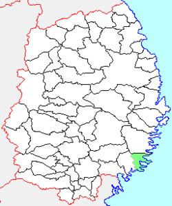 Location of Sanriku in Iwate Prefecture | |
 Sanriku Location in Japan | |
| Coordinates: 39°07′13″N 141°48′48″E | |
| Country | Japan |
| Region | Tōhoku |
| Prefecture | Iwate Prefecture |
| District | Kesen District |
| Merged | November 15, 2001 (now part of Ōfunato) |
| Area | |
| • Total | 137.13 km2 (52.95 sq mi) |
| Population (October 31, 2001) | |
| • Total | 8,322 |
| • Density | 60.69/km2 (157.2/sq mi) |
| Time zone | UTC+09:00 (JST) |
| Symbols | |
| Bird | Common gull |
| Flower | Camellia japonica |
| Tree | Cryptomeria |
History
The village of Sanriku was created on September 30, 1956 with the merger of the villages of Yoshihama, Okirai and Ryori, all from Kesen District.
On November 15, 2001, Sanriku was merged into the expanded city of Ōfunato and no longer exists as an independent municipality.
As of September 30, 2005, the town had an estimated population of 8,322 and a population density of 60.69 persons per km². The total area was 137.13 km².
External links
- Official website of Ōfunato (in Japanese)
Текст в блоке "Читать" взят с сайта "Википедия" и доступен по лицензии Creative Commons Attribution-ShareAlike; в отдельных случаях могут действовать дополнительные условия.
Другой контент может иметь иную лицензию. Перед использованием материалов сайта WikiSort.org внимательно изучите правила лицензирования конкретных элементов наполнения сайта.
Другой контент может иметь иную лицензию. Перед использованием материалов сайта WikiSort.org внимательно изучите правила лицензирования конкретных элементов наполнения сайта.
2019-2026
WikiSort.org - проект по пересортировке и дополнению контента Википедии
WikiSort.org - проект по пересортировке и дополнению контента Википедии