world.wikisort.org - Italy
Tavernette is a frazione (neighbourhood) of Cumiana, in Piedmont, northern Italy.
Tavernette | |
|---|---|
Frazione | |
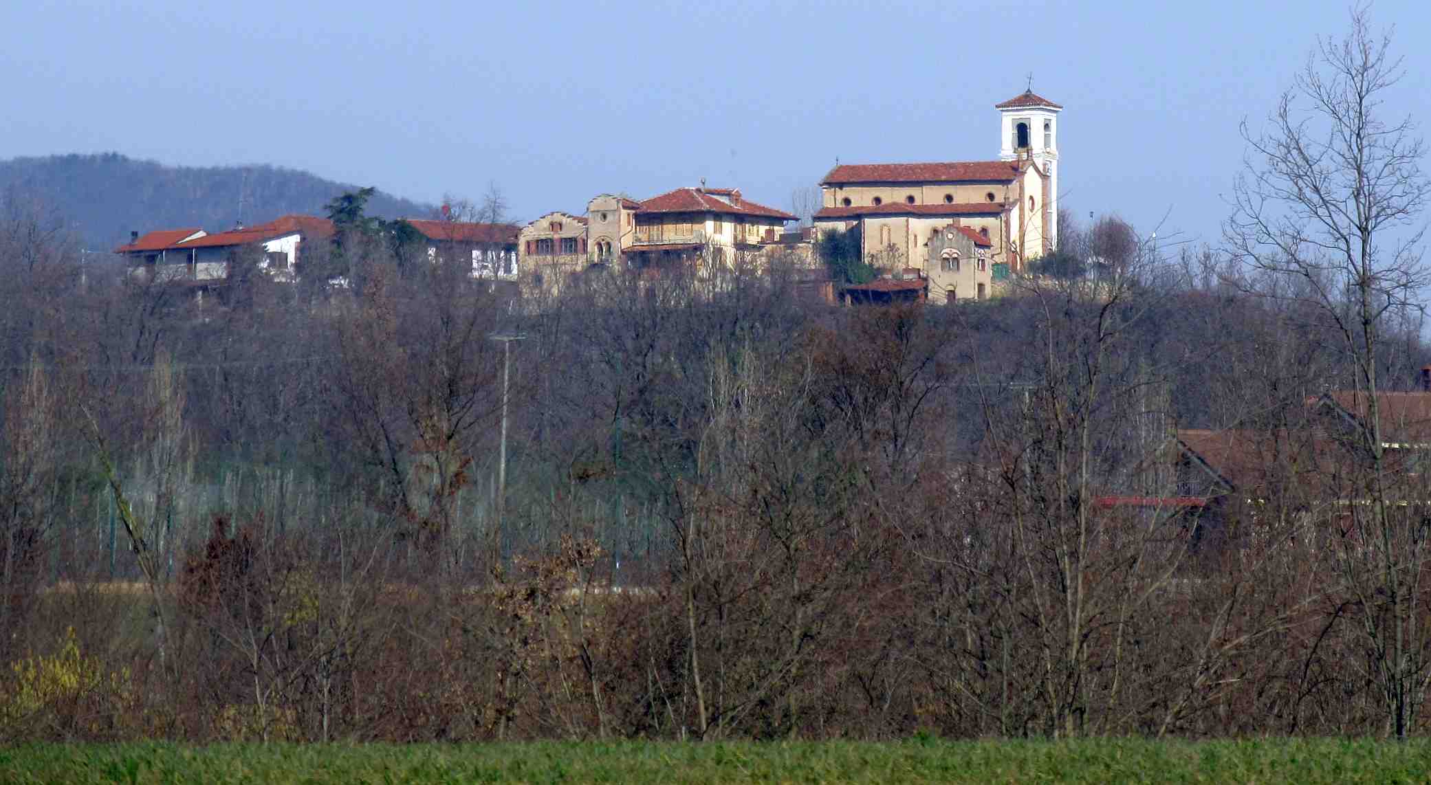
 Panoramic view from Rocca Due Denti | |
 Tavernette Location of Tavernette in Italy | |
| Coordinates: 44°57′09″N 7°22′27″E | |
| Country | |
| Region | |
| Province | Turin (TO) |
| Comune | Cumiana |
| Elevation | 374 m (1,227 ft) |
| Population (2001)[1] | |
| • Total | 236 |
| Time zone | UTC+1 (CET) |
| • Summer (DST) | UTC+2 (CEST) |
| Postal code | 100400 |
| Dialing code | (+39) 011 |
Its name comes from the latin tabernae [2] (in English tavern or country pub).
Geography
It is a borough located in the Chisola Valley, in the easternmost part of Cottian Alps, some kilometers south-east from the centre of Cumiana. The Monte Tre Denti and Monte Freidour peaks are located nearby.
History
Since 1928 Tavernette was a separate comune (municipality); before 1801 it also encompassed the present-day municipality of Piscina, located in the Po plain.[3]
| Wikimedia Commons has media related to Tavernette. |
References
- 14° Censimento generale della popolazione e delle abitazioni, Istat website dawinci.istat.it (accessed on February 2013)
- AA.VV (2010). Monte Tre Denti Freidour. Torino: Hapax. p. 10.
- Una briciola di ... storia..., Piscina municipality web site http://www.comune.piscina.to.it/articles.asp?id=2 Archived 2013-04-10 at the Wayback Machine (accessed on February 2013)
Текст в блоке "Читать" взят с сайта "Википедия" и доступен по лицензии Creative Commons Attribution-ShareAlike; в отдельных случаях могут действовать дополнительные условия.
Другой контент может иметь иную лицензию. Перед использованием материалов сайта WikiSort.org внимательно изучите правила лицензирования конкретных элементов наполнения сайта.
Другой контент может иметь иную лицензию. Перед использованием материалов сайта WikiSort.org внимательно изучите правила лицензирования конкретных элементов наполнения сайта.
2019-2026
WikiSort.org - проект по пересортировке и дополнению контента Википедии
WikiSort.org - проект по пересортировке и дополнению контента Википедии