world.wikisort.org - Israel
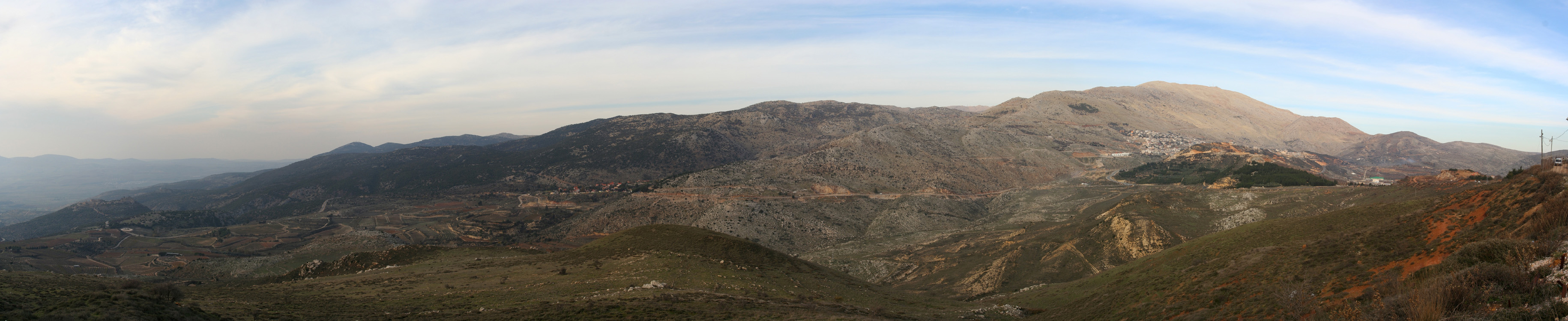
Nimrod (Hebrew: נִמְרוֹד) is a small Israeli settlement organized as a moshav, in the Golan Heights on the southern slopes of Mount Hermon, and is the highest such civilian settlement in Israeli-controlled territory at 1,110 meters (3,640 ft) above sea level. Located near the Israeli settlement of Neve Ativ and the Druze towns of Majdal Shams, Mas'ade, and Ein Qiniyye, it falls under the jurisdiction of Golan Regional Council. In 2019 it had a population of 16.[1]
This article needs additional citations for verification. (November 2018) |
Nimrod
נִמְרוֹד | |
|---|---|
 Nimrod  Nimrod | |
| Coordinates: 33°14′43″N 35°45′05″E | |
| District | Northern |
| Council | Golan |
| Region | Golan Heights |
| Founded | 1982 |
| Population (2019)[1] | 16 |
The international community considers Israeli settlements in the Golan Heights illegal under international law, but the Israeli government disputes this.[2]
History
The settlement was originally established as a paramilitary Nahal outpost on 31 January 1982, with groundbreaking on that year's Israeli Independence Day. It was named after the nearby ancient Nimrod Fortress. Nimrod became a civilian town in January 1999, and in 2019 was home to five families.[3] The village is centred on catering to tourists, and operates a restaurant and bungalows.
See also
- Israeli-occupied territories
References
- "Population in the Localities 2019" (XLS). Israel Central Bureau of Statistics. Retrieved 16 August 2020.
- "The Geneva Convention". BBC. 10 December 2009.
- "החיים בלבן, בגובה 1,125 מ' מעל פני היםכמונו". Xnet.ynet.co.il. 8 February 2019.
Другой контент может иметь иную лицензию. Перед использованием материалов сайта WikiSort.org внимательно изучите правила лицензирования конкретных элементов наполнения сайта.
WikiSort.org - проект по пересортировке и дополнению контента Википедии