world.wikisort.org - Ireland
Portloman (Irish: Port Lomáin)[1] is a civil parish in County Westmeath, Ireland. It is located about 6.5 kilometres (4 mi) north–west of Mullingar in hilly country on the western shore of Lough Owel.
Portloman
Port Lomáin | |
|---|---|
Civil parish | |
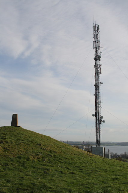
 Church ruin and graveyard in the eponymous townland | |
 Portloman Location of Portloman within County Westmeath in the Republic of Ireland | |
| Coordinates: 53°34′4″N 7°24′52″W | |
| Country | Ireland |
| Province | Leinster |
| County | County Westmeath |
| Irish grid reference | N388577 |
Portloman is one of 8 civil parishes in the barony of Corkaree in the Province of Leinster. The civil parish covers 2,595.8 acres (10.505 km2).
Portloman civil parish comprises 8 townlands: Ballard, Ballyboy, Balrath, Grangegeeth, Monroe, Portloman, Scurlockstown and Wattstown.
The neighbouring civil parishes are: Portnashangan to the north, Rathconnell (barony of Moyashel and Magheradernon) to the east, Templeoran (barony of Moygoish) to the south and west.[2][3]
References
- Portloman civil parish Logainm.ie Retrieved on 12 June 2015.
- Portloman civil parish, Co. Westmeath Townlands.ie Retrieved on 12 June 2015.
- Portloman civil parish, Co. Westmeath The IreAtlas Townland Data Base Retrieved on 12 June 2015.
External links
- Portloman civil parish at the IreAtlas Townland Data Base
- Portloman civil parish at Townlands.ie
- Portloman civil parish at Logainm.ie
Places in County Westmeath | ||
|---|---|---|
County town: Mullingar | ||
| Towns |  | |
| Villages |
| |
| Baronies | ||
| ||
This article related to the geography of County Westmeath, Ireland is a stub. You can help Wikipedia by expanding it. |
Другой контент может иметь иную лицензию. Перед использованием материалов сайта WikiSort.org внимательно изучите правила лицензирования конкретных элементов наполнения сайта.
WikiSort.org - проект по пересортировке и дополнению контента Википедии