world.wikisort.org - India
Kurnool (telugu కర్నూలు) è una suddivisione dell'India, classificata come municipal corporation, di 267.739 abitanti, capoluogo del distretto di Kurnool, nello stato federato dell'Andhra Pradesh. In base al numero di abitanti la città rientra nella classe I (da 100.000 persone in su)[4].
| Kurnool Corporazione Municipale (Municipal Corporation) | |
|---|---|
| కర్నూలు | |
 | |
| Localizzazione | |
| Stato | |
| Stato federato | Andhra Pradesh |
| Divisione | Non presente |
| Distretto | Kurnool |
| Territorio | |
| Coordinate | 15°49′20″N 78°02′06″E |
| Altitudine | 273[1] m s.l.m. |
| Superficie | 97,69 km² |
| Abitanti | 267 739 (2001) |
| Densità | 2 740,7 ab./km² |
| Altre informazioni | |
| Lingue | telugu, inglese |
| Cod. postale | 518001, 518002[2] |
| Prefisso | 8518[3] |
| Fuso orario | UTC+5:30 |
| Cartografia | |
 Kurnool | |
Società
Evoluzione demografica
Al censimento del 2001 la popolazione di Kurnool assommava a 267.739 persone, delle quali 135.859 maschi e 131.880 femmine. I bambini di età inferiore o uguale ai sei anni assommavano a 33.681, dei quali 17.240 maschi e 16.441 femmine. Infine, coloro che erano in grado di saper almeno leggere e scrivere erano 169.476, dei quali 94.329 maschi e 75.147 femmine.[5]
Note
- (EN) Falling Rain Genomics, Inc, Kurnool, India Page, su fallingrain.com. URL consultato l'11 luglio 2008.
- (EN) India Post, Pincode search - Kurnool, su indiapost.gov.in. URL consultato il 28 luglio 2008.
- (EN) Bharat Sanchar Nigam Ltd, STD Codes for cities in Andhra Pradesh, su bsnl.co.in. URL consultato il 28 luglio 2008 (archiviato dall'url originale il 2 maggio 2008).
- (EN) Census of India, Alphabetical list of towns and their population - Andhra Pradesh (PDF), su censusindia.gov.in. URL consultato il 21 maggio 2008.
- (EN) Census of India 2001, Population, population in the age group 0-6 and literates by sex - Cities/Towns (in alphabetic order): 2001, su censusindia.net. URL consultato il 20 giugno 2008 (archiviato dall'url originale il 16 giugno 2004).
Altri progetti
 Wikimedia Commons contiene immagini o altri file su Kurnool
| Controllo di autorità | VIAF (EN) 136103505 · GND (DE) 4266535-8 |
|---|
На других языках
[de] Kurnool
Kurnool (Telugu: కర్నూలు Karnūlu [.mw-parser-output .IPA a{text-decoration:none}ˈkʌrnuːlu], auch Karnul) ist eine Stadt im indischen Bundesstaat Andhra Pradesh.[en] Kurnool
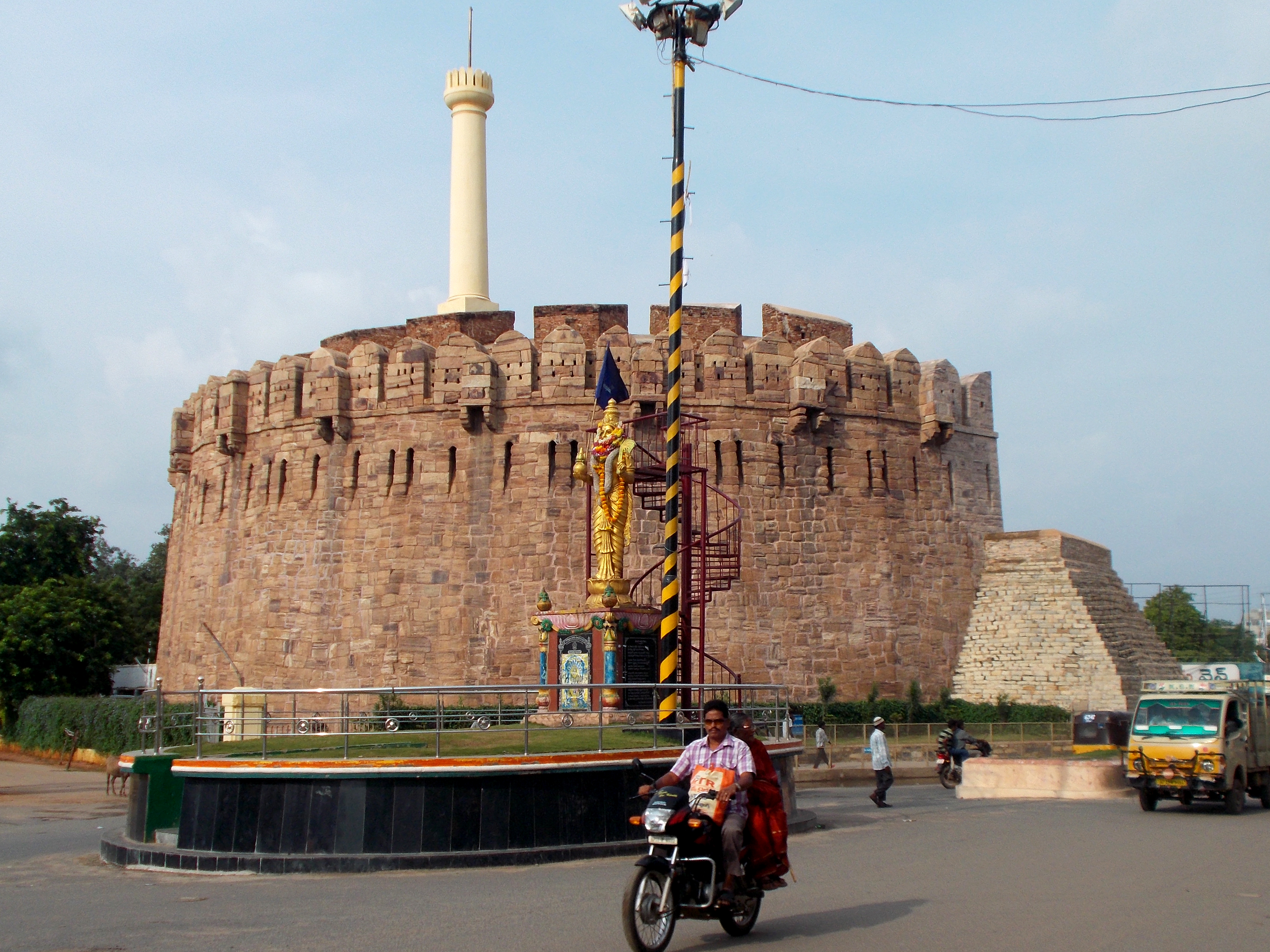
Kurnool is a city in the state of Andhra Pradesh, India. It formerly served as the capital of Andhra State (1953–1956). The city is often referred to as "The Gateway of Rayalaseema".Kurnool is also known as The City of GemStones. It also serves as the district headquarters of its Kurnool district. As of 2011[update] census, it is the fifth most populous city in the state with a population of 484,327.[3][5] It is located on the banks of the Tungabhadra river. Although the area has been inhabited for thousands of years, modern Kurnool was founded in the 16th century CE with the construction of the Konda Reddy Fort.- [it] Kurnool
[ru] Карнул
Карнул[1], Карну́лу[2] (телугу కర్నూలు, хинди कर्नूल, англ. Kurnool) — город в Южной Индии в штате Андхра-Прадеш. Административный центр округа Карнул. Карнул расположен в 212 км к югу от столицы штата, города Хайдарабад. Шестой по величине город штата. Известен как «Ворота Раяласимы», является крупнейшим городом данного региона. С 1 октября 1953 года по 31 октября 1956 года являлся столицей штата Андхра.Текст в блоке "Читать" взят с сайта "Википедия" и доступен по лицензии Creative Commons Attribution-ShareAlike; в отдельных случаях могут действовать дополнительные условия.
Другой контент может иметь иную лицензию. Перед использованием материалов сайта WikiSort.org внимательно изучите правила лицензирования конкретных элементов наполнения сайта.
Другой контент может иметь иную лицензию. Перед использованием материалов сайта WikiSort.org внимательно изучите правила лицензирования конкретных элементов наполнения сайта.
2019-2026
WikiSort.org - проект по пересортировке и дополнению контента Википедии
WikiSort.org - проект по пересортировке и дополнению контента Википедии