world.wikisort.org - India
Utraula is a city and a municipal board in Balrampur district in the Indian state of Uttar Pradesh. It is approximately 90 kilometres from the border with Nepal and 175 km in north east of Lucknow. Utraula is situated near the West Rapti River.
Utraula | |
|---|---|
Town | |
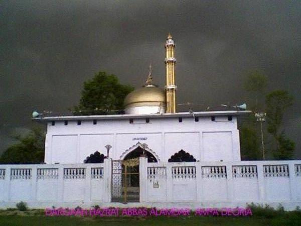 | |
 Utraula Location in Uttar Pradesh, India | |
| Coordinates: 27.32°N 82.42°E | |
| Country | |
| State | Uttar Pradesh |
| District | Balrampur |
| Named for | Utraula |
| Government | |
| • Member of the Legislative Assembly | Ram Pratap Verma |
| Elevation | 96 m (315 ft) |
| Population (2011) | |
| • Total | 32,145 |
| • Density | 442/km2 (1,140/sq mi) |
| Languages | |
| • Official | Hindi |
| • Spoken | Awadhi |
| Time zone | UTC+5:30 (IST) |
| PIN | 271604 |
| Telephone code | 915265 |
| Vehicle registration | UP-47 |
| Sex ratio | 60-40% ♂/♀ |
Geography
This section does not cite any sources. (September 2022) |
Utraula is a Block in Balrampur district. It is one of 9 blocks in the district. The block has 114 villages hosting 22,204 houses. Utraula Town is divided in 29 wards.
Utraula sits around 28.98 km from its district headquarter Balrampur. Surrounding districts are: Gonda district (40.8 km), Shravasti district (66.3 km), Siddharthnagar district (66.78 km), Sant Kabir Nagar district (88.88 km).
Demographics
As of 2011 Indian Census,[1] Utraula had a population of 32,145. Males constitute 76.2% and females 66.61%. The average literacy rate is 67.68%, lower than the national average of 71.48%: male literacy is 61%, and female literacy is 46%. 14.52% are under 0 — 6 years. The Muslim Khanzada form a large part of the rural population.
Culture
The native languages of Utraula are Hindi and Urdu. Most people speak Hindi or Urdu. Utraula people use Hindi and Urdu language for communication.
Governance
A civil court Judge, SDM office and Sub Registrar Office are there.[citation needed]
Transport
Air
The nearest airport is Chaudhary Charan Singh International Airport, 184 km away.[2]
References
- "Census of India: Search Details". Censusindia.gov.in. Retrieved 5 November 2019.
- "Utraula to Chaudhary Charan Singh International Airport (LKO) Route". www.distancesfrom.com. Retrieved 20 September 2022.
Authority control | |
|---|---|
| General |
|
| National libraries | |
Другой контент может иметь иную лицензию. Перед использованием материалов сайта WikiSort.org внимательно изучите правила лицензирования конкретных элементов наполнения сайта.
WikiSort.org - проект по пересортировке и дополнению контента Википедии