world.wikisort.org - India
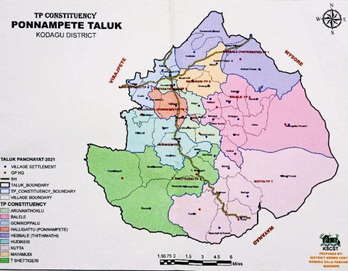
Ponnampet is a town which is also the taluk headquarters of Ponnampet taluk which is in the southern part of the district of Kodagu in the state of Karnataka.Ponnampet taluk came into existence on 29 November 2020.[1][2][3]
Ponnampet
Ponnampete Ponnapett | |
|---|---|
town | |
 Ponnampet town | |
 Ponnampet Location in Karnataka, India | |
| Coordinates: 12.2°N 75.9°E | |
| Country | |
| State | Karnataka |
| District | Kodagu |
| Established | 1821 |
| Government | |
| • Body | Gram panchayat |
| Elevation | 851 m (2,792 ft) |
| Population | |
| • Total | 6,473 |
| Languages | |
| • Official | Kannada |
| Time zone | UTC+5:30 (IST) |
| PIN | 571 216 |
| Telephone code | 08274 |
| Vehicle registration | KA-12 |
It was originally named after Diwan Cheppudira Ponnappa as Ponnapett.[4] It was established in the year 1821 in the name of the Late Diwan under the regime of Kodagu Rajas.
The town was called notified area in the period of British and later on it was converted into a Municipality and now it is known as 1st Grade Village Panchayath. Ponnampet was a Taluk Headquarters during Pre-Independence Period and continues up to the re-organisation of states after independence.
It has a population of 6,473 according to 2011 census.[5] A college of forestry formerly a part of the University of Agricultural Sciences, Bangalore, now with the University of Agricultural and Horticultural Sciences, Shimoga is located here. A hill known as Kundah overlooks the town.

Administration and Government
Major Government offices here are:
- Ponnampet Taluk Panchayath Office (Executive Officer)
- Civil Court
- Sub Treasury
- Sub Registrars Office
- Horticulture Office
- Women and Child Welfare Office
- Village Panchayath Office
- Nad Office (Deputy Thasildhar Office)
- Range Forest Office
- PWD Office
- CESCOM office
- Post Office
Landmarks
- Various Banks like DCC Bank, SBI, Canara Bank, Igguthappa Souhardha Bank, Town Cop Bank, APCMS, Corporation Bank, Primary Agriculture and Credit Co-op bank, APCMS.
- Sports Facilities like Astro Turf Ground, Sports School
- Inspection Bungalow
- Kodava Samaj
- Veterinary Hospital
- Ramakrishna Sharada Seva Ashram Hospital
- Agriculture Research Centre
- BSNL Office - Telephone Exchange
- Mahila Co-op Society
- Police Station
- Swami Vivekananda Ashram Hospital
In addition to this within 5 kilometres the Gonikoppal town in which Krishi Vigyan Kendra (KVK), Cauvery degree college, Coffee Board Research Centre, many schools and college, a circle inspector office, KEB - AEE office are also located here.
Education
- Appachakavi Vidyalaya
- St. Antonys school
- Sai Shankar Institutions
- Govt Junior College
- Industrial Training Institute (ITI)
- PU and Degree Colleges
- B.Ed College
- Social Welfare Office - Hostels (Boys and Girls)
- Coorg Institute of Technology
- College of Forestry
Notes
- "Ponnampet taluk: Victory for decades-old fight". Deccan Herald. 27 February 2019. Retrieved 29 December 2020.
- "After Ponnampet, Kushalnagar may soon get taluk status". The Hindu. Special Correspondent. 30 November 2020. ISSN 0971-751X. Retrieved 29 December 2020.
{{cite news}}: CS1 maint: others (link) - "It's official. Ponnampet taluk comes into existence". Star of Mysore. 29 November 2020. Retrieved 29 December 2020.
- Government of Mysore (1864). Report on the Administration of Mysore for 1863-64. p. 141.
- "Census 2011 Kodagu (Village code 054)" (PDF).
{{cite web}}: CS1 maint: url-status (link)
Authority control | |
|---|---|
| General |
|
| National libraries | |
This article related to a location in Kodagu district, Karnataka, India is a stub. You can help Wikipedia by expanding it. |
Другой контент может иметь иную лицензию. Перед использованием материалов сайта WikiSort.org внимательно изучите правила лицензирования конкретных элементов наполнения сайта.
WikiSort.org - проект по пересортировке и дополнению контента Википедии