world.wikisort.org - India
Banikhet is located about seven kilometers from Dalhousie, India. It is an important centre of tourism in the Chamba district.


This article needs additional citations for verification. (January 2021) |
Banikhet | |
|---|---|
village | |
 Banikhet Location in Himachal Pradesh, India  Banikhet Banikhet (India) | |
| Coordinates: 32.545556°N 75.943669°E | |
| Country | |
| State | Himachal Pradesh |
| District | Chamba |
| Languages | |
| • Official | Hindi |
| Time zone | UTC+5:30 (IST) |
| PIN | 176303 [1] |
| Telephone code | 1899 (Chamba) [2] |
| Vehicle registration | HP 47 [3] |
| Nearest city | Dalhousie |
Geography
Banikhet is situated in the Dhauladhar range of the Himalayas at an altitude of 5,500 feet (1,700 m) above the sea level. It has daytime temperature of 25 °C and night temperature of about 15 °C during summers.
Tourism
Banikhet is home to a number of tourist attractions, including the Historical Naag Mandir, Jawala Mata Mandir and Helipad. The town's profile has been raised with the establishment of NHPC Ltd.'s Chamera Hydro-Electric Project.
Education
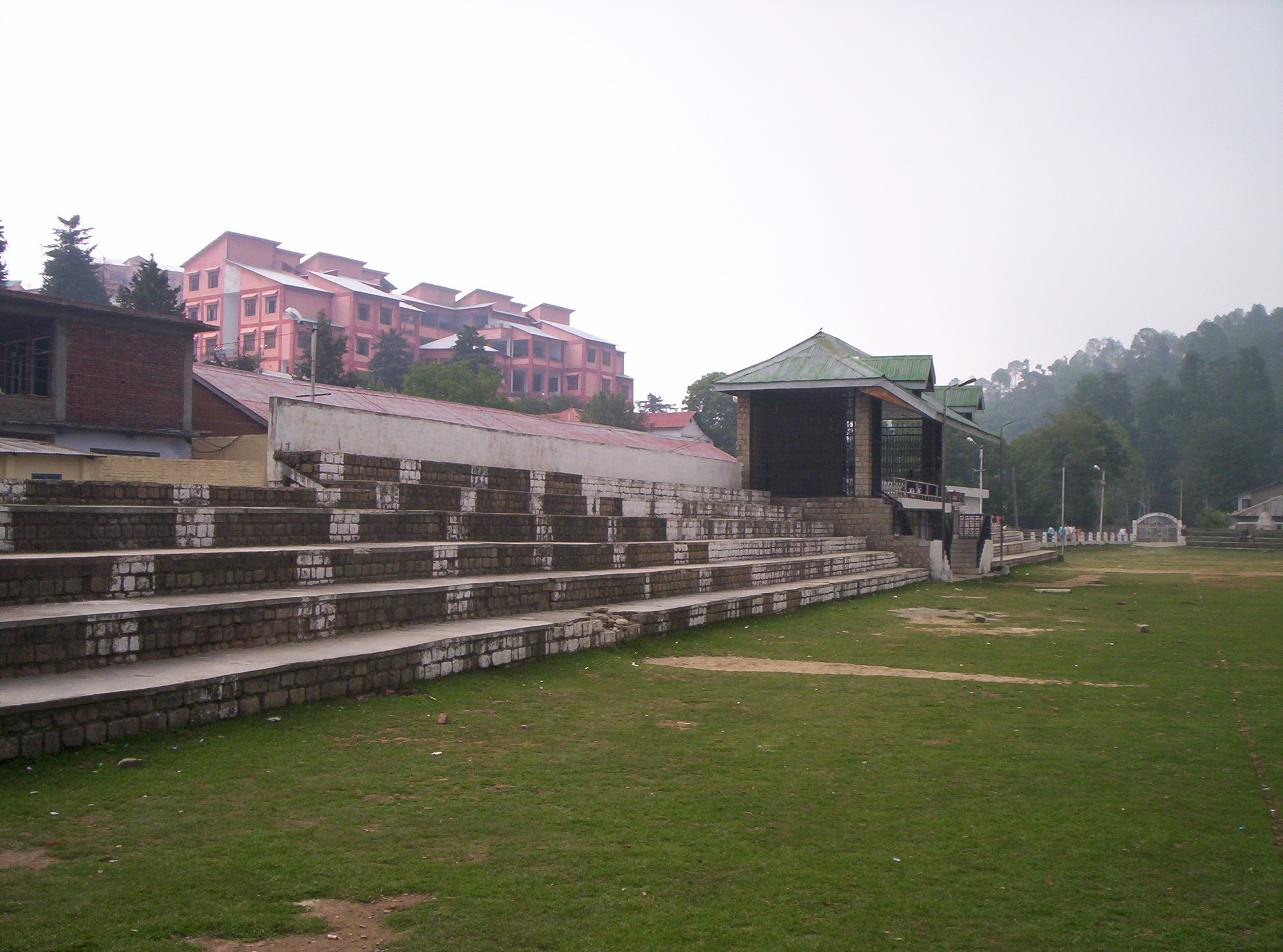
Banikhet has around four schools, including Kendriya Vidyalaya Sangathan and the only college (DAV) in area.
References
- India Post. (EN) Pincode search - Banikhet
- Bharat Sanchar Nigam Ltd. STD Codes for cities in Himachal Pradesh Archived 26 May 2011 at the Wayback Machine
- "Registration Codes - Transport Department, Government of Himachal Pradesh".
This Himachal Pradesh location article is a stub. You can help Wikipedia by expanding it. |
Другой контент может иметь иную лицензию. Перед использованием материалов сайта WikiSort.org внимательно изучите правила лицензирования конкретных элементов наполнения сайта.
WikiSort.org - проект по пересортировке и дополнению контента Википедии