world.wikisort.org - Germania
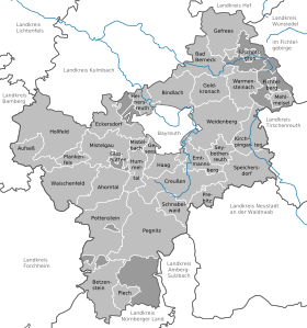
Il circondario di Bayreuth è uno dei circondari dello stato tedesco della Baviera.
| Circondario di Bayreuth circondario | |||
|---|---|---|---|
| Landkreis Bayreuth | |||
| |||
| Localizzazione | |||
| Stato | |||
| Land | |||
| Distretto | |||
| Amministrazione | |||
| Capoluogo | Bayreuth | ||
| Governatore | Hermann Hübner (CSU) | ||
| Territorio | |||
| Coordinate del capoluogo | 49°57′N 11°35′E | ||
| Altitudine | 507 m s.l.m. | ||
| Superficie | 1 273,09 km² | ||
| Abitanti | 103 679[1] (31-12-2020) | ||
| Densità | 81,44 ab./km² | ||
| Comuni | 33 | ||
| Altre informazioni | |||
| Fuso orario | UTC+1 | ||
| Codice Destatis | 09 4 72 | ||
| Targa | BT | ||
| Cartografia | |||
 | |||
| Sito istituzionale | |||


Fa parte del distretto governativo dell'Alta Franconia
Città e comuni
(Abitanti il 31 dicembre 2020[1])
 |
Città
|
Comuni
|
 |
Schloss Aufseß | Aufseß |
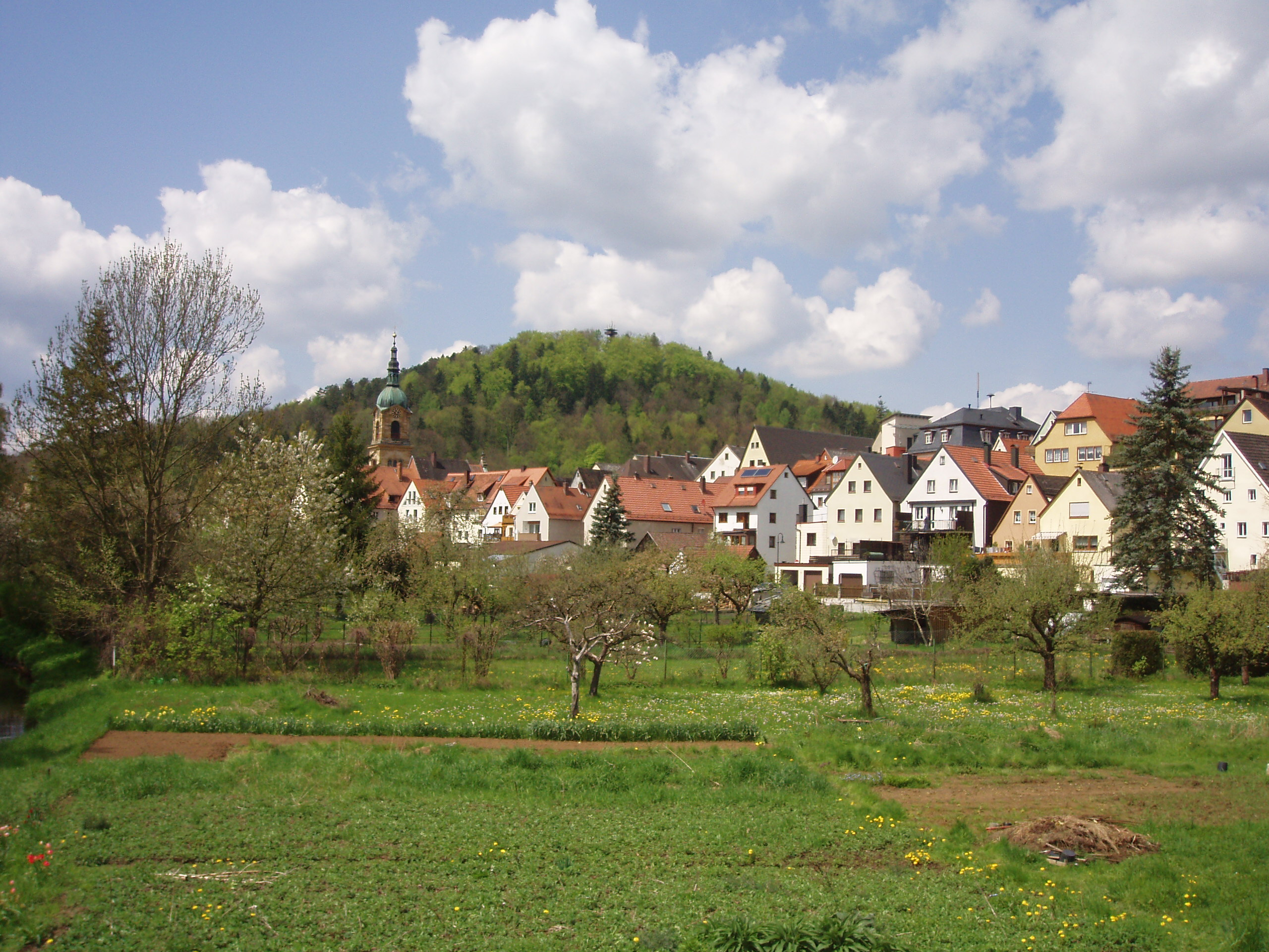
| Schloss Freienfels | Hollfeld | |
| Hollfeld | Hollfeld | |
 |
Pegnitz | Pegnitz |
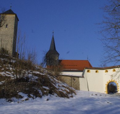
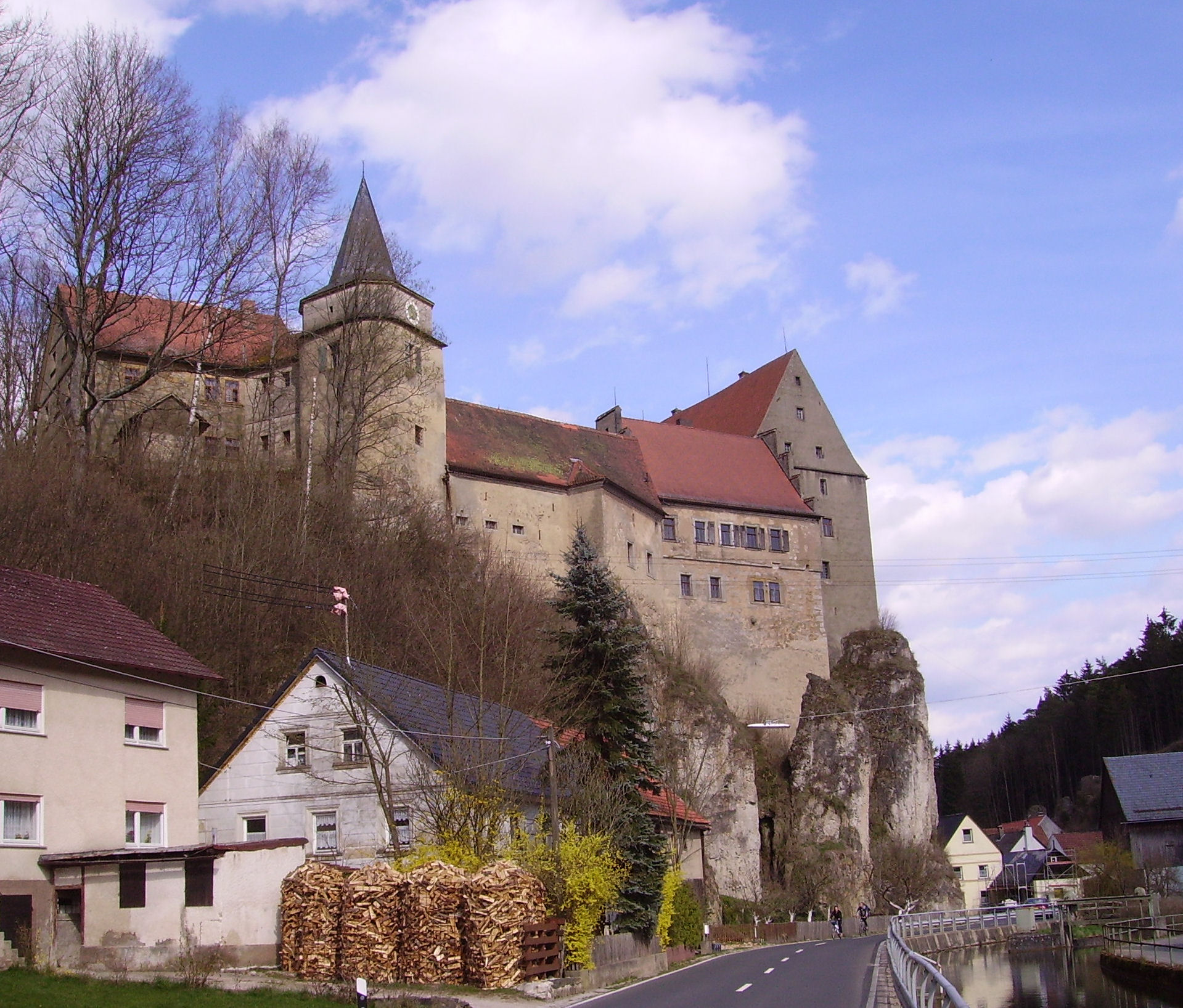
| Burg Pottenstein | Pottenstein | |
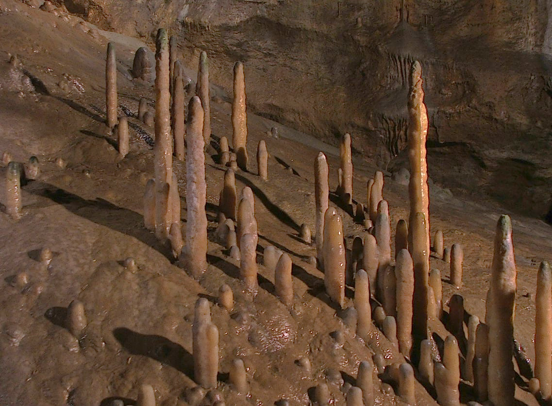 |
Teufelshöhle | Pottenstein |
 |
Tüchersfeld | Pottenstein |
| Burg Waischenfeld | Waischenfeld | |
 |
Schloss Wiesentfels | Hollfeld |
Note
Altri progetti
 Wikimedia Commons contiene immagini o altri file su circondario di Bayreuth
Collegamenti esterni
- Sito ufficiale, su landkreis-bayreuth.de.
| Controllo di autorità | VIAF (EN) 128990346 · LCCN (EN) n79035882 · GND (DE) 4005057-9 · J9U (EN, HE) 987007559528405171 (topic) · WorldCat Identities (EN) lccn-n79035882 |
|---|
На других языках
[de] Landkreis Bayreuth
Der Landkreis Bayreuth liegt im Südosten des bayerischen Regierungsbezirks Oberfranken. Die kreisfreie Stadt Bayreuth ist ganz vom Landkreis umgeben.[en] Bayreuth (district)
Bayreuth (German pronunciation: [baɪˈʁɔʏt] (listen)) is a Landkreis (district) in Bavaria, Germany. It surrounds, but does not include the city of Bayreuth. The district is bounded by (from the north and clockwise) the districts of Kulmbach, Hof, Wunsiedel, Tirschenreuth, Neustadt an der Waldnaab, Amberg-Sulzbach, Nürnberger Land, Forchheim and Bamberg.- [it] Circondario di Bayreuth
[ru] Байройт (район)
Байройт (нем. Bayreuth) — район в Германии, в административном округе Верхняя Франкония Республики Бавария[2]. Центр района — город земельного подчинения Байройт, официально в состав района не входит. Региональный шифр — 09 472.[1] Регистрационные номера транспортных средств (нем. Kraftfahrzeugkennzeichen) — BT.Текст в блоке "Читать" взят с сайта "Википедия" и доступен по лицензии Creative Commons Attribution-ShareAlike; в отдельных случаях могут действовать дополнительные условия.
Другой контент может иметь иную лицензию. Перед использованием материалов сайта WikiSort.org внимательно изучите правила лицензирования конкретных элементов наполнения сайта.
Другой контент может иметь иную лицензию. Перед использованием материалов сайта WikiSort.org внимательно изучите правила лицензирования конкретных элементов наполнения сайта.
2019-2026
WikiSort.org - проект по пересортировке и дополнению контента Википедии
WikiSort.org - проект по пересортировке и дополнению контента Википедии