world.wikisort.org - Allemagne
Königsfeld est une municipalité allemande située dans le land de Rhénanie-Palatinat et l'arrondissement d'Ahrweiler.
Pour les articles homonymes, voir Königsfeld.
Cet article est une ébauche concernant une localité allemande.
Vous pouvez partager vos connaissances en l’améliorant (comment ?) selon les recommandations des projets correspondants.
| Königsfeld | |||

| |||
 Armoiries |
|||
| Administration | |||
|---|---|---|---|
| Pays | |||
| Land | |||
| Arrondissement (Landkreis) |
Ahrweiler | ||
| Bourgmestre (Ortsbürgermeister) |
Hans-Josef Zipp | ||
| Code postal | 53426 | ||
| Code communal (Gemeindeschlüssel) |
07 1 31 041 | ||
| Indicatif téléphonique | 02646 | ||
| Immatriculation | AW | ||
| Démographie | |||
| Population | 651 hab. (31/12/2008) | ||
| Densité | 90 hab./km2 | ||
| Géographie | |||
| Coordonnées | 50° 29′ 55″ nord, 7° 10′ 35″ est | ||
| Altitude | 272 m |
||
| Superficie | 720 ha = 7,2 km2 | ||
| Localisation | |||
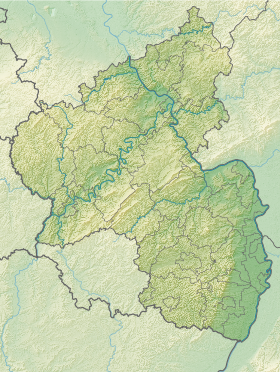
| Géolocalisation sur la carte : Rhénanie-Palatinat
Géolocalisation sur la carte : Allemagne
| |||
| Liens | |||
| Site web | www.koenigsfeld-eifel.de | ||
| modifier |
|||

Monuments historiques
- Cimetière juif de Königsfeld
Source
- (de) Cet article est partiellement ou en totalité issu de l’article de Wikipédia en allemand intitulé « Königsfeld (Eifel) » (voir la liste des auteurs).
 Portail de la Rhénanie-Palatinat
На других языках
[de] Königsfeld (Eifel)
Königsfeld ist eine Ortsgemeinde im Landkreis Ahrweiler in Rheinland-Pfalz. Sie gehört der Verbandsgemeinde Brohltal an, die ihren Verwaltungssitz in Niederzissen hat.[en] Königsfeld, Rhineland-Palatinate
Königsfeld is a municipality in the district of Ahrweiler, in Rhineland-Palatinate, Germany.- [fr] Königsfeld (Eifel)
[ru] Кёнигсфельд (Айфель)
Кёнигсфельд (нем. Königsfeld) — община в Германии, в земле Рейнланд-Пфальц.Текст в блоке "Читать" взят с сайта "Википедия" и доступен по лицензии Creative Commons Attribution-ShareAlike; в отдельных случаях могут действовать дополнительные условия.
Другой контент может иметь иную лицензию. Перед использованием материалов сайта WikiSort.org внимательно изучите правила лицензирования конкретных элементов наполнения сайта.
Другой контент может иметь иную лицензию. Перед использованием материалов сайта WikiSort.org внимательно изучите правила лицензирования конкретных элементов наполнения сайта.
2019-2025
WikiSort.org - проект по пересортировке и дополнению контента Википедии
WikiSort.org - проект по пересортировке и дополнению контента Википедии