world.wikisort.org - Germany
Unterriexingen is a village in the district of Ludwigsburg, Baden-Württemberg, Germany. By 1973 it was incorporated to the town of Markgröningen.
This article needs additional citations for verification. (October 2016) |
Unterriexingen | |
|---|---|
Stadtteil of Markgröningen | |
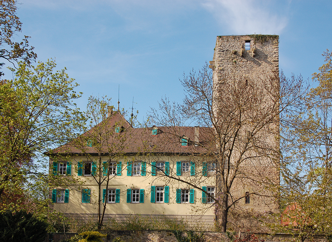
 View towards the center of Unterriexingen | |
Location of Unterriexingen  | |
 Unterriexingen  Unterriexingen | |
| Coordinates: 48°56′19″N 9°3′22″E | |
| Country | Germany |
| State | Baden-Württemberg |
| Admin. region | Stuttgart |
| District | Ludwigsburg |
| Town | Markgröningen |
| Area | |
| • Total | 7.29 km2 (2.81 sq mi) |
| Elevation | 194 m (636 ft) |
| Population (2011)[1] | |
| • Total | 2,320 |
| • Density | 320/km2 (820/sq mi) |
| Time zone | UTC+01:00 (CET) |
| • Summer (DST) | UTC+02:00 (CEST) |
| Postal codes | 71706 |
| Dialling codes | 07147 |
| Vehicle registration | LB |
Geography
Geology
Unterriexingen lies on a by the Glems split terrace of the Enz, which rises to the south and was covered by a glacial Loess layer.
Location and route network
The village lies on the northern edge of the Strohgäu about four kilometers north of Markgröningen. Through Unterriexingen flows the Glems. About 400 meters below the town the Glems opens in the Enz.
Neighbouring
Around Unterriexingen are the settlements of Großsachsenheim, Untermberg, Markgröningen, Talhausen, Aichholzhof, Pulverdingen, Enzweihingen, Leinfelder Hof and Oberriexingen (from the north clockwise).


Sons and daughters of the town
- August Ludwig Reyscher (born 1802 in the rectory; died in Cannstatt 1880), lawyer, legal scholars and politician (Landtag and Reichstag), 'the only honorary citizen' of Unterriexingen (appointment on 24 December 1842). He left a description of his youth in Unterriexingen [2]
- Ulrich Noack (born 1956), lawyer and a professor at the University of Düsseldorf.
References
- Unterriexingen, citypopulation.de, accessed 27 September 2021.
- Siehe August Ludwig Reyscher: Aus alter und neuer Zeit. Freiburg und Tübingen 1884.
| Wikimedia Commons has media related to Unterriexingen. |
Authority control | |
|---|---|
| General |
|
| National libraries | |
This Ludwigsburg district location article is a stub. You can help Wikipedia by expanding it. |
Другой контент может иметь иную лицензию. Перед использованием материалов сайта WikiSort.org внимательно изучите правила лицензирования конкретных элементов наполнения сайта.
WikiSort.org - проект по пересортировке и дополнению контента Википедии