world.wikisort.org - Germany
Hirschau is a village in Tübingen district in Baden-Württemberg, Germany. Since 1971, it is an outer district of the city of Tübingen.
This article needs additional citations for verification. (September 2021) |
Hirschau | |
|---|---|
Village of Tübingen | |
Location of Hirschau within Tübingen  | |
 Hirschau  Hirschau | |
| Coordinates: 48°30′05″N 8°59′40″E | |
| Country | Germany |
| State | Baden-Württemberg |
| District | Tübingen |
| Town | Tübingen |
| Area | |
| • Total | 6.17 km2 (2.38 sq mi) |
| Highest elevation | 475 m (1,558 ft) |
| Lowest elevation | 330 m (1,080 ft) |
| Population (2020-12-31)[1] | |
| • Total | 3,297 |
| • Density | 530/km2 (1,400/sq mi) |
| Time zone | UTC+01:00 (CET) |
| • Summer (DST) | UTC+02:00 (CEST) |
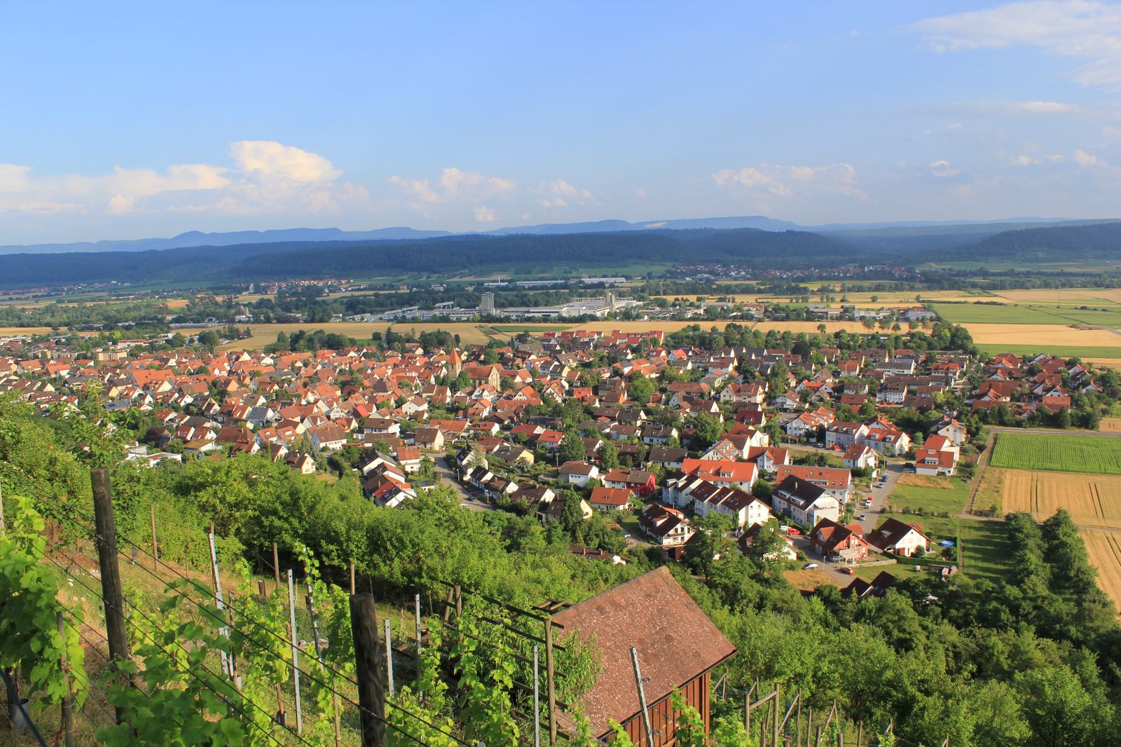
Hirschau has a population of 3297 (2020) on an area of 6.17 km2. It is the westernmost district of Tübingen. Hirschau lies to the north of the Neckar river, about 3 km to the east of Wurmlingen, which is a part of Rottenburg am Neckar, and about 6 km to the east of the town centre of Rottenburg am Neckar as well as to the west of the city centre of Tübingen.
The highest point is the Spitzberg at 475 m above mean sea level.
Unlike most of Tübingen, Hirschau is, like neighbouring Rottenburg, mostly Roman Catholic.
References
- "Hirschau". Universitätsstadt Tübingen. Retrieved 24 September 2021.
Authority control | |
|---|---|
| General |
|
| National libraries | |
Текст в блоке "Читать" взят с сайта "Википедия" и доступен по лицензии Creative Commons Attribution-ShareAlike; в отдельных случаях могут действовать дополнительные условия.
Другой контент может иметь иную лицензию. Перед использованием материалов сайта WikiSort.org внимательно изучите правила лицензирования конкретных элементов наполнения сайта.
Другой контент может иметь иную лицензию. Перед использованием материалов сайта WikiSort.org внимательно изучите правила лицензирования конкретных элементов наполнения сайта.
2019-2026
WikiSort.org - проект по пересортировке и дополнению контента Википедии
WikiSort.org - проект по пересортировке и дополнению контента Википедии