world.wikisort.org - Germany
Bietigheim is a village in the district of Rastatt in Baden-Württemberg in Southwestern Germany. It is located east of the Rhine river and thus the border to France, west of the Black Forest (more precisely the Northern Black Forest), south of the city of Karlsruhe and north of the city of Rastatt.
This article may be expanded with text translated from the corresponding article in German. (February 2009) Click [show] for important translation instructions.
|
Bietigheim | |
|---|---|
Municipality | |
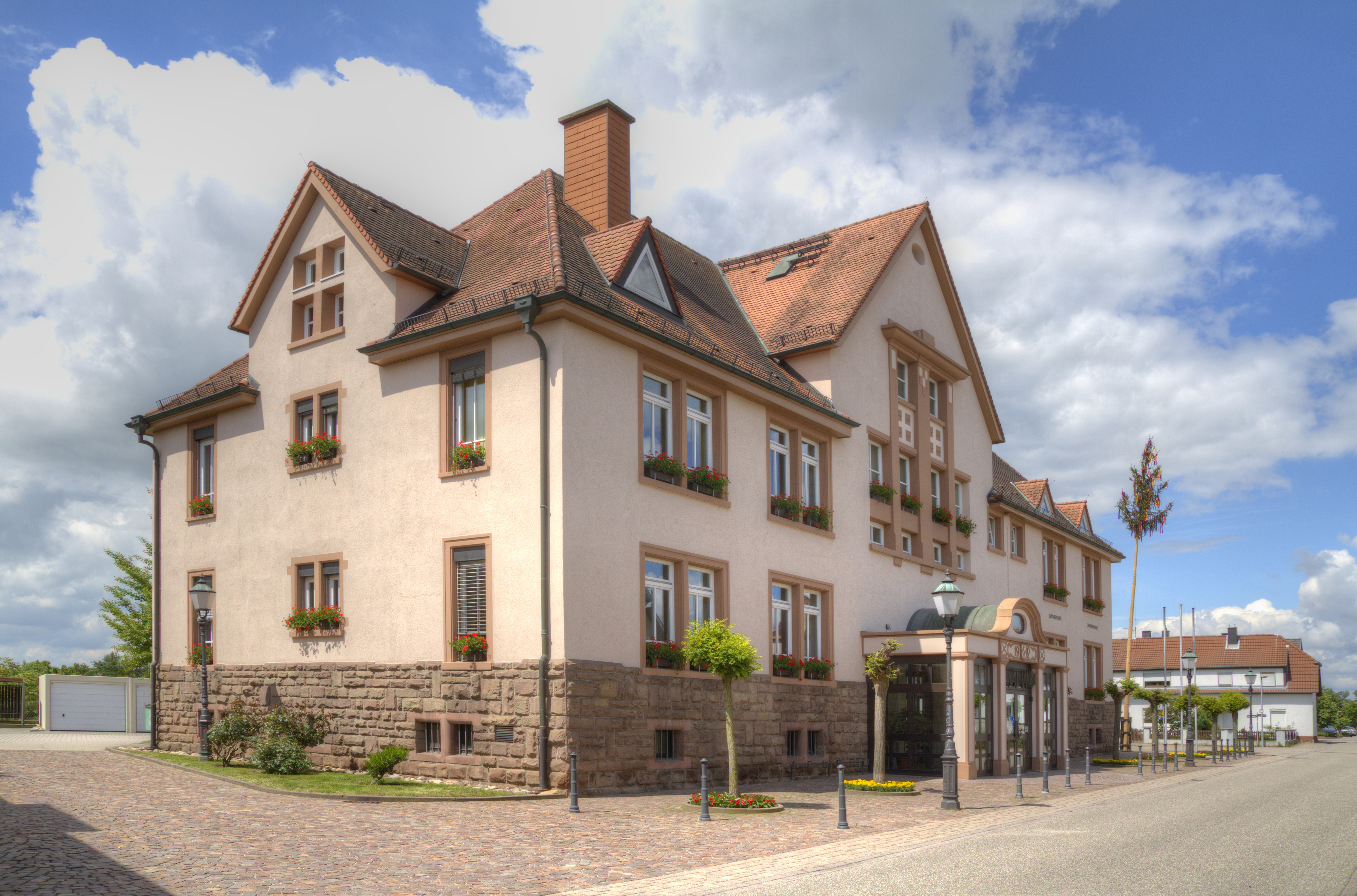
 Town hall | |
 Coat of arms | |
Location of Bietigheim within Rastatt district 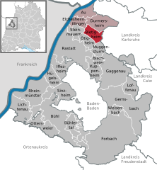 | |
 Bietigheim  Bietigheim | |
| Coordinates: 48°54′37″N 08°15′11″E | |
| Country | Germany |
| State | Baden-Württemberg |
| Admin. region | Karlsruhe |
| District | Rastatt |
| Government | |
| • Mayor (2016–24) | Constantin Braun (CDU) |
| Area | |
| • Total | 13.90 km2 (5.37 sq mi) |
| Elevation | 121 m (397 ft) |
| Population (2020-12-31)[1] | |
| • Total | 6,485 |
| • Density | 470/km2 (1,200/sq mi) |
| Time zone | UTC+01:00 (CET) |
| • Summer (DST) | UTC+02:00 (CEST) |
| Postal codes | 76462–76467 |
| Dialling codes | 07245 |
| Vehicle registration | RA |
| Website | www.bietigheim.de |
Geography
Bietigheim is located in the 30km wide Upper Rhine Plain which is limited by the Black Forest on the east side and the French Vosges / German Palatinate Forest on the west side. The village itself extends from the fluvial terrace to the actual rhine valley. On the southern part of Bietigheim's Gemarkung is the southern end of the forest Hardtwald.
The closest cities to Bietigheim are: Rastatt (~ 7km), Karlsruhe (~ 18km) and Baden-Baden (~ 23km).
Neighbour towns and villages
Bietigheim borders on the following towns, clockwise beginning from the north: Durmersheim, Malsch, Muggensturm, Ötigheim, Steinmauern, Elchesheim-Illingen.
Transport
Bietigheim is predominantly a village in which people live as commuter to the cities Karlsruhe, Rastatt and even for the valley of the river Murg (Northern Black Forest).
Rail links
The village maintains the stop Bietigheim (Baden) of the Rhine Railway (Baden). The light rail lines S7 and S8 of the Albtal-Verkehrs-Gesellschaft both stop in Bietigheim.
Road transport
The Bundesstraße 3, the Bundesstraße 36 as well as the Bundesautobahn 5 running through the Gemarkung of Bietigheim. Furthermore, two rest areas: Schleifweg (northern direction) and Silbergrund (southern direction) are stationed on Bietigheim's part of the BAB5. In October 2006 the Bundesstraße 36 was moved to the east side and thus out of the city center.
Further one out of eleven colza oil-fuel stations of the state Baden-Württemberg are located in Bietigheim.
Air transport
With an approximate distance of 20km (12 mi) the Airport Karlsruhe/Baden-Baden (German: Flughafen Karlsruhe/Baden-Baden, IATA airport code FKB) and the second most important airport of Baden-Württemberg is the closest airport. Other airports are reachable by car via BAB5 / BAB8 or train. The next further airport is Stuttgart Airport (German: Flughafen Stuttgart, IATA airport code STR) and ~ 92km (57 mi) away. Frankfurt Airport (German: Flughafen Frankfurt am Main, IATA airport code FRA) is ~ 141km (88 mi) away (one and a half hour drive by car).
Mayors
- 1945 - 1946: Ludwig Hammer (1898-1956)
- 1948 - 1975: Wilhelm Heck (1910-1975)
- 1976 - 1992: Rüdiger Schäfer (born 1950)
- 1992 - 2016: Ernst Kopp (born 1954)
- since 2016: Constantin Braun (born 1987)
Personalities
Sons and Daughters of the community
- August Klingler (1918-1944), soccer player
Other persons associated with the place
- Kurt Bürger (Karl Ganz) (1894-1951), politician, short time Minister President of Land Mecklenburg
References
- "Bevölkerung nach Nationalität und Geschlecht am 31. Dezember 2020" [Population by nationality and sex as of December 31, 2020] (CSV). Statistisches Landesamt Baden-Württemberg (in German). June 2021. Retrieved 17 October 2021.
Towns and municipalities in Rastatt (district) | ||
|---|---|---|
This Rastatt district location article is a stub. You can help Wikipedia by expanding it. |
На других языках
- [en] Bietigheim (Baden)
[ru] Битигхайм (Баден)
Битигхайм (нем. Bietigheim) — коммуна в Германии, в земле Баден-Вюртемберг.Другой контент может иметь иную лицензию. Перед использованием материалов сайта WikiSort.org внимательно изучите правила лицензирования конкретных элементов наполнения сайта.
WikiSort.org - проект по пересортировке и дополнению контента Википедии