world.wikisort.org - France
Villequier is a former commune in the Seine-Maritime department in the Normandy region in northern France. On 1 January 2016, it was merged into the new commune of Rives-en-Seine.[2]
Villequier | |
|---|---|
Part of Rives-en-Seine | |
 | |
 Coat of arms | |
Location of Villequier  | |
 Villequier  Villequier | |
| Coordinates: 49°30′49″N 0°40′29″E | |
| Country | France |
| Region | Normandy |
| Department | Seine-Maritime |
| Arrondissement | Rouen |
| Canton | Notre-Dame-de-Gravenchon |
| Commune | Rives-en-Seine |
| Area 1 | 11.1 km2 (4.3 sq mi) |
| Population (2019)[1] | 682 |
| • Density | 61/km2 (160/sq mi) |
| Time zone | UTC+01:00 (CET) |
| • Summer (DST) | UTC+02:00 (CEST) |
| Postal code | 76490 |
| Elevation | 0–147 m (0–482 ft) (avg. 6 m or 20 ft) |
| 1 French Land Register data, which excludes lakes, ponds, glaciers > 1 km2 (0.386 sq mi or 247 acres) and river estuaries. | |
Geography
A village of farming and forestry situated by the banks of the river Seine in the Pays de Caux, some 23 miles (37 km) west of Rouen near the junction of the D281 with the D81 road.
Heraldry
 |
The arms of Villequier are blazoned : Gules, on a cross fleury between 12 billets Or, an anchor sable.
|
Population
| Year | 1962 | 1968 | 1975 | 1982 | 1990 | 1999 | 2006 |
|---|---|---|---|---|---|---|---|
| Population | 740 | 773 | 752 | 769 | 822 | 808 | 788 |
| From the year 1962 on: No double counting—residents of multiple communes (e.g. students and military personnel) are counted only once. | |||||||
Places of interest

- The church of St. Pierre, dating from the sixteenth century.
- The church of St. Martin, dating from the twelfth century.
- The fifteenth-century chateau of Ételan, with its park and a dovecote.
- Medieval fortifications at La Guerche.
- Three seventeenth-century manorhouses.
- An eighteenth-century presbytery.
- The chapel of Barre-Y-Va.
- The Victor Hugo museum.
- The Hugo family tombs in the cemetery.
People
- Victor Hugo (1802–1895), dramatist, spent much time here with his friends and family. His daughter Léopoldine Hugo drowned in Villequier in 1843.
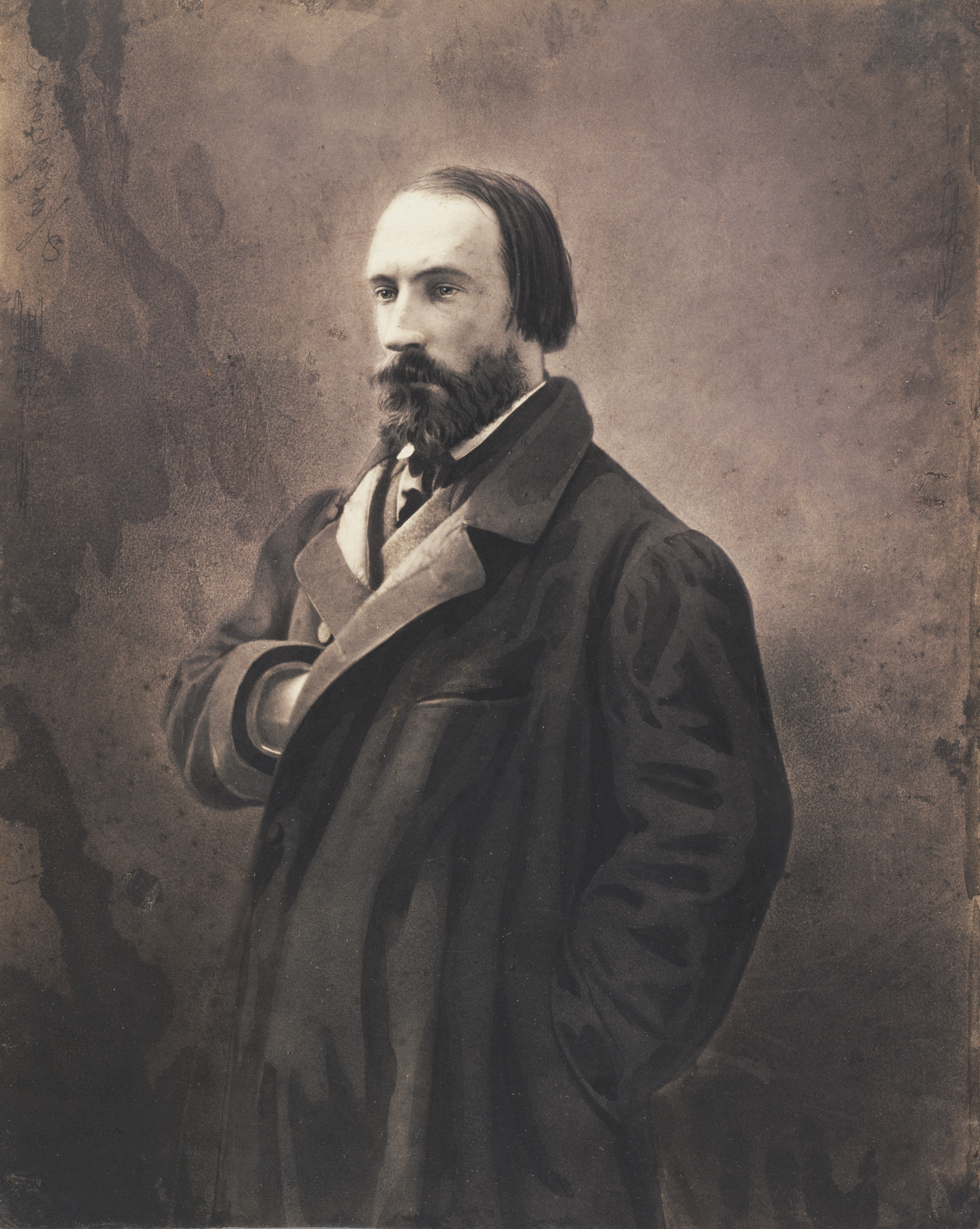
- Auguste Vacquerie (1819–1895), poet and journalist, was born here and is buried here.
See also
References
- Téléchargement du fichier d'ensemble des populations légales en 2019, INSEE
- Arrêté préfectoral 16 December 2015
Wikimedia Commons has media related to Villequier.
Authority control | |
|---|---|
| General | |
| National libraries | |
Текст в блоке "Читать" взят с сайта "Википедия" и доступен по лицензии Creative Commons Attribution-ShareAlike; в отдельных случаях могут действовать дополнительные условия.
Другой контент может иметь иную лицензию. Перед использованием материалов сайта WikiSort.org внимательно изучите правила лицензирования конкретных элементов наполнения сайта.
Другой контент может иметь иную лицензию. Перед использованием материалов сайта WikiSort.org внимательно изучите правила лицензирования конкретных элементов наполнения сайта.
2019-2026
WikiSort.org - проект по пересортировке и дополнению контента Википедии
WikiSort.org - проект по пересортировке и дополнению контента Википедии