world.wikisort.org - France
Roucamps (French pronunciation: [ʁukɑ̃] (![]() listen)) is a former commune in the Calvados in the Normandy region in northwestern France. On 1 January 2017, it was merged into the new commune Les Monts d'Aunay.[2]
listen)) is a former commune in the Calvados in the Normandy region in northwestern France. On 1 January 2017, it was merged into the new commune Les Monts d'Aunay.[2]
This article may be expanded with text translated from the corresponding article in French. (December 2008) Click [show] for important translation instructions.
|
Roucamps | |
|---|---|
Part of Les Monts d'Aunay | |
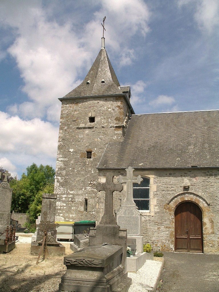 | |
Location of Roucamps  | |
 Roucamps  Roucamps | |
| Coordinates: 48°59′27″N 0°37′14″W | |
| Country | France |
| Region | Normandy |
| Department | Calvados |
| Arrondissement | Vire |
| Canton | Les Monts d'Aunay |
| Commune | Les Monts d'Aunay |
| Area 1 | 5.41 km2 (2.09 sq mi) |
| Population (2019)[1] | 223 |
| • Density | 41/km2 (110/sq mi) |
| Time zone | UTC+01:00 (CET) |
| • Summer (DST) | UTC+02:00 (CEST) |
| Postal code | 14260 |
| Elevation | 203–307 m (666–1,007 ft) (avg. 280 m or 920 ft) |
| 1 French Land Register data, which excludes lakes, ponds, glaciers > 1 km2 (0.386 sq mi or 247 acres) and river estuaries. | |
Population
| Year | Pop. | ±% |
|---|---|---|
| 1962 | 176 | — |
| 1968 | 174 | −1.1% |
| 1975 | 144 | −17.2% |
| 1982 | 158 | +9.7% |
| 1990 | 178 | +12.7% |
| 1999 | 145 | −18.5% |
| 2008 | 180 | +24.1% |
| 2019 | 223 | +23.9% |
See also
References
- Téléchargement du fichier d'ensemble des populations légales en 2019, INSEE
- Arrêté préfectoral 26 September 2016 (in French)
Wikimedia Commons has media related to Roucamps.
This Calvados geographical article is a stub. You can help Wikipedia by expanding it. |
На других языках
[de] Roucamps
Roucamps ( Aussprache?/i) ist eine ehemalige französische Gemeinde mit zuletzt 235 Einwohnern (Stand: 1. Januar 2014), den Roucampois, im Département Calvados in der Region Normandie.- [en] Roucamps
[ru] Рукан
Рука́н (фр. Roucamps) — коммуна во Франции, находится в регионе Нижняя Нормандия. Департамент коммуны — Кальвадос. Входит в состав кантона Оне-сюр-Одон. Округ коммуны — Вир.Текст в блоке "Читать" взят с сайта "Википедия" и доступен по лицензии Creative Commons Attribution-ShareAlike; в отдельных случаях могут действовать дополнительные условия.
Другой контент может иметь иную лицензию. Перед использованием материалов сайта WikiSort.org внимательно изучите правила лицензирования конкретных элементов наполнения сайта.
Другой контент может иметь иную лицензию. Перед использованием материалов сайта WikiSort.org внимательно изучите правила лицензирования конкретных элементов наполнения сайта.
2019-2026
WikiSort.org - проект по пересортировке и дополнению контента Википедии
WikiSort.org - проект по пересортировке и дополнению контента Википедии