world.wikisort.org - France
Lathus-Saint-Rémy (French pronunciation: [latys sɛ̃ ʁemi]), commonly known as Lathus, is a commune in the Vienne department, and the region of Nouvelle-Aquitaine, western France.
Lathus-Saint-Rémy | |
|---|---|
Commune | |
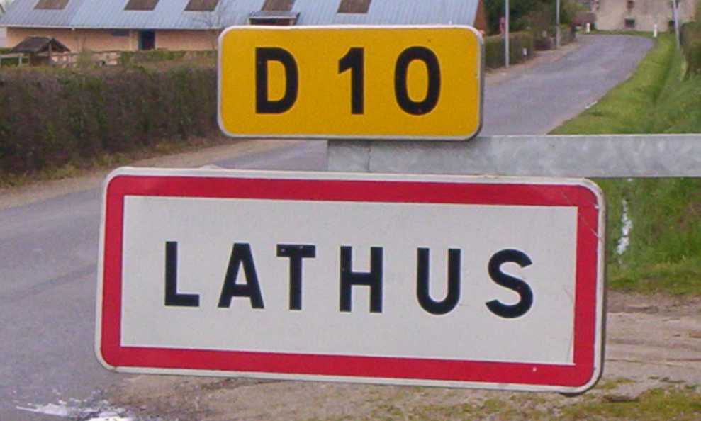 A sign entering Lathus, on the D10 road | |
Location of Lathus-Saint-Rémy  | |
 Lathus-Saint-Rémy  Lathus-Saint-Rémy | |
| Coordinates: 46°20′04″N 0°57′33″E | |
| Country | France |
| Region | Nouvelle-Aquitaine |
| Department | Vienne |
| Arrondissement | Montmorillon |
| Canton | Montmorillon |
| Government | |
| • Mayor (2020–2026) | Antoine Selosse |
| Area 1 | 98.28 km2 (37.95 sq mi) |
| Population | 1,217 |
| • Density | 12/km2 (32/sq mi) |
| Time zone | UTC+01:00 (CET) |
| • Summer (DST) | UTC+02:00 (CEST) |
| INSEE/Postal code | 86120 /86390 |
| Elevation | 94–228 m (308–748 ft) (avg. 180 m or 590 ft) |
| 1 French Land Register data, which excludes lakes, ponds, glaciers > 1 km2 (0.386 sq mi or 247 acres) and river estuaries. | |
Geography
The Salleron forms most of the commune's eastern border.
See also
References
- "Populations légales 2019". The National Institute of Statistics and Economic Studies. 29 December 2021.
Wikimedia Commons has media related to Lathus-Saint-Rémy.
Authority control | |
|---|---|
| General |
|
| National libraries | |
| Other |
|
This Vienne geographical article is a stub. You can help Wikipedia by expanding it. |
На других языках
[de] Lathus-Saint-Rémy
Lathus-Saint-Rémy ist eine französische Gemeinde mit 1.217 Einwohnern (Stand: 1. Januar 2019) im Département Vienne in der Region Nouvelle-Aquitaine; sie ist Teil des Arrondissements Montmorillon und des Kantons Montmorillon.- [en] Lathus-Saint-Rémy
Текст в блоке "Читать" взят с сайта "Википедия" и доступен по лицензии Creative Commons Attribution-ShareAlike; в отдельных случаях могут действовать дополнительные условия.
Другой контент может иметь иную лицензию. Перед использованием материалов сайта WikiSort.org внимательно изучите правила лицензирования конкретных элементов наполнения сайта.
Другой контент может иметь иную лицензию. Перед использованием материалов сайта WikiSort.org внимательно изучите правила лицензирования конкретных элементов наполнения сайта.
2019-2026
WikiSort.org - проект по пересортировке и дополнению контента Википедии
WikiSort.org - проект по пересортировке и дополнению контента Википедии