world.wikisort.org - France
Ensigné (French pronunciation: [ɑ̃siɲe]) is a commune in the Deux-Sèvres department in the Nouvelle-Aquitaine region in western France.
Ensigné | |
|---|---|
Commune | |
 The commandry | |
Location of Ensigné  | |
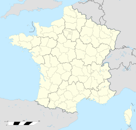  Ensigné 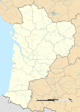 Ensigné | |
| Coordinates: 46°05′19″N 0°14′35″W | |
| Country | France |
| Region | Nouvelle-Aquitaine |
| Department | Deux-Sèvres |
| Arrondissement | Niort |
| Canton | Mignon-et-Boutonne |
| Government | |
| • Mayor (2020–2026) | Bernard Belaud[1] |
| Area 1 | 20.30 km2 (7.84 sq mi) |
| Population | 289 |
| • Density | 14/km2 (37/sq mi) |
| Time zone | UTC+01:00 (CET) |
| • Summer (DST) | UTC+02:00 (CEST) |
| INSEE/Postal code | 79111 /79170 |
| Elevation | 55–149 m (180–489 ft) (avg. 413 m or 1,355 ft) |
| 1 French Land Register data, which excludes lakes, ponds, glaciers > 1 km2 (0.386 sq mi or 247 acres) and river estuaries. | |
Geography
The surrounding countryside is densely wooded. The village is close to the forest of Ensigné and of Aulnay.
The kindergarten and primary school have been merged with those of Asnières-en-Poitou and Paizay-le-Chapt, none of the three individual villages having a population above 300 by the start of the twenty-first century.
History
The history of the village is closely linked to that of the Knights Templar. Ensigné contains a Templar command post comprising fortifications, a chapel and a castle. Today the site is privately owned: the castle itself is in a ruined condition, but two separate properties have been created from the part including the former chapel.
See also
References
- "Répertoire national des élus: les maires". data.gouv.fr, Plateforme ouverte des données publiques françaises (in French). 2 December 2020.
- "Populations légales 2019". The National Institute of Statistics and Economic Studies. 29 December 2021.


 | This Deux-Sèvres geographical article is a stub. You can help Wikipedia by expanding it. |
На других языках
[de] Ensigné
Ensigné ist eine französische Gemeinde mit 289 Einwohnern (Stand: 1. Januar 2019) im Département Deux-Sèvres in der Region Nouvelle-Aquitaine (vor 2016 Poitou-Charentes). Sie gehört zum Arrondissement Niort und zum Kanton Mignon-et-Boutonne (bis 2015 Brioux-sur-Boutonne).- [en] Ensigné
Другой контент может иметь иную лицензию. Перед использованием материалов сайта WikiSort.org внимательно изучите правила лицензирования конкретных элементов наполнения сайта.
WikiSort.org - проект по пересортировке и дополнению контента Википедии