world.wikisort.org - France
Aignerville (French pronunciation: [ɛɲɛʁvil] (![]() listen)) is a former commune in the Calvados department in the Normandy region of northwestern France. On 1 January 2017, it was merged into the new commune Formigny La Bataille.[2]
listen)) is a former commune in the Calvados department in the Normandy region of northwestern France. On 1 January 2017, it was merged into the new commune Formigny La Bataille.[2]
Aignerville | |
|---|---|
Part of Formigny La Bataille | |
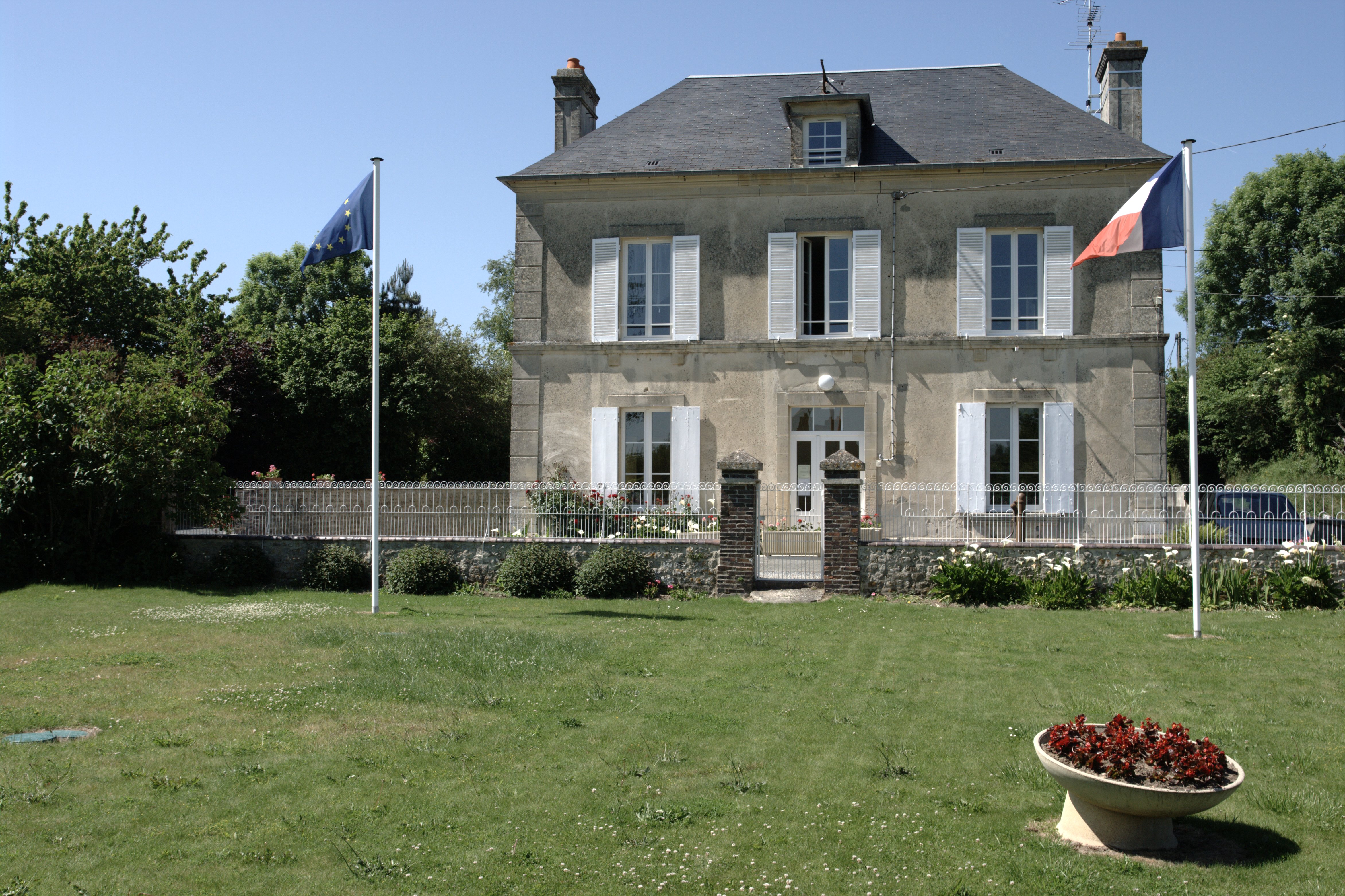 Town hall | |
Location of Aignerville  | |
 Aignerville  Aignerville | |
| Coordinates: 49°19′13″N 0°55′13″W | |
| Country | France |
| Region | Normandy |
| Department | Calvados |
| Arrondissement | Bayeux |
| Canton | Trévières |
| Commune | Formigny La Bataille |
| Area 1 | 4.35 km2 (1.68 sq mi) |
| Population (2019)[1] | 204 |
| • Density | 47/km2 (120/sq mi) |
| Time zone | UTC+01:00 (CET) |
| • Summer (DST) | UTC+02:00 (CEST) |
| Postal code | 14710 |
| Elevation | 1–54 m (3.3–177.2 ft) (avg. 20 m or 66 ft) |
| 1 French Land Register data, which excludes lakes, ponds, glaciers > 1 km2 (0.386 sq mi or 247 acres) and river estuaries. | |
The inhabitants of the commune are known as Aignervillais or Aignervillaises.[3]
Geography
Aignerville is located in the Regional Natural Park of Marshes of Cotentin and Bessin, two kilometres north-west of Trevieres and 16 km east by north-east of Bayeux in the valley of the Aure. The commune is bisected in the northern part from west to east by Route nationale N13 Motorway (E46) which runs between Carentan and Bayeux. Aignerville village is reached by road D198 from Asnieres-en-Bessin in the north which passes through the length of the commune and the village and continues south to join the D124 on the southern border. The commune consists almost entirely of farmland with the villages of Carrefour-Berigot, La Grande Route, and Chapelle-Saint-Louis along the north of the motorway and Normanville, Hameau-Lair, La Croix-Toutin, and Aignerville to the south.[4]
The Ruisseau-de-Formigny river flows from south to north through the commune into the Aure Interieur which flows from the east forming the south-eastern border of the commune. In the south of the commune is a network of irrigation canals which is the beginning of a much larger network outside the commune.[4]
Neighbouring Communes and Villages[4] | ||||||||||||||||
|---|---|---|---|---|---|---|---|---|---|---|---|---|---|---|---|---|
| ||||||||||||||||
Administration
This list is incomplete; you can help by adding missing items. (April 2021) |
List of Successive Mayors of Aignerville[5]
| From | To | Name | Party | Position |
|---|---|---|---|---|
| 1995 | 2017 | Jean-Pierre Marie | SE | Mechanic |
Population
| Year | Pop. | ±% |
|---|---|---|
| 2006 | 136 | — |
| 2007 | 154 | +13.2% |
| 2008 | 173 | +12.3% |
| 2009 | 192 | +11.0% |
| 2010 | 200 | +4.2% |
| 2011 | 200 | +0.0% |
| 2012 | 199 | −0.5% |
| 2013 | 199 | +0.0% |
| 2014 | 198 | −0.5% |
| 2015 | 201 | +1.5% |
Sites and monuments


- The Parish Church of Saint Peter dates from the 14th century and contains a Painting: The Judgement of Solomon (16th century)
 which is registered as an historical object.[6]
See also
References
- Téléchargement du fichier d'ensemble des populations légales en 2019, INSEE
- Arrêté préfectoral 8 September 2016 (in French)
- Inhabitants of Calvados (in French)
- Google Maps
- List of Mayors of France
- Ministry of Culture, Palissy PM14000002 Painting: The Judgement of Solomon (in French)

External links
На других языках
[de] Aignerville
Aignerville ist eine Ortschaft und eine ehemalige französische Gemeinde mit 204 Einwohnern (Stand: 1. Januar 2019) im Département Calvados in der Region Normandie. Sie gehörte zum Arrondissement Bayeux und zum Kanton Trévières.- [en] Aignerville
[ru] Эньервиль
Эньерви́ль (фр. Aignerville) — коммуна во Франции, находится в регионе Нижняя Нормандия. Департамент коммуны — Кальвадос. Входит в состав кантона Тревьер. Округ коммуны — Байё.Другой контент может иметь иную лицензию. Перед использованием материалов сайта WikiSort.org внимательно изучите правила лицензирования конкретных элементов наполнения сайта.
WikiSort.org - проект по пересортировке и дополнению контента Википедии