world.wikisort.org - Czech
Libáň is a town in Jičín District in the Hradec Králové Region of the Czech Republic. It has about 1,900 inhabitants.
Libáň | |
|---|---|
Town | |
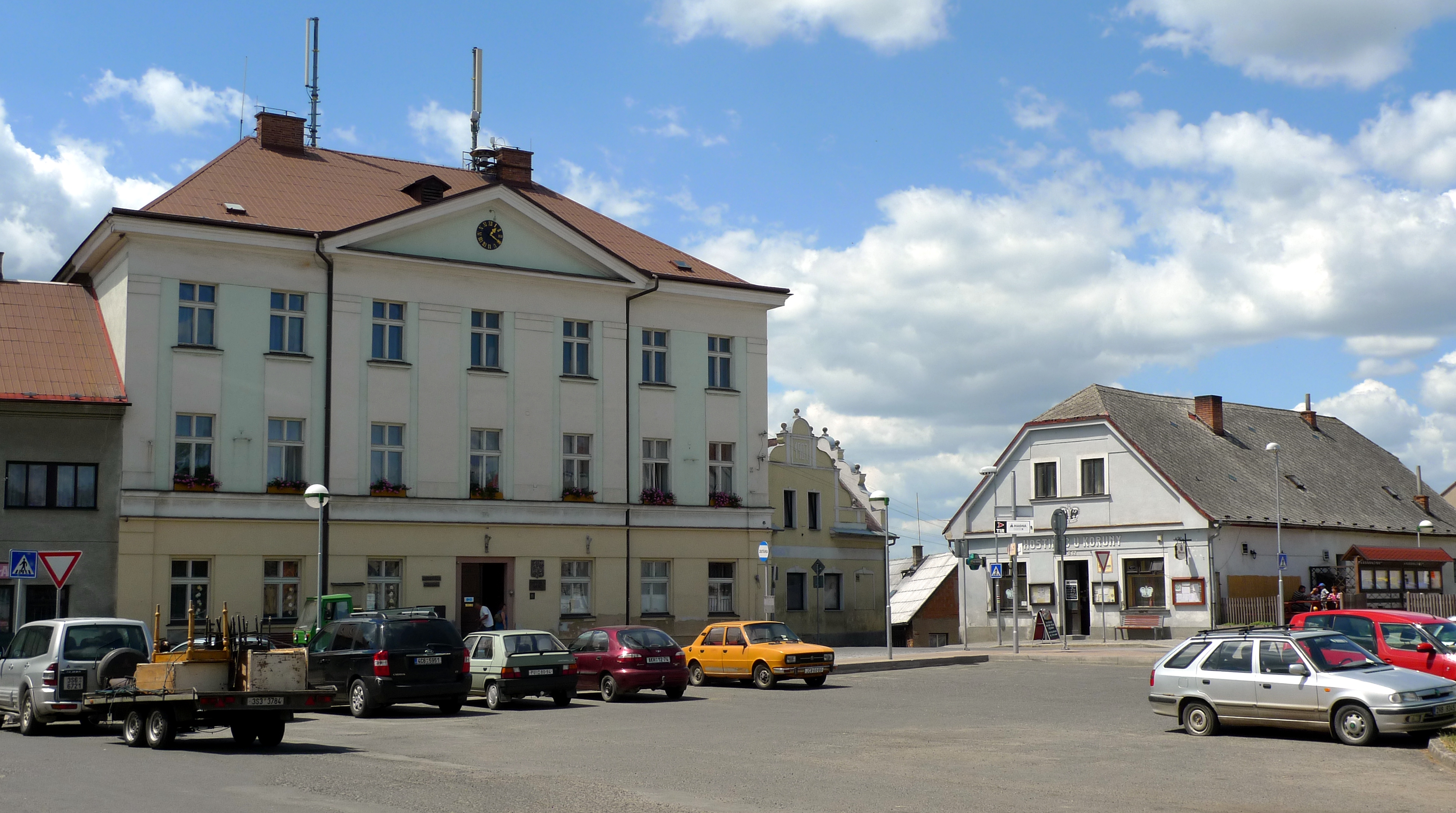
 Main square | |
 Flag  Coat of arms | |
 Libáň Location in the Czech Republic | |
| Coordinates: 50°22′31″N 15°13′5″E | |
| Country | |
| Region | Hradec Králové |
| District | Jičín |
| First mentioned | 1340 |
| Government | |
| • Mayor | Petr Soukup |
| Area | |
| • Total | 19.67 km2 (7.59 sq mi) |
| Elevation | 238 m (781 ft) |
| Population (2022-01-01)[1] | |
| • Total | 1,900 |
| • Density | 97/km2 (250/sq mi) |
| Time zone | UTC+1 (CET) |
| • Summer (DST) | UTC+2 (CEST) |
| Postal code | 507 23 |
| Website | www |
Administrative parts
Villages of Kozodírky, Křešice, Psinice and Zliv are administrative parts of Libáň.
Geography
Libáň is located about 12 km (7 mi) southwest of Jičín and 59 km (37 mi) northeast of Prague. It lies mostly in the Central Elbe Table. The northeastern part of the municipal territory belongs to the Jičín Uplands and includes the highest point of Libáň at 323 m (1,060 ft) above sea level. The Libáňský Stream flows through the town. There are several ponds around the town, the largest of them is Stejskal.
History
The first written mention of Libáň is from 1340, when it was already referred to as a town.[2]
Gallery
 Town hall
 U Koruny pub
 Rural house in Křešice
 View towards Libáň


References
- "Population of Municipalities – 1 January 2022". Czech Statistical Office. 2022-04-29.
- "Historie, charakteristika města Libáň" (in Czech). Město Libáň. Retrieved 2022-11-04.
External links
| Authority control: National libraries |
|---|
This Hradec Králové Region location article is a stub. You can help Wikipedia by expanding it. |
На других языках
[de] Libáň
Libáň (deutsch Liban) ist eine Stadt in Tschechien. Die landwirtschaftlich-industriell geprägte Siedlung liegt im südlichen Teil des Okres Jičín 15 km südwestlich von Jičín.- [en] Libáň
Другой контент может иметь иную лицензию. Перед использованием материалов сайта WikiSort.org внимательно изучите правила лицензирования конкретных элементов наполнения сайта.
WikiSort.org - проект по пересортировке и дополнению контента Википедии