world.wikisort.org - Croatie
Dobropoljana est un village de la municipalité de Pašman (Comitat de Zadar) en Croatie. Au recensement de 2011, le village comptait 279 habitants[1].
Cet article est une ébauche concernant une localité croate.
Vous pouvez partager vos connaissances en l’améliorant (comment ?) selon les recommandations des projets correspondants.
| Dobropoljana | |||
| Administration | |||
|---|---|---|---|
| Pays | |||
| Géographie | |||
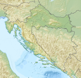
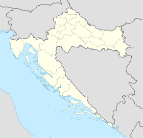
| Coordonnées | 44° 00′ nord, 15° 19′ est | ||
| Localisation | |||
| Géolocalisation sur la carte : Croatie
Géolocalisation sur la carte : Croatie
| |||
| modifier |
|||
Histoire
Cette section est vide, insuffisamment détaillée ou incomplète. Votre aide est la bienvenue ! Comment faire ?
Notes et références
- (en) « Population by Age and Sex, by Settlements, 2011 Census », sur dzs.hr, Crostat - Bureau central de statistiques (consulté le )
 Portail de la Croatie
На других языках
[en] Dobropoljana
Dobropoljana is a village in Croatia on a cove on the north side of the island of Pašman, Zadar County. It is located below the highest peak on the island (Bokolj, 274 m). Chief occupations are farming, olive growing, fishing and seafaring. The marina is protected from south and west winds and provides good shelter for smaller yachts. First mentioned in 1270, Dobropoljana was intensely populated in the 17th century by refugees from the Zadar hinterland. It is connected by the D110 highway to the rest of the island of Pašman.- [fr] Dobropoljana
Текст в блоке "Читать" взят с сайта "Википедия" и доступен по лицензии Creative Commons Attribution-ShareAlike; в отдельных случаях могут действовать дополнительные условия.
Другой контент может иметь иную лицензию. Перед использованием материалов сайта WikiSort.org внимательно изучите правила лицензирования конкретных элементов наполнения сайта.
Другой контент может иметь иную лицензию. Перед использованием материалов сайта WikiSort.org внимательно изучите правила лицензирования конкретных элементов наполнения сайта.
2019-2026
WikiSort.org - проект по пересортировке и дополнению контента Википедии
WikiSort.org - проект по пересортировке и дополнению контента Википедии