world.wikisort.org - Colombia
Puerto Salgar è un comune della Colombia facente parte del dipartimento di Cundinamarca.
| Puerto Salgar comune | |||
|---|---|---|---|
| |||
 | |||
| Localizzazione | |||
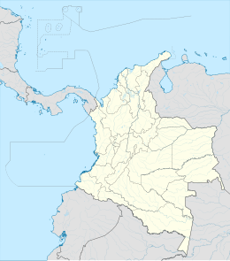
| Stato | |||
| Dipartimento | |||
| Amministrazione | |||
| Sindaco | Antonio Moreno Vera | ||
| Territorio | |||
| Coordinate | 5°28′12″N 74°39′27″W | ||
| Altitudine | 190 m s.l.m. | ||
| Superficie | 521 km² | ||
| Abitanti | 15 237[1] (2005) | ||
| Densità | 29,25 ab./km² | ||
| Altre informazioni | |||
| Fuso orario | UTC-5 | ||
| Nome abitanti | Salgareños | ||
| Cartografia | |||
 Puerto Salgar | |||
 | |||
| Sito istituzionale | |||


Il centro abitato venne fondato da Eustorgio Salgar nel 1935.
Note
- (ES) Dati del censimento 2005 forniti dal DANE - Departamento Administrativo Nacional de Estadística (PDF), su dane.gov.co. URL consultato il 12-11-2009.
Altri progetti
 Wikimedia Commons contiene immagini o altri file su Puerto Salgar
Collegamenti esterni
- (ES) Scheda sul sito del dipartimento di Cundinamarca, su cundinamarca.gov.co. URL consultato il 12-11-2009.
На других языках
[en] Puerto Salgar
Puerto Salgar (Spanish pronunciation: [ˈpweɾto salˈɣaɾ]) is a municipality and town of Colombia in the northwestern part of the department of Cundinamarca. It came to international attention when the US ambassador in Colombia announced the Palanquero Air Base had entered a recertification process, possibly in order to host US military personnel as a replacement to the Manta Air Base.[2] As of July 2009, negotiations were ongoing.[3]- [it] Puerto Salgar
Текст в блоке "Читать" взят с сайта "Википедия" и доступен по лицензии Creative Commons Attribution-ShareAlike; в отдельных случаях могут действовать дополнительные условия.
Другой контент может иметь иную лицензию. Перед использованием материалов сайта WikiSort.org внимательно изучите правила лицензирования конкретных элементов наполнения сайта.
Другой контент может иметь иную лицензию. Перед использованием материалов сайта WikiSort.org внимательно изучите правила лицензирования конкретных элементов наполнения сайта.
2019-2026
WikiSort.org - проект по пересортировке и дополнению контента Википедии
WikiSort.org - проект по пересортировке и дополнению контента Википедии