world.wikisort.org - Canada
Dutton/Dunwich is a municipality located in western Elgin County in Southwestern Ontario, Canada.
Dutton/Dunwich | |
|---|---|
Municipality (lower-tier) | |
| Municipality of Dutton/Dunwich | |
 Dutton/Dunwich Municipal Hall | |
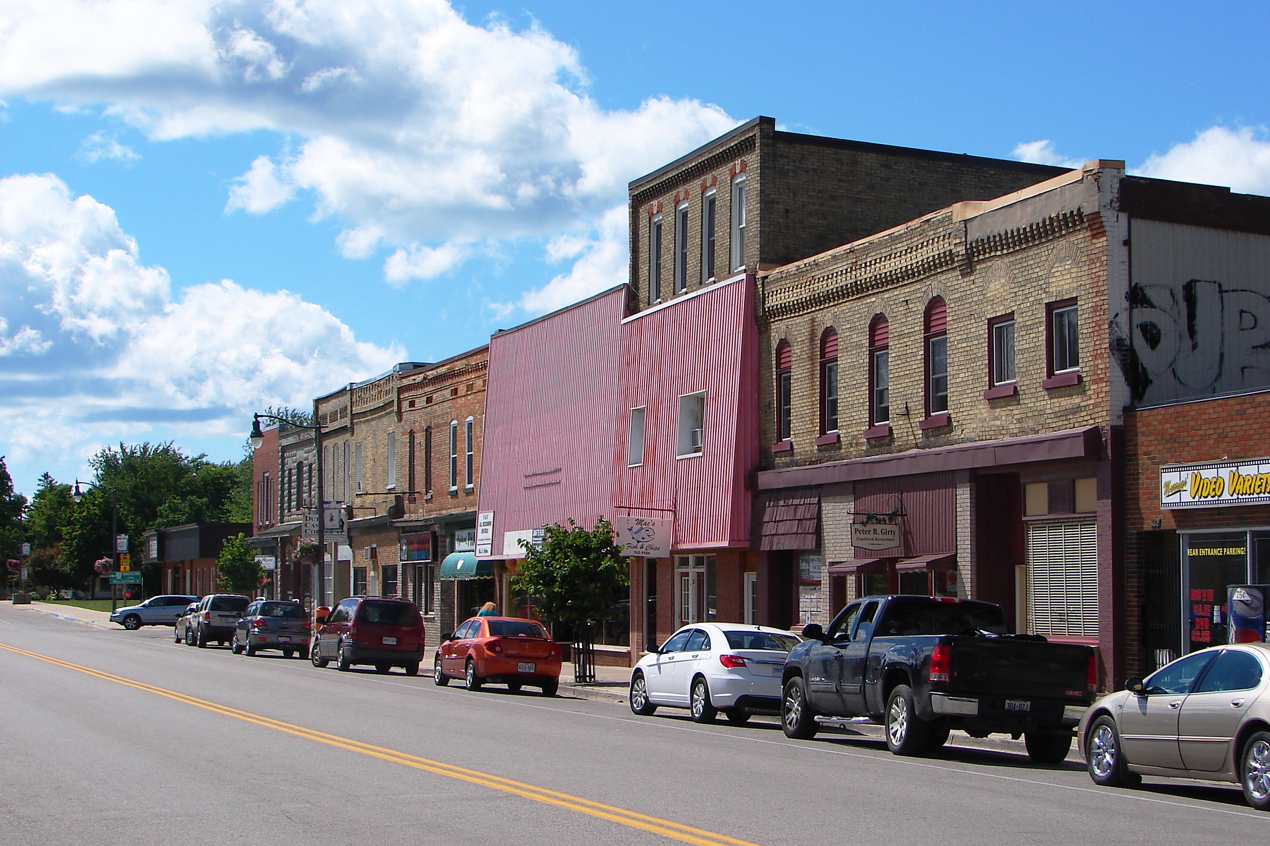
 Dutton/Dunwich Location in southern Ontario | |
| Coordinates: 42°40′N 81°30′W | |
| Country | |
| Province | |
| County | Elgin |
| Formed | 1998 |
| Government | |
| • Mayor | Bob Purcell |
| • Federal riding | Elgin—Middlesex—London |
| • Prov. riding | Elgin—Middlesex—London |
| Area | |
| • Land | 294.58 km2 (113.74 sq mi) |
| Population (2016)[1] | |
| • Total | 3,866 |
| • Density | 13.1/km2 (34/sq mi) |
| Time zone | UTC-5 (EST) |
| • Summer (DST) | UTC-4 (EDT) |
| Postal Code | N0L |
| Area code(s) | 519 and 226 |
| Website | www |
The municipality was formed in 1998 through an amalgamation of the Village of Dutton and former Township of Dunwich. It includes the Hamlets of Wallacetown, Duttona Beach, and the western parts of both Iona and Iona Station. It is bisected both by Highway 401 and by the rail lines of the Penn Central Railroad and the Chesapeake & Ohio Railway.[2]
Dutton/Dunwich has a large farming community involving a variety of agricultural methods. The region is primarily made up of inhabitants of English ancestry, with minorities of Scottish, Portuguese, and Dutch heritage.
Demographics
In the 2021 Census of Population conducted by Statistics Canada, Dutton/Dunwich had a population of 4,152 living in 1,596 of its 1,677 total private dwellings, a change of 7.4% from its 2016 population of 3,866. With a land area of 294.38 km2 (113.66 sq mi), it had a population density of 14.1/km2 (36.5/sq mi) in 2021.[3]
| 2021 | 2016 | 2011 | |
|---|---|---|---|
| Population | 4,152 (+7.4% from 2016) | 3,866 (-0.3% from 2011) | 3,876 (+1.4% from 2006) |
| Land area | 294.38 km2 (113.66 sq mi) | 294.58 km2 (113.74 sq mi) | 294.64 km2 (113.76 sq mi) |
| Population density | 14.1/km2 (37/sq mi) | 13.1/km2 (34/sq mi) | 13.2/km2 (34/sq mi) |
| Median age | 44 (M: 42, F: 45.6) | 45.4 (M: 44.7, F: 46.1) | 43.2 (M: 42.1, F: 44.2) |
| Total private dwellings | 1,595 | 1,556 | 1,495 |
| Median household income | $73,312 |
| Year | Pop. | ±% |
|---|---|---|
| 1996 | 3,603 | — |
| 2001 | 3,696 | +2.6% |
| 2006 | 3,821 | +3.4% |
| 2011 | 3,876 | +1.4% |
| 2016 | 3,866 | −0.3% |
| [9][1] | ||
Education
Dunwich-Dutton Public School is located in the village of Dutton, and managed by the Thames Valley District School Board. The school was built in 1927 and was a high school, until June 1952. It became a K-8 school in January 1953, and was restructured again in September 1973, from when it has educated in K-6.In 2016 the school was once again changed to a JK-8 school following the closure of WESES.[10]
Tyrconnell
Tyrconnell is a ghost town located south of Wallacetown. Settled in 1809, the mill settlement lost out to Port Burwell and Port Stanley when railways extended to the area in the 1850s.[11]
Notable people
- John Kenneth Galbraith, (Scholar, and economic adviser to U.S. President John F. Kennedy) was born in Iona Station, Ontario in 1908 and died 2006.
- Ellis Wellwood Sifton VC (12 October 1891 – 9 April 1917) was a Canadian recipient of the Victoria Cross, the highest and most prestigious award for gallantry in the face of the enemy that can be awarded to British and Commonwealth forces, earned at the Battle of Vimy Ridge.
- James Dunn (b. 2000), member of Canada's 2018 Paralympic Hockey Team, is from the hamlet of Wallacetown.[12][13]
- Elaine Keillor (b. 1939), C.M., ARCT, PhD., Hon. Mus. Doc. lived in Wallacetown until her marriage in 1963.
See also
- List of townships in Ontario
References
- "Census Profile, 2016 Census: Dutton/Dunwich, Municipality". Statistics Canada. 8 February 2017. Retrieved June 12, 2019.
- "Official Plan-Municipality of Dutton/Dunwich". 2007. Archived from the original on May 27, 2011.
- "Population and dwelling counts: Canada, provinces and territories, census divisions and census subdivisions (municipalities), Ontario". Statistics Canada. February 9, 2022. Retrieved March 31, 2022.
- "2021 Community Profiles". 2021 Canadian Census. Statistics Canada. February 4, 2022. Retrieved 2022-04-27.
- "2016 Community Profiles". 2016 Canadian Census. Statistics Canada. August 12, 2021. Retrieved 2019-06-12.
- "2011 Community Profiles". 2011 Canadian Census. Statistics Canada. March 21, 2019. Retrieved 2012-07-16.
- "2006 Community Profiles". 2006 Canadian Census. Statistics Canada. August 20, 2019.
- "2001 Community Profiles". 2001 Canadian Census. Statistics Canada. July 18, 2021.
- Statistics Canada: 1996, 2001, 2006, 2011 census
- "Dunwich-Dutton Public School". Retrieved June 12, 2019.
- "Tyrconnell (Ghost Town)".
- "Para Hockey Player Profile". www.hockeycanada.ca. Retrieved 2018-03-09.
- nurun.com. "Olympic dream come true". St. Thomas Times-Journal. Retrieved 2018-03-09.
External links
Places adjacent to Dutton/Dunwich | ||||||||||||||||
|---|---|---|---|---|---|---|---|---|---|---|---|---|---|---|---|---|
| ||||||||||||||||
| Authority control |
|
|---|
Другой контент может иметь иную лицензию. Перед использованием материалов сайта WikiSort.org внимательно изучите правила лицензирования конкретных элементов наполнения сайта.
WikiSort.org - проект по пересортировке и дополнению контента Википедии