world.wikisort.org - Brésil
Guará est une région administrative du District fédéral au Brésil.
| Guará | |
 Station de métro Guara | |
| Administration | |
|---|---|
| Pays | |
| État | |
| Langue(s) | portugais |
| Fuseau horaire | UTC-3 |
| Démographie | |
| Population | 112 989 hab.[1] (2010) |
| Densité | 3 054 hab./km2 |
| Géographie | |
| Coordonnées | 15° 49′ 32″ sud, 47° 58′ 48″ ouest |
| Superficie | 3 700 ha = 37 km2 |
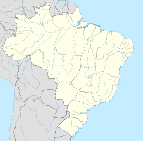
| Localisation | |
| modifier |
|
Sport
Entre 1964 et 2009, Guará disposait de son propre stade national, le Stade Edson Arantes do Nascimento, qui accueillait la principale équipe de football de la municipalité, le CEUB.
Notes et références
- IBGE
- Portail du District Fédéral
На других языках
[de] Guará (Distrito Federal)
Guará, amtlich portugiesisch Região Administrativa de Guará (RA X), ist eine Verwaltungsregion und Satellitenstadt mit 112 989 Einwohnern im brasilianischen Bundesdistrikt, 12 km südwestlich vom Stadtzentrum. Die Verwaltungsregion grenzt an Águas Claras, Vicente Pires, SCIA, SIA, Brasília, Candangolândia und Núcleo Bandeirante an.[en] Guará, Federal District
Guará is an administrative region in the Federal District in Brazil.- [fr] Guará (District fédéral)
Текст в блоке "Читать" взят с сайта "Википедия" и доступен по лицензии Creative Commons Attribution-ShareAlike; в отдельных случаях могут действовать дополнительные условия.
Другой контент может иметь иную лицензию. Перед использованием материалов сайта WikiSort.org внимательно изучите правила лицензирования конкретных элементов наполнения сайта.
Другой контент может иметь иную лицензию. Перед использованием материалов сайта WikiSort.org внимательно изучите правила лицензирования конкретных элементов наполнения сайта.
2019-2025
WikiSort.org - проект по пересортировке и дополнению контента Википедии
WikiSort.org - проект по пересортировке и дополнению контента Википедии


